
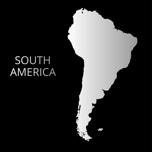
Stock image South America Map Flat page 2

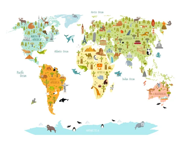
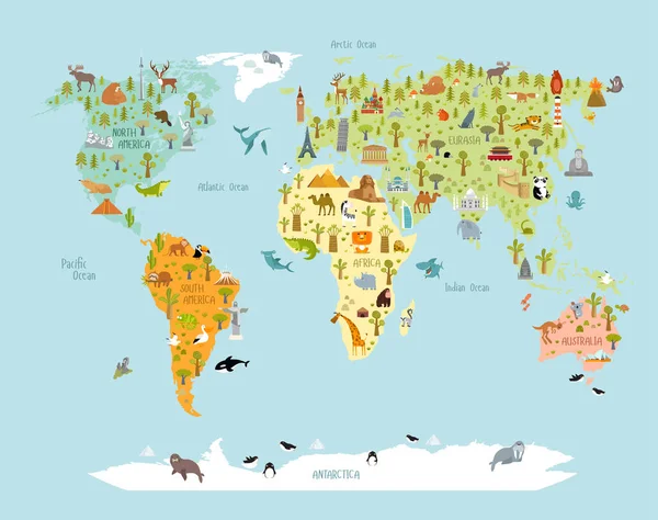
Print. World Map With Animals And Architectural Landmarks For Kids. Eurasia, Africa, South America, North America, Australia. Cartoon Animals.
Vector, 9.63MB, 7071 × 5596 eps
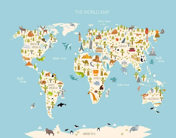
Print. World Map With Animals And Architectural Landmarks For Kids. Eurasia, Africa, South America, North America, Australia. Cartoon Animals.
Vector, 9.65MB, 6439 × 5096 eps
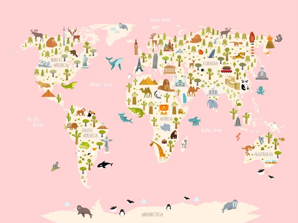
Print. World Map With Animals And Architectural Landmarks For Kids. Eurasia, Africa, South America, North America, Australia. Cartoon Animals.
Vector, 9.76MB, 6544 × 5133 eps
Print. World Map With Animals And Architectural Landmarks For Kids. Eurasia, Africa, South America, North America, Australia. Cartoon Animals.
Vector, 9.73MB, 7313 × 5488 eps


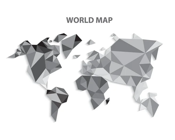

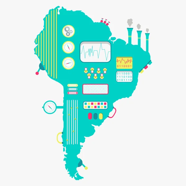
Triangle World Map Vector Illustration. Stylize World Map, Technology Concept
Vector, 3.22MB, 5000 × 3333 eps
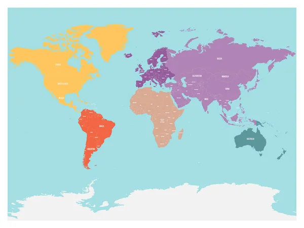
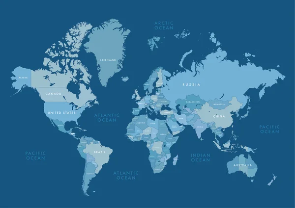
Political Map Of World With Antarctica. Continents In Different Colors On Blue Background. Black Labels With States And Significant Dependent Territories Names. High Detail Vector Illustration
Vector, 7.65MB, 6000 × 4500 eps

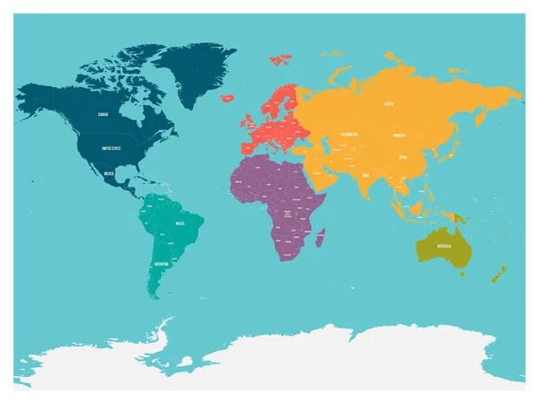
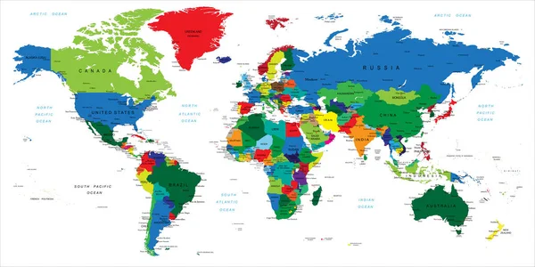
Political Map Of World With Antarctica. Continents In Different Colors On Blue Background. White Labels With States And Significant Dependent Territories Names. High Detail Vector Illustration
Vector, 7.64MB, 6000 × 4500 eps

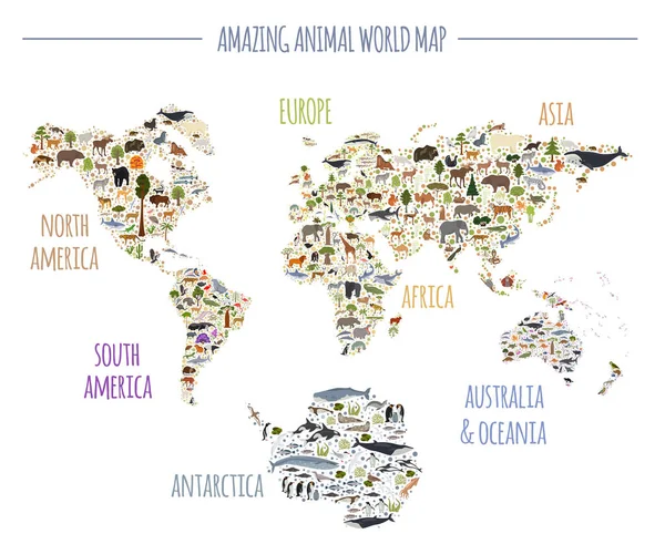
Flat World Flora And Fauna Map Constructor Elements. Animals, Birds And Sea Life Isolated Big Set. Build Your Own Geography Infographics Collection. Vector Illustration
Vector, 9.63MB, 5496 × 4500 eps

Curved Paper Map Of Paraguay With Capital Asuncion On Gray Background.
Vector, 0.26MB, 6496 × 5000 eps


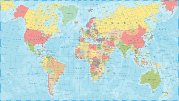
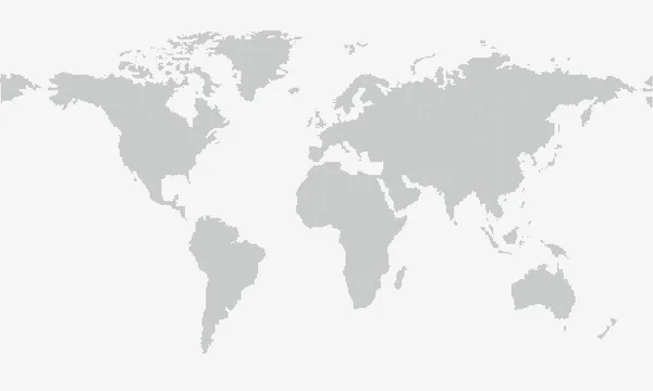
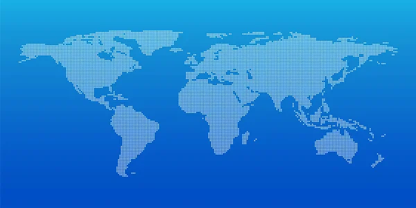
Blue Similar World Map. World Map Blank. World Map Vector. World Map Flat. World Map Template. World Map Object. World Map Eps. World Map Infographic. World Map Clean. World Map Art. World Map Card
Vector, 4MB, 6250 × 4301 eps

World Map Elements. Build Your Own Geography Info Graphic Collection. Vector Illustration
Vector, 1.02MB, 5407 × 4500 eps
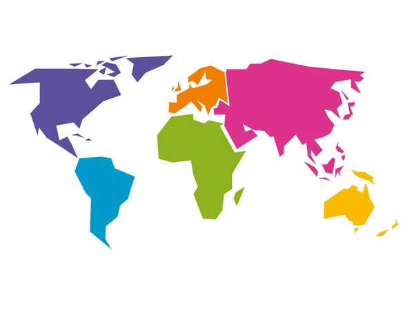
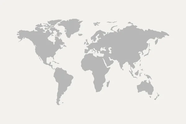
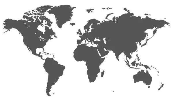
Simplified World Map Divided To Six Continents In Different Colors. Simple Flat Vector Illustration.
Vector, 0.22MB, 8000 × 6000 eps


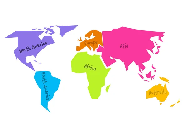
World Map Divided Into Six Continents. Name Of Each Continent Wrapped In. Simplified Vector Illustration
Vector, 0.43MB, 6000 × 4500 eps

Flat World Flora And Fauna Map Constructor Elements. Animals, Birds And Sea Life Isolated Big Set. Build Your Own Geography Infographics Collection. Vector Illustration
Vector, 9.61MB, 5496 × 4500 eps

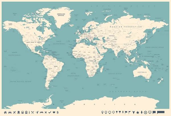
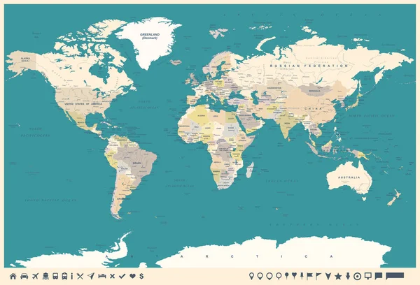
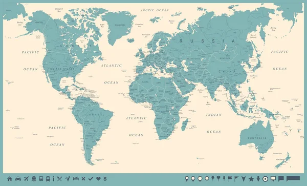
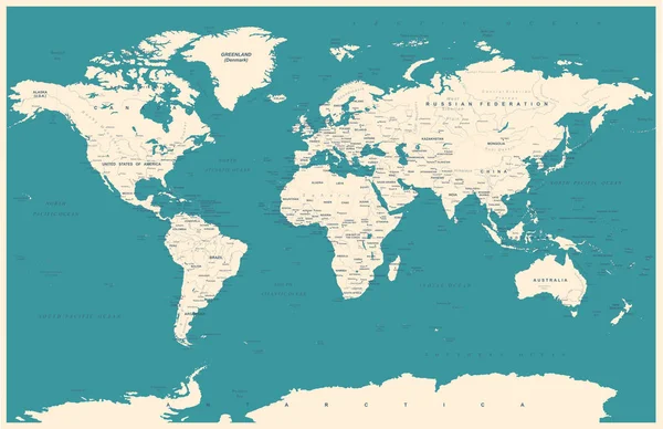
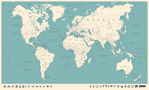
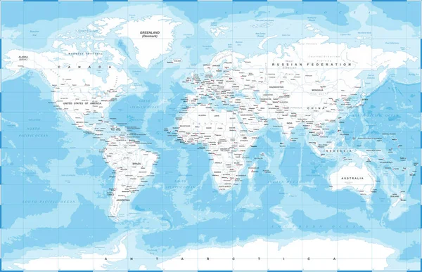
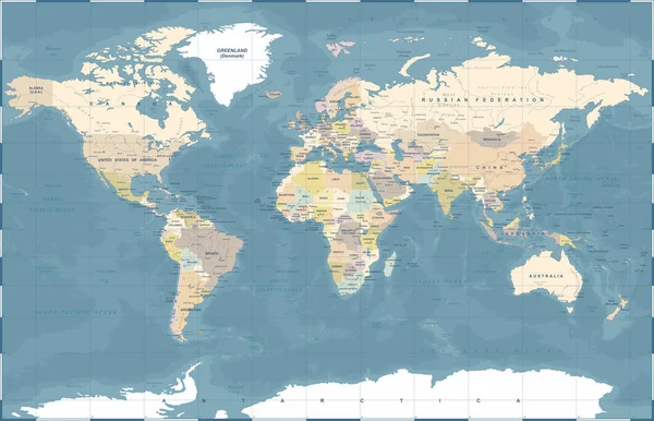
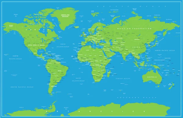
Highly Detailed Map Of The World With Countries, Big Cities And Other Labels,updated With South Sudan,Kosovo And North Macedonia
Vector, 12.12MB, 12000 × 6001 eps
Simplified World Map Divided To Six Continents In Different Colors. Simple Flat Vector Illustration.
Vector, 0.31MB, 8000 × 6000 eps

Previous << Page 2 >> Next