
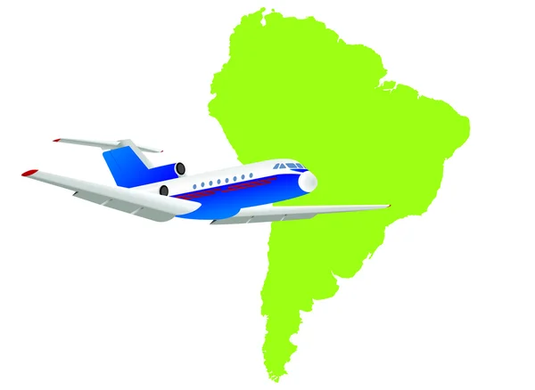
Stock image South America Map Vector page 2
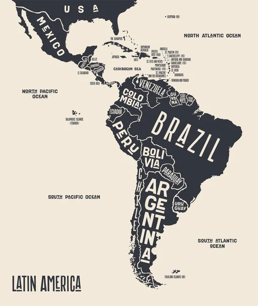
Map Latin America. Poster Map Of Latin America. Black And White Print Map Of Latin America For T-shirt, Poster Or Geographic Themes. Hand-drawn Graphic Map With Countries. Vector Illustration
Vector, 6.47MB, 5048 × 6000 eps


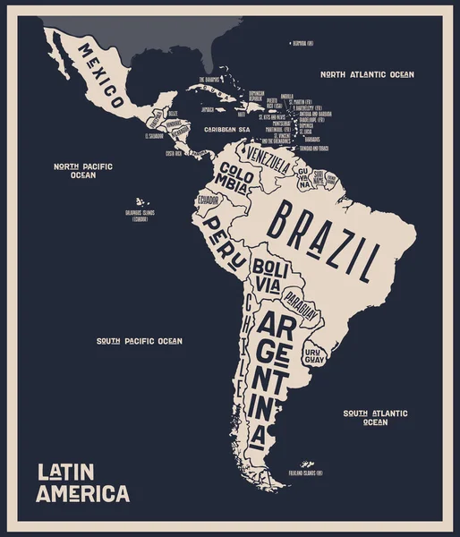
Map Latin America. Poster Map Of Latin America. Black And White Print Map Of Latin America For T-shirt, Poster Or Geographic Themes. Hand-drawn Graphic Map With Countries. Vector Illustration
Vector, 6.49MB, 5142 × 6000 eps
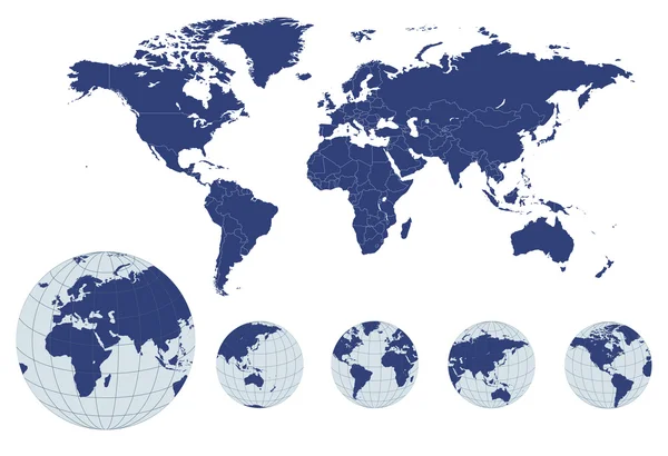

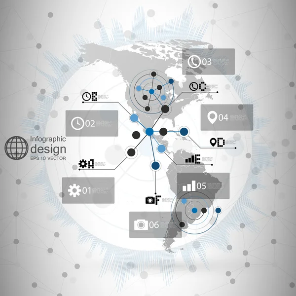
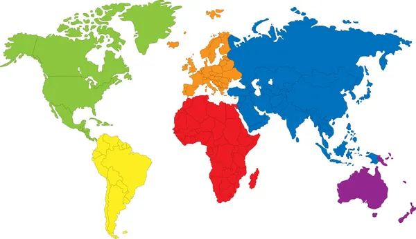
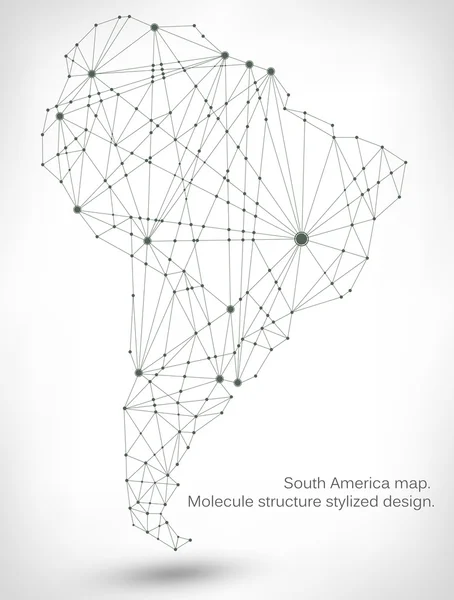
North And South America Map Vector, Infographic Design Illustration For Communication
Vector, 8.45MB, 4724 × 4724 eps


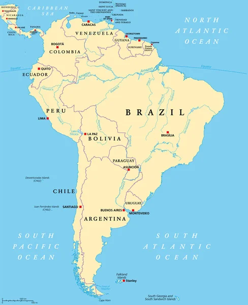
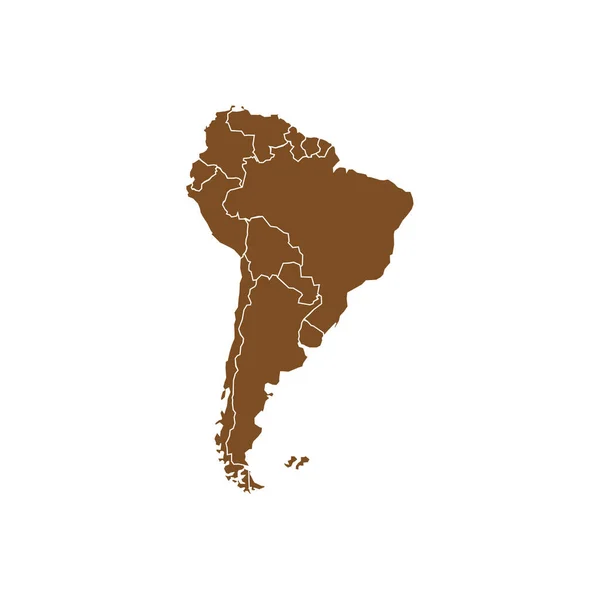
South America, Political Map With Borders, Capitals And The Largest Rivers. A Continent, Bordered By The Pacific And The Atlantic Ocean, By North America And The Caribbean Sea. Illustration. Vector.
Vector, 6.47MB, 6000 × 7368 eps


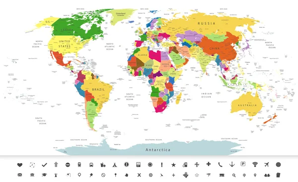
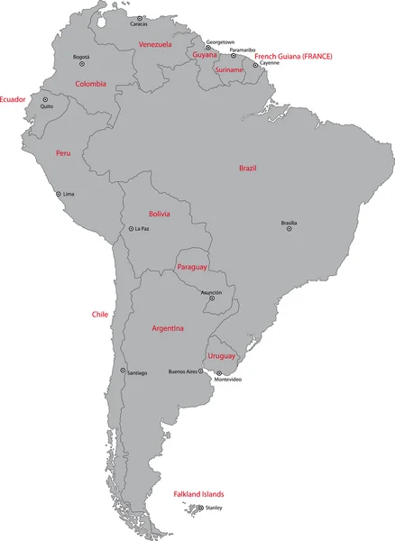
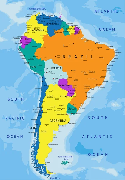
Vector Map Of South America Continent With Countries, Capitals, Main Cities And Seas And Islands Names In Brilliant Colors.
Vector, 2.24MB, 5673 × 7088 eps


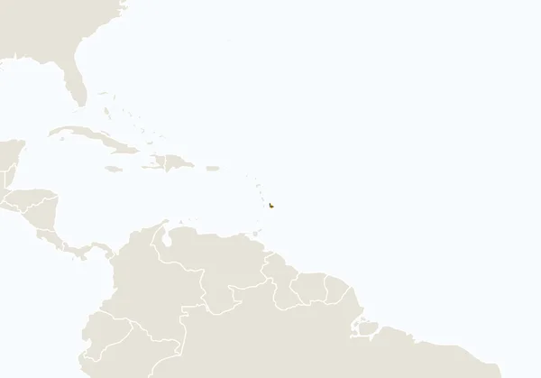
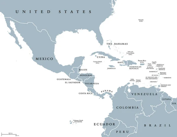
Political Map Of Latin America. Latin American States Blue Highlighted In The Map Of South America, Central America And Caribbean. Vector Illustration
Vector, 1.83MB, 6000 × 6000 eps
Previous << Page 2 >> Next