photo free
Home Images Vectors Videos

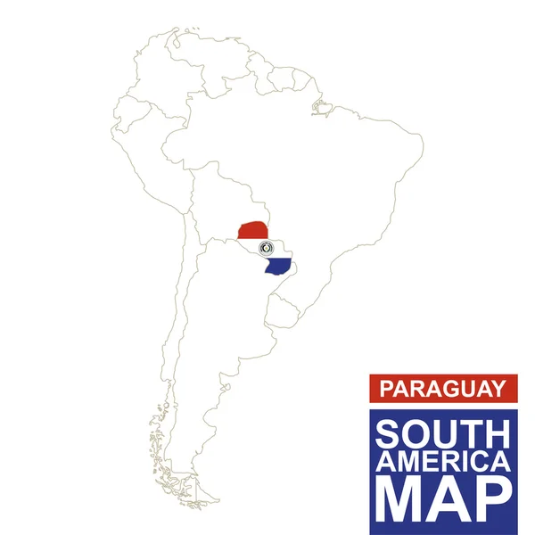
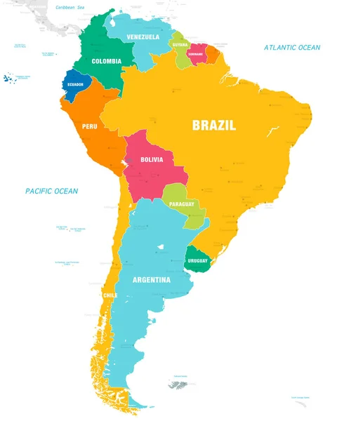
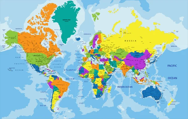
Stock image South America Map Vector page 3

stock vector South America map blue ocean and green continent. Vector

South America Map Blue Ocean And Green Continent. Vector

Vector, 0.27MB, 8333 × 8333 eps
stock vector South America map

South America Map

Vector, 3.27MB, 5160 × 7061 eps
stock vector blue vector map of South America

Blue Vector Map Of South America

Vector, 1.96MB, 3600 × 4500 eps
stock vector blue polygonal South America map

Blue Polygonal South America Map

Vector, 1.44MB, 3655 × 4300 eps
stock vector Middle America political map

Middle America Political Map

Vector, 3.11MB, 8999 × 6982 eps
stock vector South America Map Infographics

South America Map Infographics

Vector, 1.75MB, 8500 × 5666 eps
stock vector South America contoured map with highlighted Paraguay.

South America Contoured Map With Highlighted Paraguay.

Vector, 1.19MB, 5000 × 5000 eps
stock vector South America contoured map with highlighted Suriname.

South America Contoured Map With Highlighted Suriname.

Vector, 0.95MB, 5000 × 5000 eps
stock vector Creative South America Map Vector, vector eps 10

Creative South America Map Vector, Vector Eps 10

Vector, 2.34MB, 4000 × 4000 eps
stock vector Colorful South America political map

Colorful South America Political Map

Vector, 6.75MB, 3970 × 5671 eps
stock vector USA vector map

USA Vector Map

Vector, 0.57MB, 3300 × 2600 eps
stock vector Dotted world map

Dotted World Map

Vector, 0.98MB, 5000 × 2857 eps
stock vector South America, political map with borders, capitals and the largest rivers. A continent, bordered by the Pacific and the Atlantic Ocean, by North America and the Caribbean Sea. Illustration. Vector.

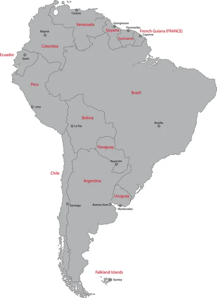
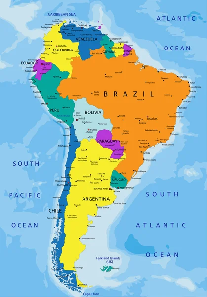
South America, Political Map With Borders, Capitals And The Largest Rivers. A Continent, Bordered By The Pacific And The Atlantic Ocean, By North America And The Caribbean Sea. Illustration. Vector.

Vector, 6.47MB, 6000 × 7368 eps
stock vector World Map Vintage Political - Vector Illustration

World Map Vintage Political - Vector Illustration

Vector, 39.88MB, 6001 × 3669 eps
stock vector Abstract background with map

Abstract Background With Map

Vector, 10.03MB, 5148 × 5148 eps
stock vector South America map.

South America Map.

Vector, 0.81MB, 4134 × 5457 eps
stock vector World Map Vintage Political - Vector Illustration - Layers

World Map Vintage Political - Vector Illustration - Layers

Vector, 37.45MB, 5964 × 3632 eps
stock vector South America Beige

South America Beige

Vector, 1.11MB, 4724 × 4724 eps
stock vector Vector map of South America Continent with Countries, Capitals, Main Cities and Seas and islands names in brilliant colors.

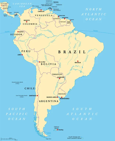
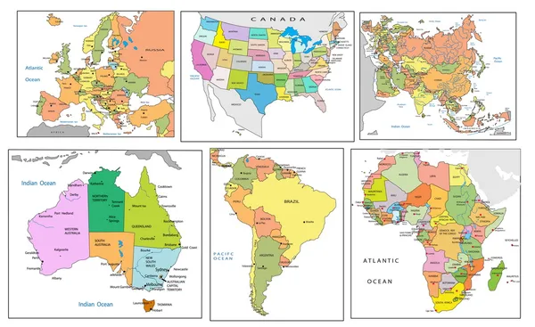
Vector Map Of South America Continent With Countries, Capitals, Main Cities And Seas And Islands Names In Brilliant Colors.

Vector, 2.24MB, 5673 × 7088 eps
stock vector Vintage Illustrated World Map

Vintage Illustrated World Map

Vector, 15.09MB, 8000 × 4610 eps
stock vector Isometric 3d South America flora and fauna map elements. Animals

Isometric 3d South America Flora And Fauna Map Elements. Animals

Vector, 2.26MB, 6135 × 4500 eps
stock vector South America physical map.

South America Physical Map.

Vector, 6.27MB, 3969 × 5434 eps
stock vector Black silhouette map of United States of America

Black Silhouette Map Of United States Of America

Vector, 0.02MB, 12000 × 9000 eps
stock vector Political map of Latin America. Latin american states blue highlighted in the map of South America, Central America and Caribbean. Vector illustration

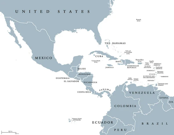
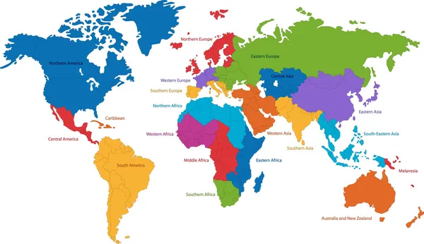
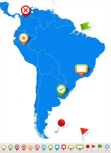
Political Map Of Latin America. Latin American States Blue Highlighted In The Map Of South America, Central America And Caribbean. Vector Illustration

Vector, 1.83MB, 6000 × 6000 eps
stock vector World map

World Map

Vector, 3.19MB, 7502 × 4330 eps
stock vector World Map and navigation icons - illustration

World Map And Navigation Icons - Illustration

Vector, 6.14MB, 7500 × 4312 eps
stock vector Political map of continents

Political Map Of Continents

Vector, 4.3MB, 4125 × 2525 eps
stock vector Vector abstract dotted globe, Central heating views over North a

Vector Abstract Dotted Globe, Central Heating Views Over North A

Vector, 3.1MB, 4500 × 4500 eps
stock vector North and South America map

North And South America Map

Vector, 6.85MB, 4567 × 4567 eps
stock vector Colorful World political map

Colorful World Political Map

Vector, 10.76MB, 3833 × 2439 eps
stock vector South America map and navigation icons - Illustration.

South America Map And Navigation Icons - Illustration.

Vector, 1.71MB, 5400 × 7423 eps
stock vector North and South America - map and navigation labels - illustration.

North And South America - Map And Navigation Labels - Illustration.

Vector, 2.35MB, 5400 × 8567 eps
stock vector The World Map with The Frontiers and Country Names

The World Map With The Frontiers And Country Names

Vector, 5.01MB, 4800 × 3200 ai
stock vector World Map

World Map

Vector, 22.59MB, 6010 × 5797 eps
stock vector World Map and navigation icons - illustration.

World Map And Navigation Icons - Illustration.

Vector, 13.49MB, 8400 × 4692 eps
stock vector blue polygonal North America map

Blue Polygonal North America Map

Vector, 1.43MB, 4500 × 3600 eps
stock vector World Map and Globes - illustration.

World Map And Globes - Illustration.

Vector, 12.26MB, 7400 × 6290 eps
stock vector South America

South America

Vector, 2.93MB, 4884 × 7061 eps
stock vector South America Global World

South America Global World

Vector, 0.71MB, 5560 × 5534 eps
stock vector World Map Outline Illustration

World Map Outline Illustration

Vector, 7.33MB, 6667 × 5000 eps
stock vector Abstract continent of South America from triangles. Origami style.

Abstract Continent Of South America From Triangles. Origami Style.

Vector, 0.28MB, 5000 × 5000 eps
stock vector World map in blue color on white background. High detail blank political map. Vector illustration with labeled compound path of each country

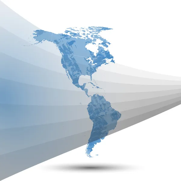
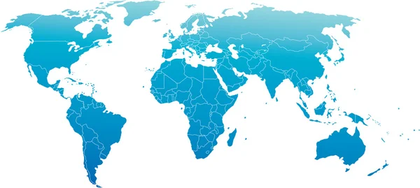
World Map In Blue Color On White Background. High Detail Blank Political Map. Vector Illustration With Labeled Compound Path Of Each Country

Vector, 3.97MB, 8000 × 6000 eps
stock vector World map

World Map

Vector, 4.3MB, 6686 × 3000 eps
stock vector Political map of world with Antarctica. Countries in four different colors without borders on white background. Black labels of states and significant dependent territories names. High detail vector

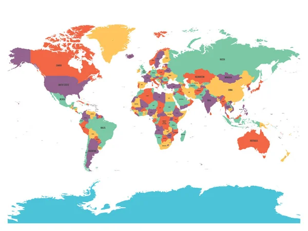
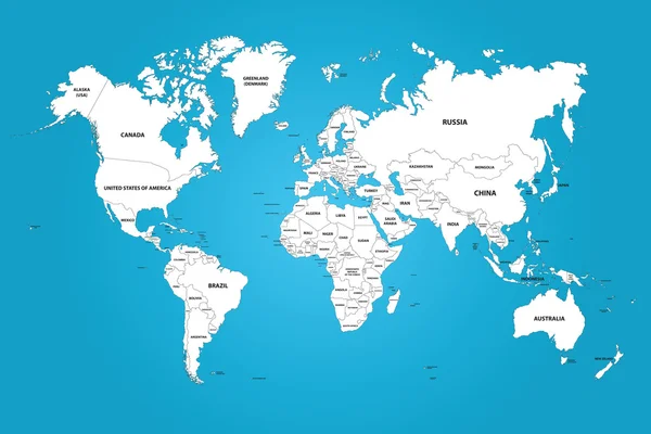
Political Map Of World With Antarctica. Countries In Four Different Colors Without Borders On White Background. Black Labels Of States And Significant Dependent Territories Names. High Detail Vector

Vector, 4.49MB, 6000 × 4500 eps
stock vector An old map of the world. Vector illustration.

An Old Map Of The World. Vector Illustration.

Vector, 8.68MB, 7500 × 5000 eps
stock vector Detailed World Map in colors of brown

Detailed World Map In Colors Of Brown

Vector, 6.97MB, 8159 × 4274 eps
stock vector world map grey

World Map Grey

Vector, 2.32MB, 5000 × 3333 eps
stock vector North and South America map

North And South America Map

Vector, 1.44MB, 5000 × 5000 eps
stock vector World Map and Flags - borders, countries and cities - vintage vector illustration

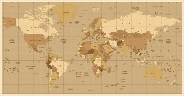
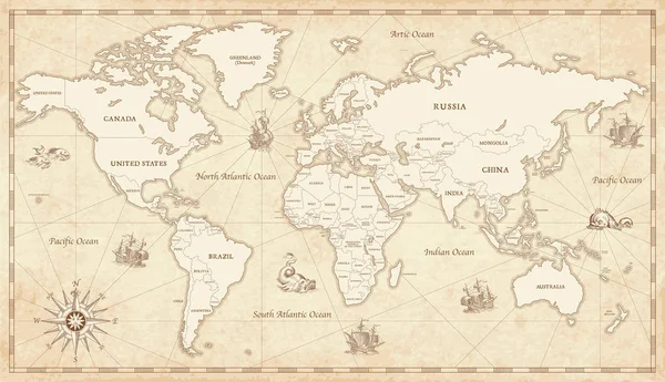
World Map And Flags - Borders, Countries And Cities - Vintage Vector Illustration

Vector, 18.08MB, 6261 × 4248 eps
stock vector Triangle world map vector illustration. Stylize world map, technology concept

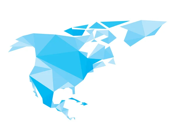
Triangle World Map Vector Illustration. Stylize World Map, Technology Concept

Vector, 3.22MB, 5000 × 3333 eps
Previous << Page 3 >> Next