photo free
Home Images Vectors Videos

Stock image South Cambridgeshire

stock vector South Cambridgeshire blank outline map set

South Cambridgeshire Blank Outline Map Set

Vector, 0.24MB, 6000 × 3000 eps
stock vector United Kingdom administrative districts vector high detailed map colored by regions and counties

United Kingdom Administrative Districts Vector High Detailed Map Colored By Regions And Counties

Vector, 10MB, 5144 × 8333 eps
stock image Alpacas in field walking

Alpacas In Field Walking

Image, 4.65MB, 3200 × 1640 jpg
stock image View of the South part of the Cathedral from The Gallery Street in Ely, Cambridgeshire, Norfolk, UK

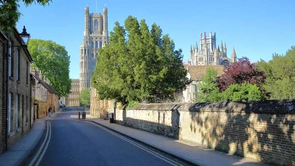
View Of The South Part Of The Cathedral From The Gallery Street In Ely, Cambridgeshire, Norfolk, UK

Image, 15.32MB, 5749 × 3234 jpg
stock image South side view of Peterborough Cathedral, Peterborough, UK.

South Side View Of Peterborough Cathedral, Peterborough, UK.

Image, 8.99MB, 3872 × 2592 jpg
stock vector England ceremonial counties vector map colored by regions

England Ceremonial Counties Vector Map Colored By Regions

Vector, 9.96MB, 7292 × 7292 eps
stock vector England counties vector map

England Counties Vector Map

Vector, 13.84MB, 7294 × 4690 eps
stock vector United Kingdom administrative districts high detailed vector map colored by regions with editable and labelled layers

United Kingdom Administrative Districts High Detailed Vector Map Colored By Regions With Editable And Labelled Layers

Vector, 10.16MB, 6454 × 8333 eps
stock vector vector map of England ceremonial counties. Flag of England. Navigation and location icons

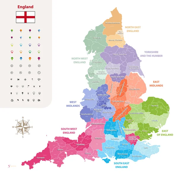
Vector Map Of England Ceremonial Counties. Flag Of England. Navigation And Location Icons

Vector, 9.37MB, 7292 × 7292 eps
stock vector The Cambridgeshire county isolated map divided in districts with labels, England

The Cambridgeshire County Isolated Map Divided In Districts With Labels, England

Vector, 8.31MB, 4500 × 5000 eps
stock vector England ceremonial counties and their districts vector map. Each county distinctions between each other by different color palette

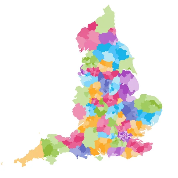
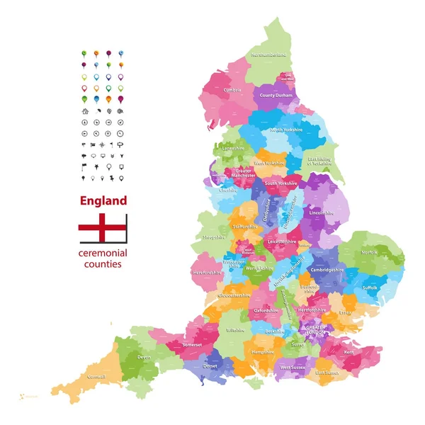
England Ceremonial Counties And Their Districts Vector Map. Each County Distinctions Between Each Other By Different Color Palette

Vector, 5.73MB, 7292 × 7292 eps
stock vector United Kingdom high detailed vector map with administrative divisions borders

United Kingdom High Detailed Vector Map With Administrative Divisions Borders

Vector, 7.6MB, 5379 × 8333 eps
stock vector vector map of United Kingdom administrative divisions colored by countries and regions. Districts and counties map of England, Wales, Scotland and Northern Ireland

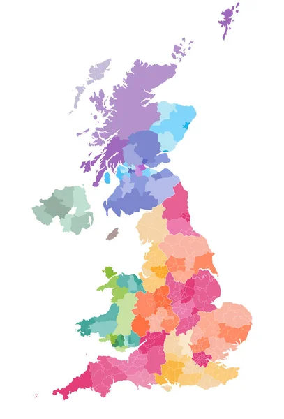
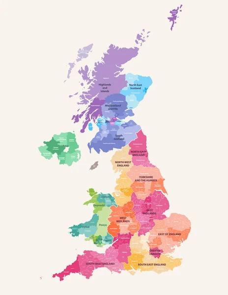
Vector Map Of United Kingdom Administrative Divisions Colored By Countries And Regions. Districts And Counties Map Of England, Wales, Scotland And Northern Ireland

Vector, 6.25MB, 5656 × 8333 eps
Page 1 >> Next