Stock image South Carolina Boundary page 2

North Carolina Counties, Political Map With Borders County Names. State In The Southeastern Region Of United States, Subdivided Into 100 Counties. Nicknamed The Tar Heel State And The Old North State.
Vector, 3.61MB, 9000 × 5155 eps

The Carolinas Or Carolina, The U.S. States North Carolina And South Carolina, Political Map, With Borders And Capitals Raleigh And Columbia. Bordered By Virginia, Tennessee, Georgia, And The Atlantic.
Vector, 4.05MB, 8806 × 6000 eps

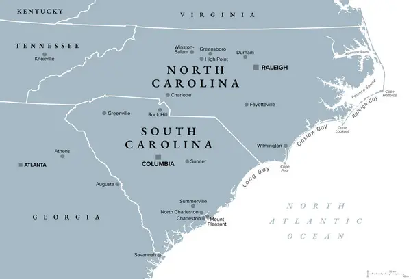
The Carolinas Or Simply Carolina, U.S. States North And South Carolina, Gray Political Map, With Borders And Capitals Raleigh And Columbia. Bordered By Virginia, Tennessee, Georgia, And The Atlantic.
Vector, 3.14MB, 8808 × 6000 eps

South Atlantic States, Multi Colored Political Map. United States Census Division Of The South Region. Delaware, Florida, Georgia, Maryland, North And South Carolina, Virginia, DC, And West Virginia.
Vector, 0.85MB, 6000 × 7818 eps

South Carolina Counties, Gray Political Map With Borders And County Names. State In The Southeastern Region Of The United States, Subdivided Into 46 Counties. Nicknamed The Palmetto State. Vector
Vector, 2.76MB, 7200 × 6000 eps

South, U.S. Census Region, Colored Political Map. Census Region 3 Of United States, Consisting Of 16 Single States And District Of Columbia. Colored Silhouettes Of States With Borders And Capitals.
Vector, 2.46MB, 8955 × 6000 eps
Previous << Page 2 >> Next
