photo free
Home Images Vectors Videos

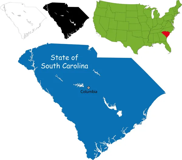
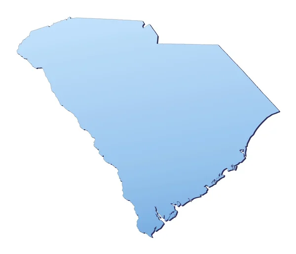
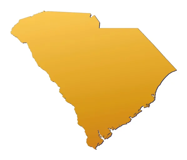
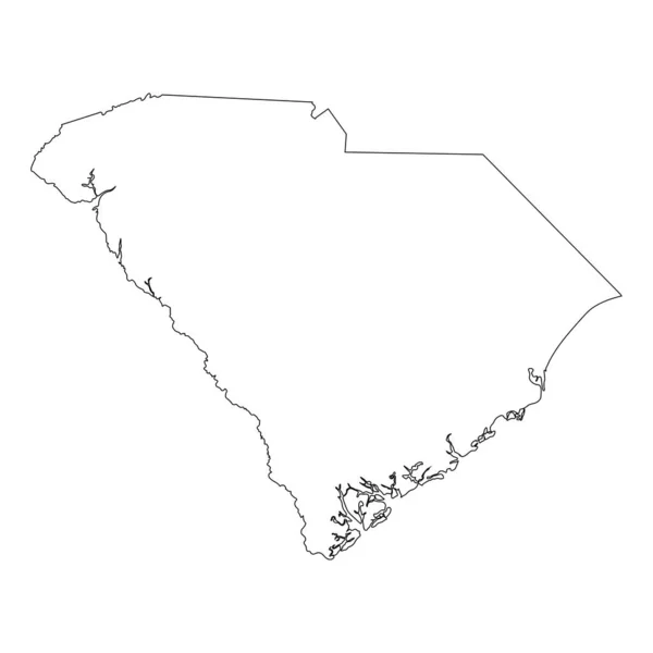
Stock image South Carolina Boundary

stock vector south carolina

South Carolina

Vector, 2.79MB, 5000 × 4000 eps
stock vector South carolina map

South Carolina Map

Vector, 4.96MB, 5302 × 4654 eps
stock image 3d Render of the United States Highlighting South Carolina

3d Render Of The United States Highlighting South Carolina

Image, 2.17MB, 5565 × 4300 jpg
stock vector South Carolina SC state Map USA. Black silhouette and outline isolated maps on a white background. EPS Vector

South Carolina SC State Map USA. Black Silhouette And Outline Isolated Maps On A White Background. EPS Vector

Vector, 5.62MB, 8334 × 12501 eps
stock vector north carolina

North Carolina

Vector, 2.8MB, 5000 × 4000 eps
stock image South Carolina(USA) map

South Carolina(USA) Map

Image, 1.17MB, 3485 × 2992 jpg
stock vector South Carolina outline map set

South Carolina Outline Map Set

Vector, 0.28MB, 4928 × 4941 eps
stock image Geographic border map and flag of South Carolina, The Palmetto State

Geographic Border Map And Flag Of South Carolina, The Palmetto State

Image, 0.83MB, 4000 × 3000 jpg
stock vector South Carolina state blank vector outline map set

South Carolina State Blank Vector Outline Map Set

Vector, 0MB, 4986 × 5000 zip
stock vector South Carolina US Map. SC USA State Map. Black and White South Carolinian State Border Boundary Line Outline Geography Territory Shape Vector Illustration EPS Clipart

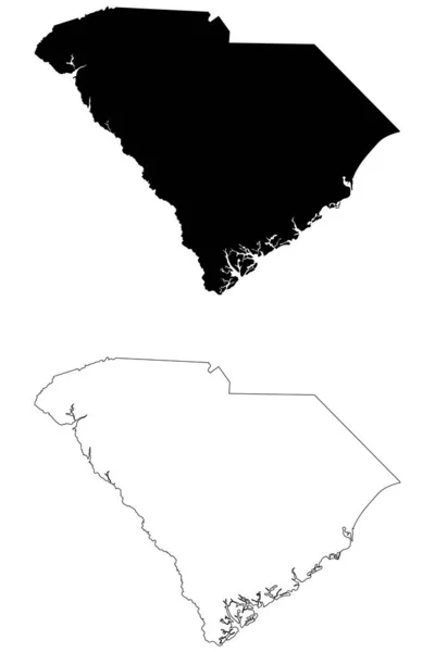
South Carolina US Map. SC USA State Map. Black And White South Carolinian State Border Boundary Line Outline Geography Territory Shape Vector Illustration EPS Clipart

Vector, 5.72MB, 5000 × 4000 eps
stock vector Greenville County, State of South Carolina (U.S. county, United States of America, USA, U.S., US) map vector illustration, scribble sketch Greenville map

Greenville County, State Of South Carolina (U.S. County, United States Of America, USA, U.S., US) Map Vector Illustration, Scribble Sketch Greenville Map

Vector, 0.8MB, 7087 × 4726 eps
stock vector AmericanMap North Carolina

AmericanMap North Carolina

Vector, 1.6MB, 4724 × 4724 eps
stock vector North Carolina map high quality vector. American state simple hand made line drawing map

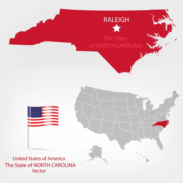
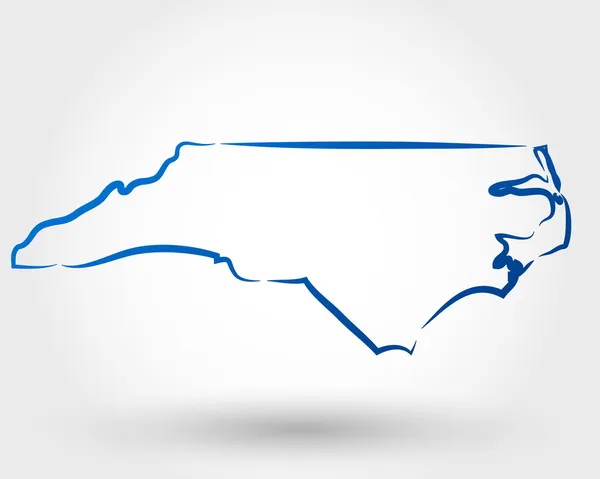
North Carolina Map High Quality Vector. American State Simple Hand Made Line Drawing Map

Vector, 0.06MB, 3500 × 3500 eps
stock image South Carolina (USA) map

South Carolina (USA) Map

Image, 1.4MB, 3485 × 2992 jpg
stock vector Outline map of the United States of America. States of the USA.

Outline Map Of The United States Of America. States Of The USA.

Vector, 0.4MB, 5001 × 5001 eps
stock vector South Carolina SC State Border USA Map Outline

South Carolina SC State Border USA Map Outline

Vector, 5.67MB, 8334 × 8334 eps
stock image 3d Render of the United States Highlighting North Carolina

3d Render Of The United States Highlighting North Carolina

Image, 2.18MB, 5565 × 4300 jpg
stock image South Carolina Red Abstract 3D State Map United States America

South Carolina Red Abstract 3D State Map United States America

Image, 4.78MB, 4096 × 4096 jpg
stock image North Carolina Red Abstract 3D State Map United States America

North Carolina Red Abstract 3D State Map United States America

Image, 4.17MB, 4096 × 4096 jpg
stock image A Welcome to North Carolina sign on the highway marking the state border with Tennessee.

A Welcome To North Carolina Sign On The Highway Marking The State Border With Tennessee.

Image, 24.25MB, 6240 × 4160 jpg
stock vector Set of vector polygonal South Carolina maps.

Set Of Vector Polygonal South Carolina Maps.

Vector, 0.57MB, 8333 × 8333 eps
stock vector South, census region of the United States of America, gray political map of census region 3, consisting of 13 single states and the District of Columbia. Map with geographical borders and capitals.

South, Census Region Of The United States Of America, Gray Political Map Of Census Region 3, Consisting Of 13 Single States And The District Of Columbia. Map With Geographical Borders And Capitals.

Vector, 2.45MB, 8955 × 6000 eps
stock vector North Carolina counties, gray political map with borders and county names. State in the Southeastern region of United States subdivided into 100 counties. Nicknamed Tar Heel State and Old North State.

North Carolina Counties, Gray Political Map With Borders And County Names. State In The Southeastern Region Of United States Subdivided Into 100 Counties. Nicknamed Tar Heel State And Old North State.

Vector, 2.27MB, 9000 × 3935 eps
stock vector South Carolina USA state map shape with flag. Map of South Carolina in the South Carolina flag colors. Outline map filled with its flag colors. Vector illustration.

South Carolina USA State Map Shape With Flag. Map Of South Carolina In The South Carolina Flag Colors. Outline Map Filled With Its Flag Colors. Vector Illustration.

Vector, 5.29MB, 5000 × 3800 eps
stock vector South Carolina counties, political map with borders and county names. State in the Southeastern region of the United States, subdivided into 46 counties. Nicknamed The Palmetto State. Illustration

South Carolina Counties, Political Map With Borders And County Names. State In The Southeastern Region Of The United States, Subdivided Into 46 Counties. Nicknamed The Palmetto State. Illustration

Vector, 3.25MB, 7193 × 6000 eps
stock vector North Carolina counties, political map with borders county names. State in the Southeastern region of United States, subdivided into 100 counties. Nicknamed The Tar Heel State and The Old North State.

North Carolina Counties, Political Map With Borders County Names. State In The Southeastern Region Of United States, Subdivided Into 100 Counties. Nicknamed The Tar Heel State And The Old North State.

Vector, 3.61MB, 9000 × 5155 eps
stock vector The Carolinas or Carolina, the U.S. states North Carolina and South Carolina, political map, with borders and capitals Raleigh and Columbia. Bordered by Virginia, Tennessee, Georgia, and the Atlantic.

The Carolinas Or Carolina, The U.S. States North Carolina And South Carolina, Political Map, With Borders And Capitals Raleigh And Columbia. Bordered By Virginia, Tennessee, Georgia, And The Atlantic.

Vector, 4.05MB, 8806 × 6000 eps
stock vector The Carolinas or simply Carolina, U.S. states North and South Carolina, gray political map, with borders and capitals Raleigh and Columbia. Bordered by Virginia, Tennessee, Georgia, and the Atlantic.

The Carolinas Or Simply Carolina, U.S. States North And South Carolina, Gray Political Map, With Borders And Capitals Raleigh And Columbia. Bordered By Virginia, Tennessee, Georgia, And The Atlantic.

Vector, 3.14MB, 8808 × 6000 eps
stock vector South Atlantic states, multi colored political map. United States Census division of the South region. Delaware, Florida, Georgia, Maryland, North and South Carolina, Virginia, DC, and West Virginia.

South Atlantic States, Multi Colored Political Map. United States Census Division Of The South Region. Delaware, Florida, Georgia, Maryland, North And South Carolina, Virginia, DC, And West Virginia.

Vector, 0.85MB, 6000 × 7818 eps
stock vector South Carolina counties, gray political map with borders and county names. State in the Southeastern region of the United States, subdivided into 46 counties. Nicknamed The Palmetto State. Vector

South Carolina Counties, Gray Political Map With Borders And County Names. State In The Southeastern Region Of The United States, Subdivided Into 46 Counties. Nicknamed The Palmetto State. Vector

Vector, 2.76MB, 7200 × 6000 eps
stock vector South, U.S. census region, colored political map. Census region 3 of United States, consisting of 16 single states and District of Columbia. Colored silhouettes of States with borders and capitals.

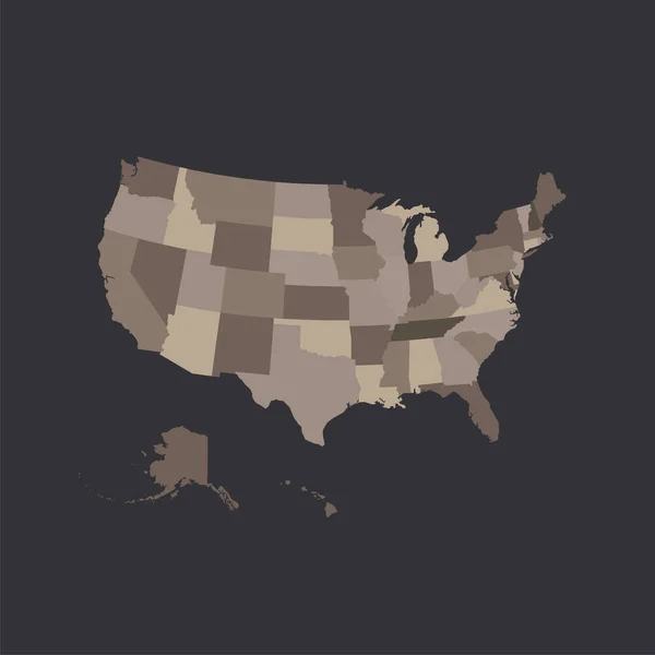
South, U.S. Census Region, Colored Political Map. Census Region 3 Of United States, Consisting Of 16 Single States And District Of Columbia. Colored Silhouettes Of States With Borders And Capitals.

Vector, 2.46MB, 8955 × 6000 eps
Page 1 >> Next