
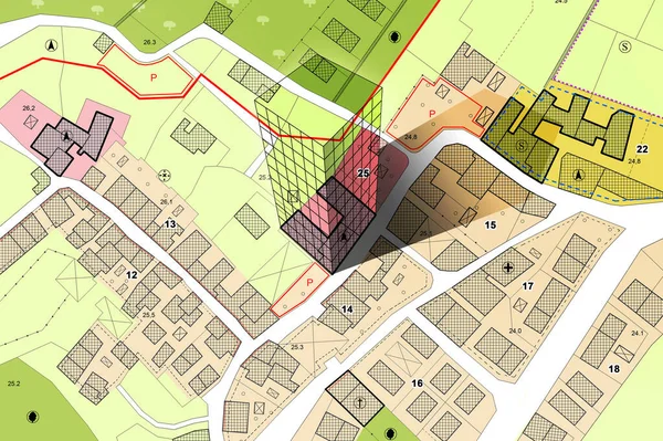
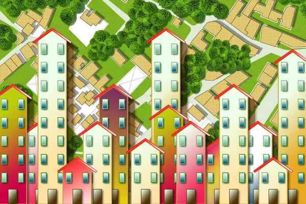
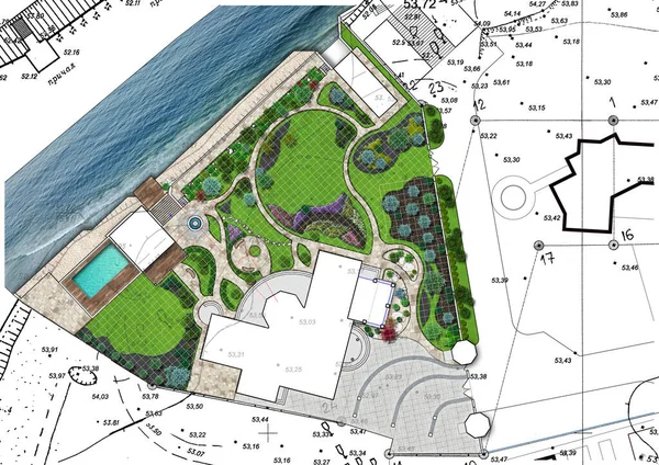
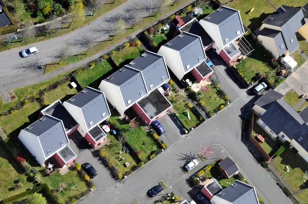
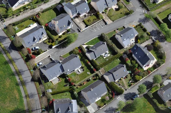
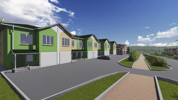
Stock image Subdivision Plan

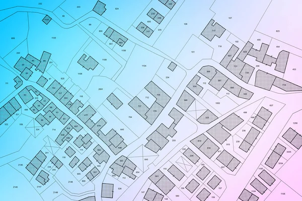
Imaginary Cadastral Map Of Territory With Buildings, Roads And Land Parcel - Land Registry Concept
Image, 25.03MB, 7750 × 5167 jpg
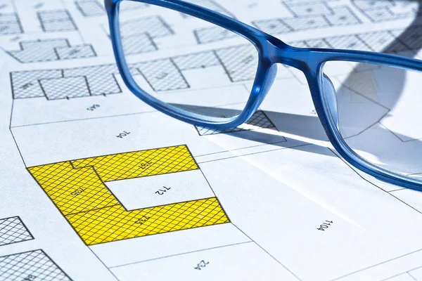
Imaginary Cadastral Map With Buildings, Land Parcel And Vacant Plot - Land And Property Registry And Real Estate Property Concept Illustration
Image, 14.58MB, 5760 × 3840 jpg
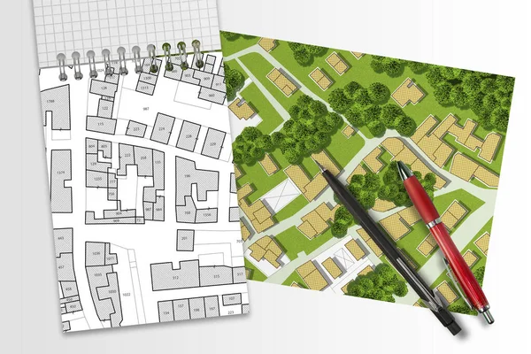
Imaginary Cadastral Map Of Territory With Buildings, Roads, Land Parcel And Notepad With Copy Space
Image, 18.56MB, 8160 × 4080 jpg
Imaginary Cadastral Map With Buildings, Land Parcel And Vacant Plot - Land And Property Registry And Real Estate Property Concept Illustration
Image, 13.42MB, 5760 × 3840 jpg

Imaginary General Urban Plan Of Territory With Buildings, Roads And Land Parcel - Concept With A Small House - Note: The Map Is Totally Invented And Does Not Represent Any Real Place
Image, 6.56MB, 4752 × 3168 jpg
Imaginary Cadastral Map Of Territory With Buildings, Roads And Land Parcel - Land Registry Concept Illustration - Note: The Map Background Is Totally Invented And Does Not Represent Any Real Place.
Image, 7.79MB, 5284 × 3520 jpg
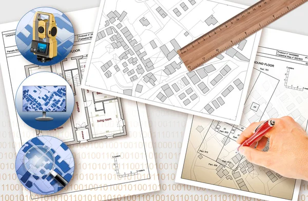
Updating Public Cadastral Digital Databases And Information About Land Registry - Concept Image With An Imaginary Cadastral Map Of Territory With Buildings, Roads And Land Parcel - Note: The Map Background Is Totally Invented And Does Not Represent A
Image, 30.91MB, 11261 × 7372 jpg
Imaginary Cadastral Map With Buildings, Land Parcel And Vacant Plot - Land And Property Registry And Real Estate Property Concept Illustration
Image, 13.62MB, 5760 × 3840 jpg
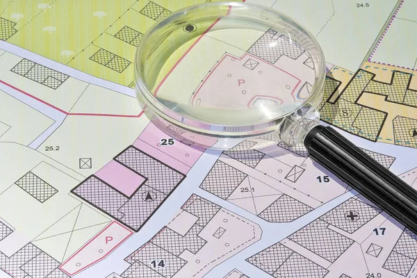
Imaginary Cadastral Map With Buildings, Land Parcel And Vacant Plot - Property Registry And Real Estate Concept Seen Through A Magnifying Glass
Image, 11.26MB, 5604 × 3736 jpg

Updating Public Cadastral Digital Databases And Information About Land Registry - Concept Image With An Imaginary Cadastral Map Of Territory With Buildings, Roads And Land Parcel - Note: The Map Background Is Totally Invented And Does Not Represent A
Image, 9.47MB, 9517 × 3172 jpg

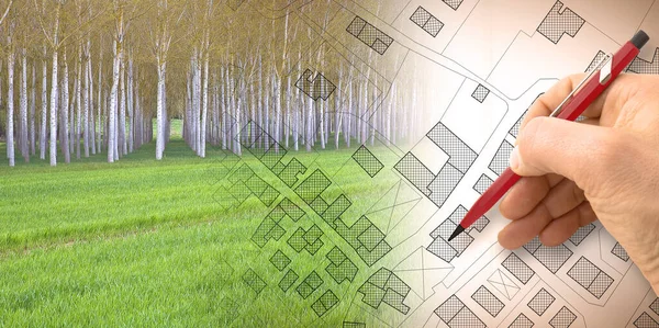
Imaginary Topographic Cadastral Map And Land Parcels Of Territory With Trees On Background And Buildable Vacant Land For Sale - Concept Image.
Image, 26.42MB, 6349 × 3168 jpg
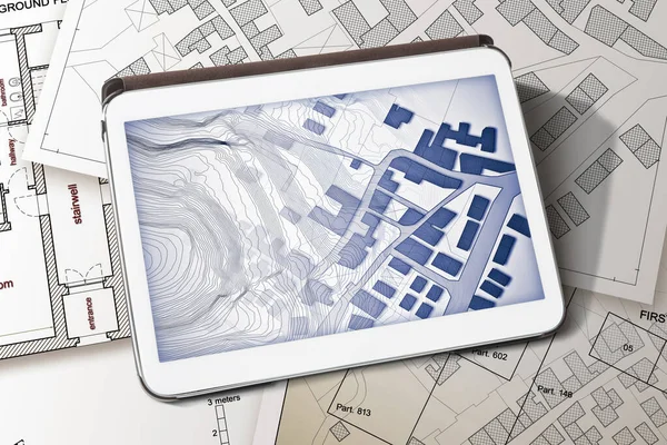
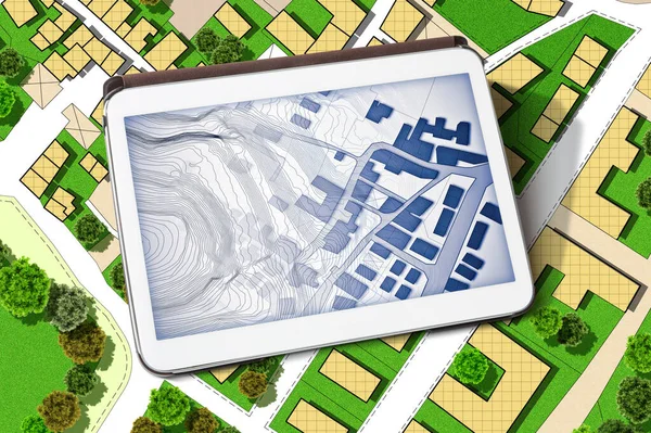
Imaginary Cadastral Map Of Territory With Buildings And Land Parcel - Concept Image With A Digital Tablet - Note: The Map Background Is Totally Invented And Does Not Represent Any Real Place.
Image, 11.99MB, 5760 × 3840 jpg
Imaginary Topographic Cadastral Map And Land Parcels Of Territory With Trees On Background And Buildable Vacant Land For Sale - Concept Image.
Image, 18.53MB, 6349 × 3168 jpg
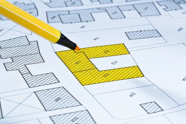
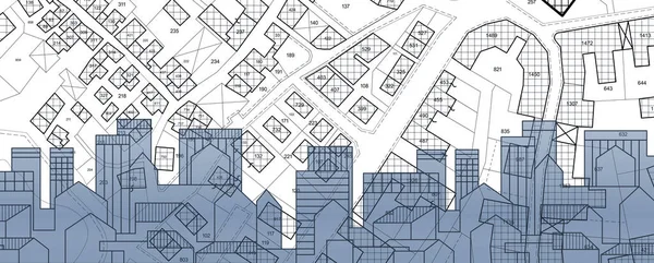
Imaginary Cadastral Map Of Territory With Buildings, Roads And Land Parcel - Land Registry Concept
Image, 23.19MB, 5760 × 3840 jpg
Imaginary Cadastral Map Of Territory With Building In The Center - Land Registry Concept Illustration - Note: The Map Background Is Totally Invented And Does Not Represent Any Real Place.
Image, 8.49MB, 5284 × 3520 jpg
Imaginary Cadastral Map Of Territory With Building In The Center - Land Registry Concept Illustration - Note: The Map Background Is Totally Invented And Does Not Represent Any Real Place.
Image, 8.75MB, 5284 × 3520 jpg
Imaginary Cadastral Map Of Territory With Buildings, Land Parcel And Green Areas With Trees - Concept With A Digital Tablet
Image, 22.13MB, 6042 × 4023 jpg

Hand Drawing An Imaginary Cadastral Map Of Territory With Buildings And Land Parcel - Concept With Smarphone.
Image, 7.91MB, 4752 × 3168 jpg

Handshake Against An Imaginary Cadastral Map Of Territory With Buildings And Land Parcel - Real Estate And Building Activity Agreements, Cooperation, Partnership And Business
Image, 6.47MB, 4632 × 3088 jpg

Imaginary Cadastral Map Of Territory With Buildings, Roads And Land Parcel - Land Registry Concept With Calculator And Magnifying Glass
Image, 13.31MB, 5286 × 3526 jpg
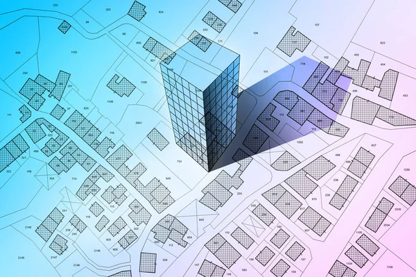
Real Estate Concept With Cityscape, Residential Building Over An Imaginary Cadastral Map Of Territory With Buildings And Land Parcel - Land Registry Concept
Image, 8.59MB, 7872 × 3168 jpg
Real Estate Concept With An Imaginary Cadastral Map Of Territory With Buildings And Land
Image, 21.75MB, 7872 × 3168 jpg
Real Estate Concept With An Imaginary Cadastral Map Of Territory With Buildings, Roads And Land Parcel - Land Registry Concept Illustration - Note: The Map Background Is Totally Invented And Does Not Represent Any Real Place
Image, 12.19MB, 4752 × 3168 jpg

Costs Of Building Plot - Real Estate Concept With A Vacant Land Available For Building Construction And Housing Subdivision In A Residential Area For Sale And Calculator With Text
Image, 16.27MB, 6336 × 3168 jpg
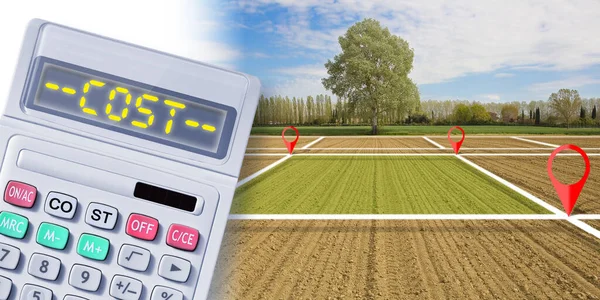
Costs Of Building Plot - Real Estate Concept With A Vacant Land Available For Building Construction And Housing Subdivision In A Residential Area For Sale And Calculator With Text
Image, 16.27MB, 6336 × 3168 jpg
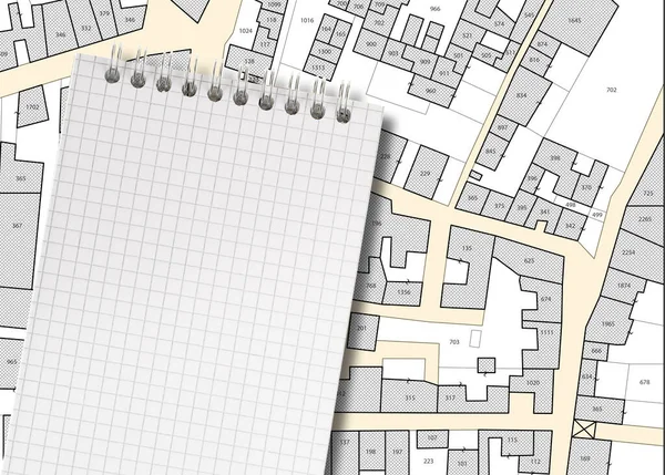
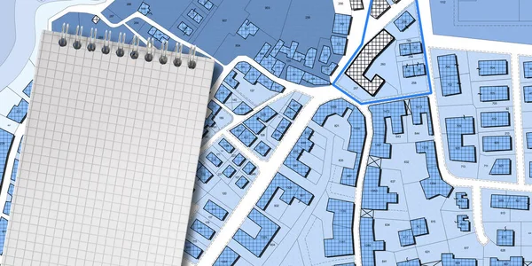
Imaginary Cadastral Map Of Territory With Buildings, Roads, Land Parcel And Notepad With Copy Space
Image, 9.96MB, 5700 × 4080 jpg

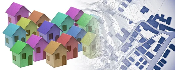
Real Estate Property Concept With Cardboard House And Imaginary Cadastral Map, General Urban Plan With Buildings, Land Parcel And Indications Of Urban Destinations
Image, 11.29MB, 5760 × 3840 jpg

PROPERTY VALUE OF A BUILDING - Concept With An Imaginary Cadastral Map An 3D Rendering Of A Digital Tablet Wito A Cityscape - Note: The Map Background Is Totally Invented And Does Not Represent Any Real Place.
Image, 7.29MB, 6336 × 3168 jpg

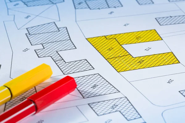
Imaginary Cadastral Map Of Territory With Buildings, Roads And Land Parcel - Land Registry Concept
Image, 8.63MB, 5760 × 3840 jpg


Business People Working In Office Overlay With Branch In The Business Basics Topic.
Image, 4.07MB, 5472 × 3648 jpg


Complete Garden Landscaping Isolated Over White Background, 3d Illustration
Image, 12.4MB, 4962 × 3508 jpg

Wooden Fenced Backyard Of New Development Two Story Houses In Upscale HOA Residential Neighborhood Flowery Branch, Suburbs Atlanta, Georgia, USA. Aerial View Front Garage Shingle Roofs Homes
Image, 5.6MB, 4000 × 2250 jpg
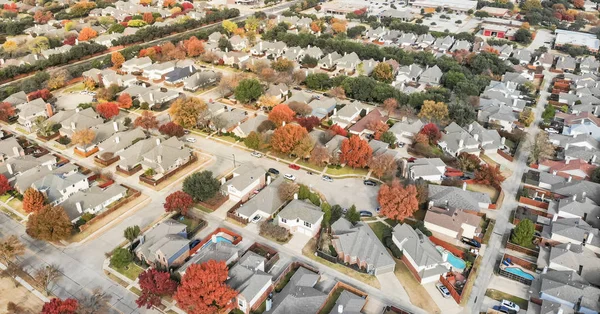
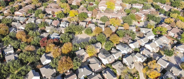
Panorama Aerial View Of Valley Ranch Planned Unit Development In The Dallas, Texas Suburb Of Irving, Texas, USA. Colorful Fall Foliage Leaves Near Row Of Single-family Homes, Urban Sprawl Subdivision
Image, 6.93MB, 4056 × 2128 jpg

Page 1 >> Next