Home
Images
Vectors
Videos
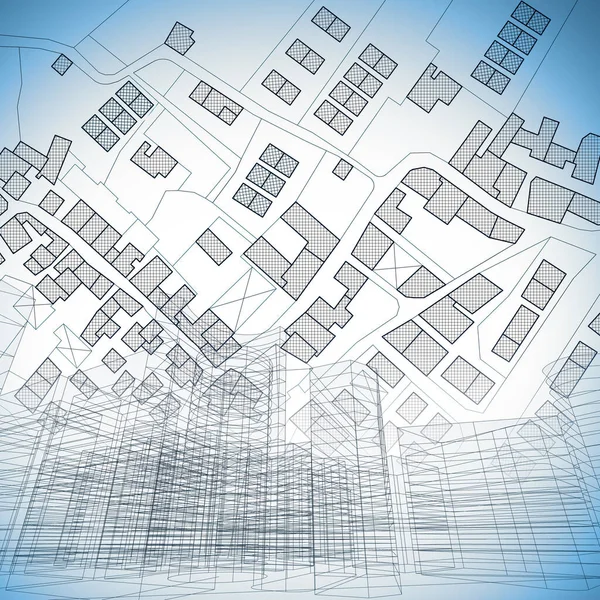
Stock image Imaginary cadastral map of territory with building in the center - land registry concept illustration - Note: the map background is totally invented and does not represent any real place.
Published:
Jun.07, 2021 06:41:02
Author:
Francescoscatena
Views:
46
Downloads:
14
File type:
image
/
jpg
File size:
8.75 MB
Orginal size:
5284
x
3520
px
Available sizes:
S
(500 x 333)
M
(1000 x 666)
L
(2000 x 1332)
XL
(5284 x 3520)
EL0
(5284 x 3520)
Level:
bronze
Download Image
Image topics:
Concepts
Concept
Building
City
Planning
Information
Project
Engineering
Map
Cartography
Plan
Land
Apartment
Housing
Designer
Engineer
Quarter
Planner
Blueprint
Survey
Territory
Classification
Town Planning
Mapping
Accomodation
Cartographer
Urbanism
Topographic
Cadastre
Civil Engineering
Construction Industry
City Planning
Urban Planning
Topographic Map
Residential Development
Cadastral
Land Registry
Registration Form
Buildable
Building Activity
Cadastral Parcel
Cadastral Map
Cadastral Survey
Zoning Plan
Land Registration
Subdivision Plan
Taxuation
Zoning District
Similar stock images
Circuit Board. Electronic Computer Components Motherboard.
5000 × 3333
Imaginary Cadastral Map Of Territory With Buildings, Roads And Urban Skyline - Concept Illustration
5000 × 5000
Neighborhoods Of Manhattan And Brooklyn New York City
7680 × 4320
Cityscape And Residential Building Over An Imaginary City Map Of Territory With Buildings And Roads - 3D Rendering.
4096 × 6589
Modern City Panorama 3d Illustration
5001 × 2246
Techno Mega City; Urban And Futuristic Technology Concepts, Original 3d Rendering
4500 × 3000
Techno Mega City; Urban And Futuristic Technology Concepts, Original 3d Rendering
4500 × 3000