
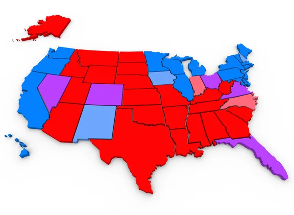
Stock image Swing State

U.S. Presidential Election 2024: Democrat Donkey And Republican Elephant Illustrate Party Rivalry
Image, 18.02MB, 6048 × 4024 jpg

Republican Red Elephant Illustrate Party Rivalry In U.S. Presidential Election 2024
Image, 15.53MB, 6048 × 4024 jpg

US Presidential Race. The Names Of Kamala Harris And Donald Trump On The Roadside Sign On The Background Of The American Flag And A Stormy Sky
Image, 3.89MB, 4455 × 2989 jpg
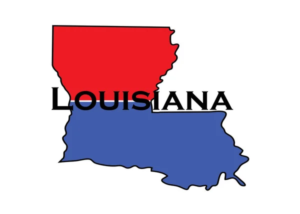
Politically Split State Of Louisiana With Half Red And Blue. High Quality Photo
Image, 0.7MB, 6480 × 4632 jpg
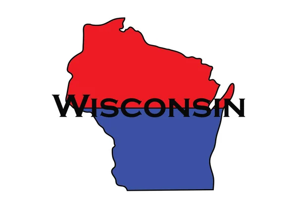
Politically Split State Of Wisconsin With Half Red And Blue. High Quality Photo
Image, 0.71MB, 6480 × 4632 jpg

November 6, 2020 - Phoenix, Arizona / USA: Trump Supporters Protest Outside Of The Maricopa County Tabulation And Election Center (MCTEC) In Downtown Phoenix, Arizona, To Voice Concerns Over Every Vote Being Counted On November 6, 2020.
Image, 13.13MB, 6000 × 4000 jpg

November 6, 2020 - Phoenix, Arizona / USA: Trump Supporters Protest Outside Of The Maricopa County Tabulation And Election Center (MCTEC) In Downtown Phoenix, Arizona, To Voice Concerns Over Every Vote Being Counted On November 6, 2020.
Image, 13.72MB, 6000 × 4000 jpg

Politically Liberal Blue State Of Missouri With A Map Outline. High Quality Illustration
Image, 0.57MB, 6480 × 4632 jpg
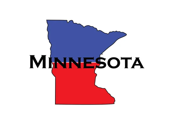
Politically Split State Of Minnesota With Half Red And Blue. High Quality Photo
Image, 0.59MB, 6480 × 4632 jpg

Politically Split State Of Iowa With Half Red And Blue. High Quality Photo
Image, 0.53MB, 6480 × 4632 jpg

November 6, 2020 - Phoenix, Arizona / USA: Trump Supporters Protest Outside Of The Maricopa County Tabulation And Election Center (MCTEC) In Downtown Phoenix, Arizona, To Voice Concerns Over Every Vote Being Counted On November 6, 2020.
Image, 14.13MB, 6000 × 4000 jpg

Red Elephant And Blue Donkey Locked In Rivalry For U.S. Presidential Election 2024 Between Republicans And Democrats
Image, 15.04MB, 6048 × 4024 jpg

Arizona, U.S. State, Subdivided Into 15 Counties, Multi Colored Political Map With Capital Phoenix, Borders And County Names. State In The Southwestern Region Of The USA, Nicknamed Grand Canyon State
Vector, 2.33MB, 6000 × 6909 eps

Virginia, U.S. State Subdivided Into 95 Counties And 38 Independent Cities, Gray Political Map. Commonwealth Of Virginia, A State In The Southeastern And Mid-Atlantic Regions Of The United States.
Vector, 2.47MB, 9000 × 4223 eps

Georgia, U.S. State, Subdivided Into 159 Counties, Multi Colored Political Map With Capital Atlanta, Borders And County Names. State In The Southeastern Region Of The United States. The Peach State.
Vector, 3.23MB, 6000 × 6909 eps

Nevada, U.S. State, Multi Colored Political Map With Borders And County Names. State In The Western Region Of The USA, Subdivided Into 16 Counties And The Independent City And Capital Carson City.
Vector, 2.37MB, 6000 × 8605 eps

Indiana Counties, Gray Political Map. State In The Midwestern Region Of The United States, Subdivided Into 92 Counties. Nicknamed The Hoosier State. Map With Borders And County Names. Illustration
Vector, 2.01MB, 6000 × 8826 eps

Virginia, U.S. State, Subdivided Into 95 Counties And 38 Independent Cities, Colored Political Map With Capital Richmond, And County Names. State In The Southeastern And Mid-Atlantic Regions Of USA.
Vector, 2.48MB, 9000 × 4223 eps

U.S. Presidential Election 2024: Political Rivalry Between Blue Donkey And Red Elephant Symbolizes Democrats Vs Republicans
Image, 14.71MB, 6048 × 4024 jpg

Indiana Counties, Political Map. State In The Midwestern Region Of The United States, Subdivided Into 92 Counties. Nicknamed The Hoosier State. Map With Borders And County Names. Illustration
Vector, 2.42MB, 6000 × 9000 eps

Minnesota, U.S. State, Subdivided Into 87 Counties, Multi Colored Political Map With Capital St. Paul, Borders And County Names. State In The Upper Midwestern Region Of The USA. North Star State.
Vector, 2.61MB, 6000 × 6781 eps

Pennsylvania, U.S. State, Subdivided Into 67 Counties, Multi Colored Political Map With Capital Harrisburg, And Borders. State Of The Mid-Atlantic And Northeastern USA, With Nickname Keystone State.
Vector, 1.99MB, 9000 × 5625 eps

New York, U.S. State, Subdivided Into 62 Counties, Multi Colored Political Map With Capital Albany, Borders And County Names. State In The New England Region Of The United States. The Empire State.
Vector, 2.61MB, 7671 × 6000 eps

Republican Elephant Illustrate Party Rivalry In U.S. Presidential Election 2024
Image, 18.08MB, 6048 × 4024 jpg

North Carolina Counties, Political Map With Borders County Names. State In The Southeastern Region Of United States, Subdivided Into 100 Counties. Nicknamed The Tar Heel State And The Old North State.
Vector, 3.6MB, 9000 × 5155 eps

Virginia Counties And Cities, Political Map. Commonwealth Of Virginia, A State In The Southeastern And Mid-Atlantic Regions Of The United States, Subdivided Into 95 Counties And 38 Independent Cities.
Vector, 4.08MB, 9000 × 4790 eps

Texas, U.S. State, Gray Political Map With Borders And County Names. State In The South Central Region Of The United States, Subdivided Into 254 Counties. Nicknamed The Lone Star State. Illustration
Vector, 4.35MB, 6000 × 6000 eps

North Carolina, U.S. State, Subdivided Into 100 Counties, Multi Colored Political Map With Capital Raleigh, Borders And County Names. State In The Southeastern Region Of United States. Tar Heel State.
Vector, 2.29MB, 9000 × 3935 eps

Red Elephant And Blue Donkey Locked In Rivalry For U.S. Presidential Election 2024 Between Republicans And Democrats
Image, 13.32MB, 5580 × 3713 jpg

Red Republican Elephant And Blue Democrat Donkey Represent Rivalry In U.S. Presidential Election 2024
Image, 15.72MB, 6048 × 4024 jpg

Florida, U.S. State, Multi Colored Political Map With Borders, County Names And Its Capital Tallahassee. Florida, A State In The Southeastern Region Of The United States, Subdivided Into 67 Counties.
Vector, 3.22MB, 6316 × 6000 eps

Michigan, U.S. State, Multi Colored Political Map With Borders, County Names And Capital Lansing. State In The Great Lakes Region Of The Upper Midwest Of The United States, Subdivided Into 83 Counties.
Vector, 2.67MB, 6000 × 6772 eps

Democrat Blue Donkey Rivalry Of Republicans And Democrats In 2024 U.S. Presidential Election
Image, 15.42MB, 6048 × 4024 jpg

Georgia Counties, Gray Political Map. State In The Southeastern Region Of The United States, Subdivided Into 159 Counties. Nicknamed Peach State, And Empire State Of The South. Map With County Names.
Vector, 3.21MB, 6000 × 6909 eps

Rivalry In Red And Blue, Republican Elephant Vs Democrat Donkey In U.S. 2024 Presidential Election Showdown
Image, 14.31MB, 5761 × 3833 jpg

Indiana, U.S. State, Subdivided Into 92 Counties, Multi Colored Political Map With Capital Indianapolis, Borders And County Names. State In The Midwestern Region Of United States. The Hoosier State.
Vector, 2.03MB, 6000 × 8826 eps

Arizona Counties, Gray Political Map. Landlocked State Nicknamed Grand Canyon State, In The Southwestern Region Of The United States, Subdivided Into 15 Counties. Map With Boundaries And County Names.
Vector, 2.32MB, 6000 × 6909 eps
Texas, U.S. State, Political Map With Borders And County Names. State In The South Central Region Of The United States, Subdivided Into 254 Counties. Nicknamed The Lone Star State. Illustration
Vector, 5.07MB, 6000 × 6000 eps

Georgia Counties, Political Map. State In The Southeastern Region Of The United States, Subdivided Into 159 Counties. Nicknamed Peach State, And Empire State Of The South. Map With County Names.
Vector, 3.91MB, 6000 × 6936 eps

Democrat Blue Donkey Rivalry Of Republicans And Democrats In 2024 U.S. Presidential Election
Image, 14.03MB, 5531 × 3680 jpg

Red Republican Elephant And Blue Democrat Donkey Represent Rivalry In U.S. Presidential Election 2024. Large Panorama Format For Web Page
Image, 17.24MB, 9291 × 3833 jpg

Wisconsin, U.S. State, Subdivided Into 72 Counties, Multi Colored Political Map With Capital Madison, Borders And County Names. State In The Great Lakes Region Of The Upper Midwest Of United States.
Vector, 2.84MB, 6000 × 6419 eps

Elephant Vs Donkey, Iconic Rivalry Between Democrats And Republicans For U.S. 2024 Presidential Election
Image, 15.11MB, 5884 × 3915 jpg

Minnesota Counties, Political Map. Minnesota, A State In The Upper Midwestern Region Of The United States, Is Subdivided Into 87 Counties. Map With Boundaries And County Names. Illustration. Vector
Vector, 3.17MB, 6000 × 6667 eps

New Hampshire, U.S. State, Subdivided Into 10 Counties, Multi Colored Political Map With Capital Concord, Borders And County Names. State In The New England Region Of Northeastern USA. Granite State.
Vector, 1.42MB, 5107 × 9000 eps

The Blue Donkey And Red Elephant Represent Democrats Vs Republicans In U.S. Presidential Election 2024. Papercut In Shape Of US Map
Image, 16.48MB, 6009 × 3998 jpg

Politically Split State Of Michigan With Half Red And Blue. High Quality Photo
Image, 0.65MB, 6480 × 4632 jpg

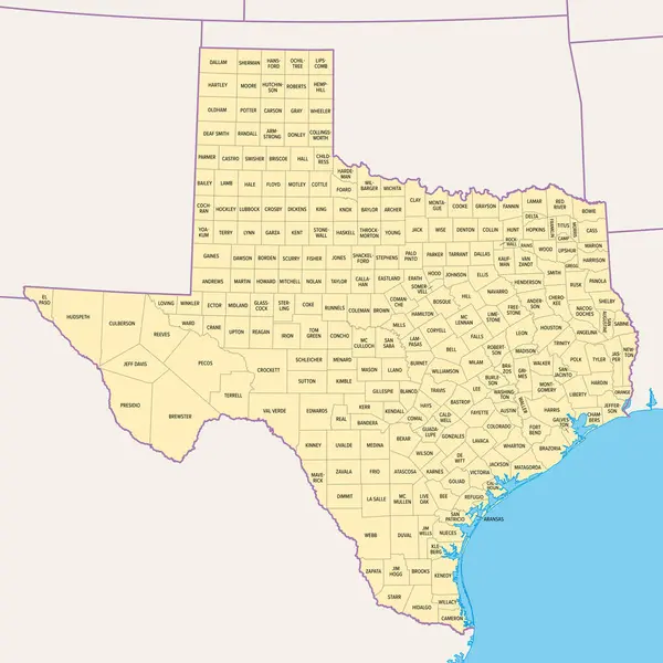
Texas, U.S. State, Multi Colored Political Map With Borders, County Names And Capital Austin. State In The South Central Region Of The United States, Subdivided Into 254 Counties. Lone Star State.
Vector, 4.37MB, 6000 × 6000 eps

North Carolina Counties, Gray Political Map With Borders And County Names. State In The Southeastern Region Of United States Subdivided Into 100 Counties. Nicknamed Tar Heel State And Old North State.
Vector, 2.28MB, 9000 × 3935 eps
Page 1 >> Next