
Stock image Union Territories
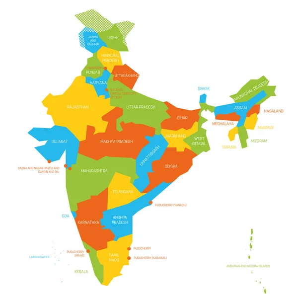


India New Map With States Name. India Map 2020. New States Division In India.
Vector, 6.05MB, 2446 × 3000 eps

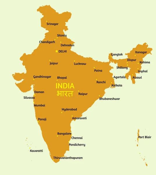
3D Map Of India. All New States Name In India With Different Colour. India Map 2020 .
Vector, 7MB, 2650 × 2999 eps
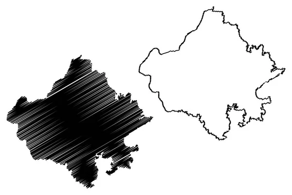
Rajasthan (States And Union Territories Of India, Federated States, Republic Of India) Map Vector Illustration, Scribble Sketch Rajasthan State Map
Vector, 0.69MB, 7087 × 4724 eps

Manipur (States And Union Territories Of India, Federated States, Republic Of India) Map Vector Illustration, Scribble Sketch Manipur State Map
Vector, 0.55MB, 7087 × 4724 eps
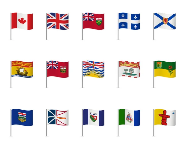
Canadian Flags On White Background. Vector Icon Set. Vector Illustration.
Vector, 19.59MB, 4983 × 4000 eps

Schengen Wooden Arrow Road Sign Against Lake And Forest Background. Schengen - European Border Control-free Travel Area
Image, 8.72MB, 6048 × 4024 jpg

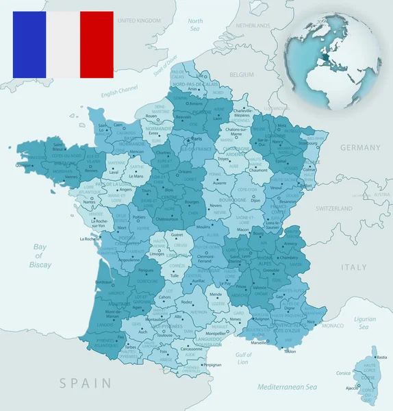
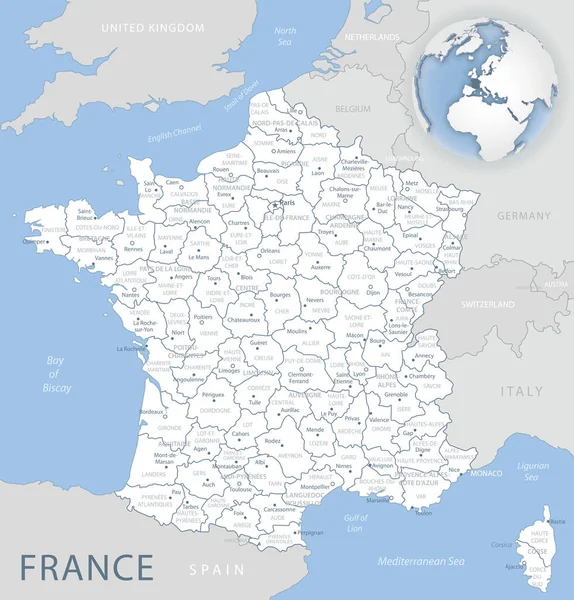
Blue-green Detailed Map Of France And Administrative Divisions With Country Flag And Location On The Globe.
Vector, 15.05MB, 5248 × 5480 eps
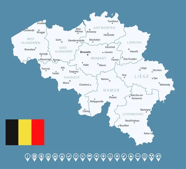
Belgium - Detailed Country Map With Cities And Regions. Infographic Icons. Vector Illustration
Vector, 0.75MB, 7825 × 7115 eps

France - Detailed Country Map With Cities And Regions. Infographic Icons. Vector Illustration
Vector, 1.8MB, 7395 × 7506 eps

Northwest Territories Region Location Within Canada 3d Isometric Map
Vector, 2.56MB, 4000 × 4000 eps
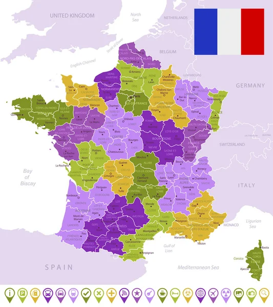
Detailed Map Of France With Flag, Border Of Regions And Country. Purple, Yellow, Green.
Vector, 2.1MB, 5248 × 5908 eps

Blue-gray Detailed Map Of France And Administrative Divisions And Location On The Globe.
Vector, 15.31MB, 5248 × 5480 eps

3D Red Neon Map Of Norway Map With Counties And Territories On Black Background
Image, 4.19MB, 8000 × 5334 jpg

Estonia - Detailed Country Map With Cities And Regions. Infographic Icons. Vector Illustration
Vector, 0.84MB, 8611 × 6269 eps

Estonia - Detailed Blue Country Map With Cities And Regions. Vector Illustration.
Vector, 0.78MB, 8611 × 5722 eps


Belgium - Detailed Blue Country Map With Cities And Regions. Vector Illustration.
Vector, 0.68MB, 7825 × 6704 eps


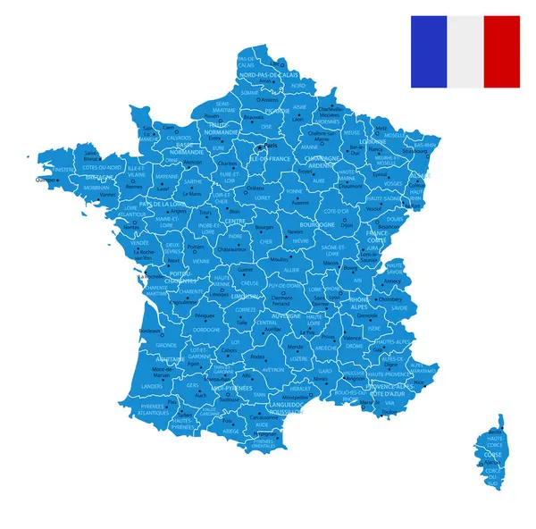
France - Detailed Map With Administrative Divisions And Country Flag. Vector Illustration
Vector, 2.04MB, 6025 × 6282 eps
France - Detailed Blue Country Map With Cities And Regions. Vector Illustration.
Vector, 1.75MB, 7395 × 7304 eps

France - Detailed Map With Administrative Divisions And Country Flag. Vector Illustration
Vector, 2.16MB, 6026 × 6284 eps

3D Red Neon Map Of Norway Map With Counties And Territories On White Background
Image, 4.14MB, 8000 × 5334 jpg
Page 1 >> Next