
Stock image Us South East
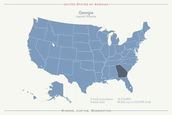
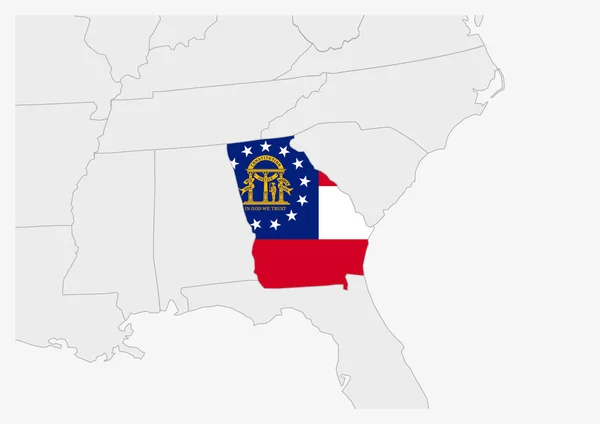
United States Of America Isolated Map And Georgia State Territory. Vector USA Political Map. Geographic Banner Design
Vector, 0.78MB, 6000 × 4000 eps

Charming Parklike Square (one Of Twenty Two Such Squares) In The Historic District Of Savannah, Georgia, USA
Image, 38.24MB, 6000 × 4000 jpg
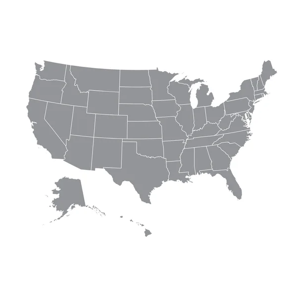
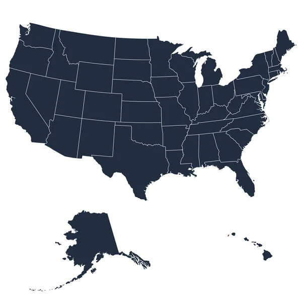
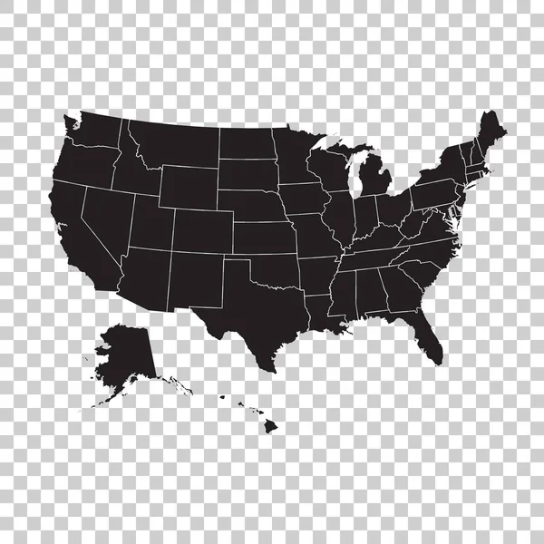
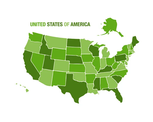
High Detailed USA Map With Federal States. Vector Illustration United States Of America.
Vector, 6.4MB, 7000 × 7000 eps


High Detailed USA Map With Federal States. Vector Illustration United States Of America On Blue Background.
Vector, 2.32MB, 7000 × 7000 eps
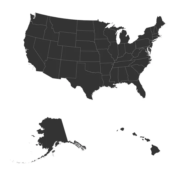
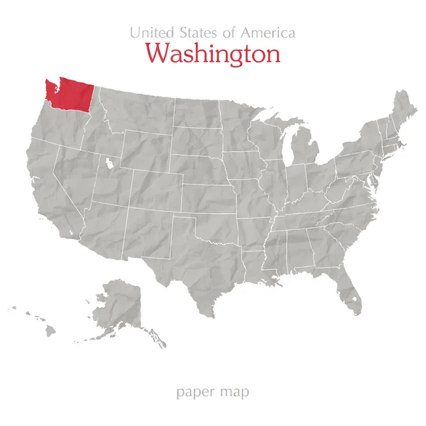
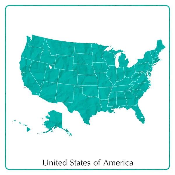
The Detailed Map Of The USA Including Alaska And Hawaii. The United States Of America
Vector, 0.68MB, 5000 × 5000 eps
The Detailed Map Of The USA Including Alaska And Hawaii. The United States Of America
Vector, 0.92MB, 5000 × 5000 eps
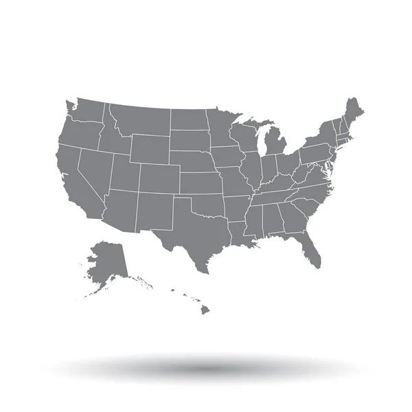
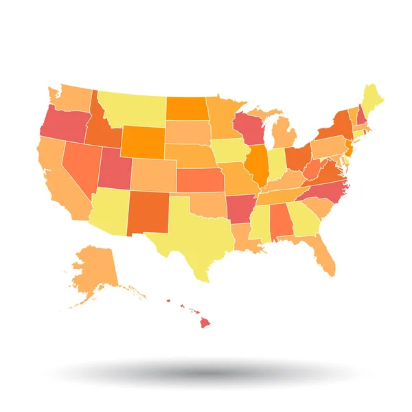
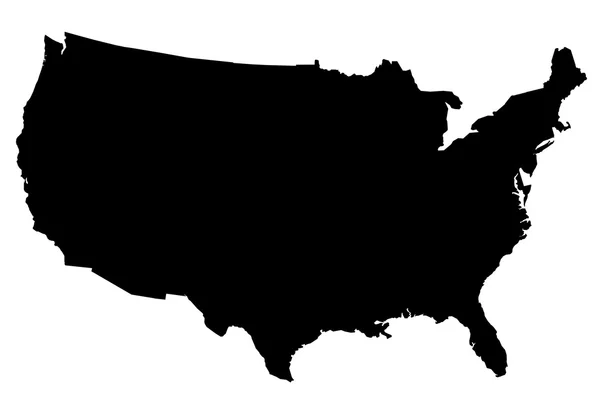
High Detailed USA Map With Federal States. Vector Illustration United States Of America On Isolated Background.
Vector, 1.77MB, 7000 × 7000 eps
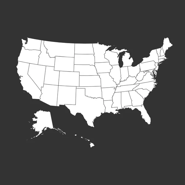
High Detailed USA Map With Federal States. Vector Illustration United States Of America On Black Background.
Vector, 6.4MB, 7000 × 7000 eps
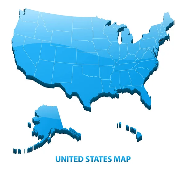
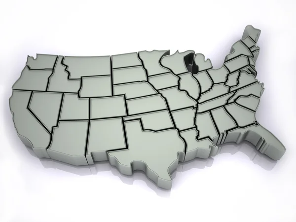
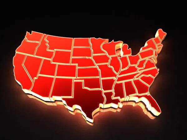
Highly Detailed Three Dimensional Map Of USA With Regions Border. United States Of America.
Vector, 4.83MB, 5500 × 5000 eps
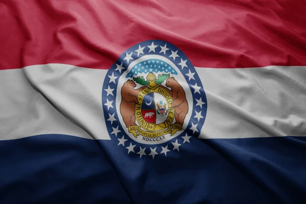
Waving Colorful Flag Of United States Of America And Flag Of Missouri State.
Image, 15.52MB, 5747 × 3835 jpg
High Detailed USA Map With Federal States. Vector Illustration United States Of America On Isolated Background.
Vector, 1.97MB, 7000 × 7000 eps
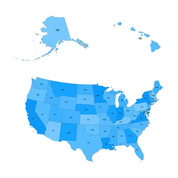
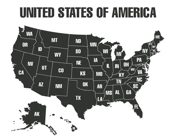
Detailed Map Of The United States, Including Alaska And Hawaii. United States With Each State Abbreviation
Vector, 1.64MB, 5000 × 5000 eps
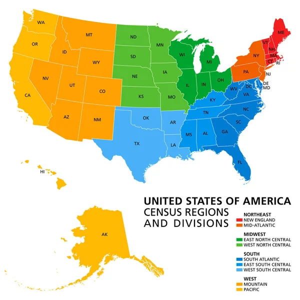
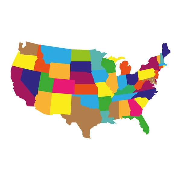
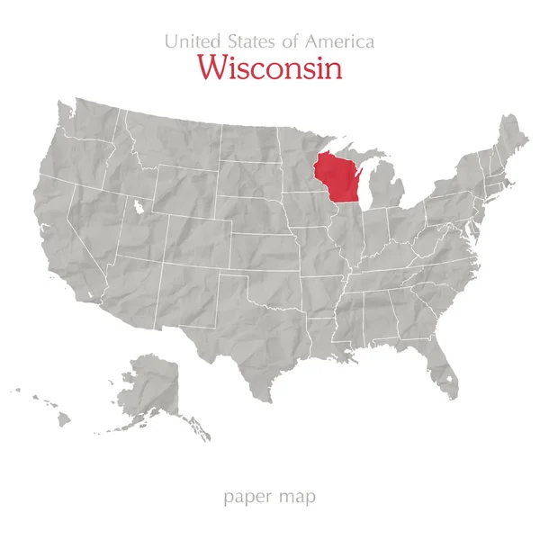
United States, Census Regions And Divisions, Political Map. Region Definition Widely Used For Data Collection And Analysis. The Most Commonly Used Classification System. English. Illustration. Vector.
Vector, 3.89MB, 6000 × 6000 eps
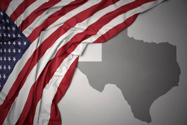
Waving Colorful National Flag Of United States Of America On A Gray Texas State Map Background.
Image, 9.04MB, 6558 × 4377 jpg


Waving Colorful Flag Of United States Of America And National Flag Of Mexico.
Image, 14.92MB, 5747 × 3835 jpg

High Detailed USA Map With Federal States. Vector Illustration United States Of America.
Vector, 1.78MB, 7000 × 7000 eps

Waving Colorful National Flag Of United States Of America On A Gray Massachusetts State Map Background.
Image, 9.05MB, 6558 × 4377 jpg

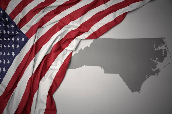
Waving Colorful National Flag Of United States Of America On A Gray North Carolina State Map Background.
Image, 7.78MB, 6558 × 4377 jpg
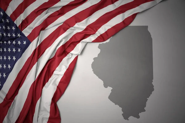
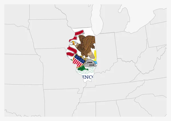
Waving Colorful National Flag Of United States Of America On A Gray Illinois State Map Background.
Image, 9.07MB, 6558 × 4377 jpg

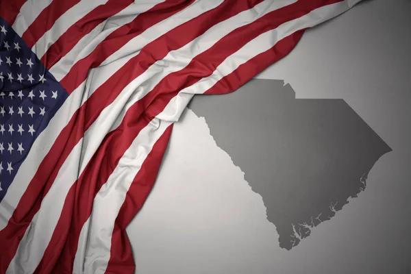
Waving Colorful National Flag Of United States Of America On A Gray South Carolina State Map Background.
Image, 9.04MB, 6558 × 4377 jpg


Waving Colorful National Flag Of United States Of America On A Gray Michigan State Map Background.
Image, 9.03MB, 6558 × 4377 jpg

Waving Colorful National Flag Of United States Of America On A Gray Nebraska State Map Background.
Image, 9.03MB, 6558 × 4377 jpg


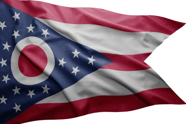
Waving Colorful National Flag Of United States Of America On A Gray Ohio State Map Background.
Image, 7.77MB, 6558 × 4377 jpg

United States Of America Isolated Map And Florida State Territory. Vector USA Political Map. Geographic Banner Design
Vector, 0.71MB, 6000 × 4000 eps

Waving Colorful National Flag Of United States Of America On A Gray Virginia State Map Background.
Image, 7.74MB, 6558 × 4377 jpg
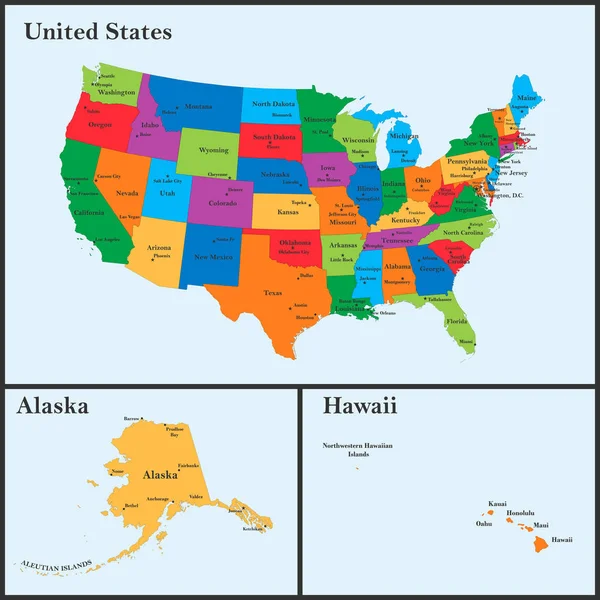
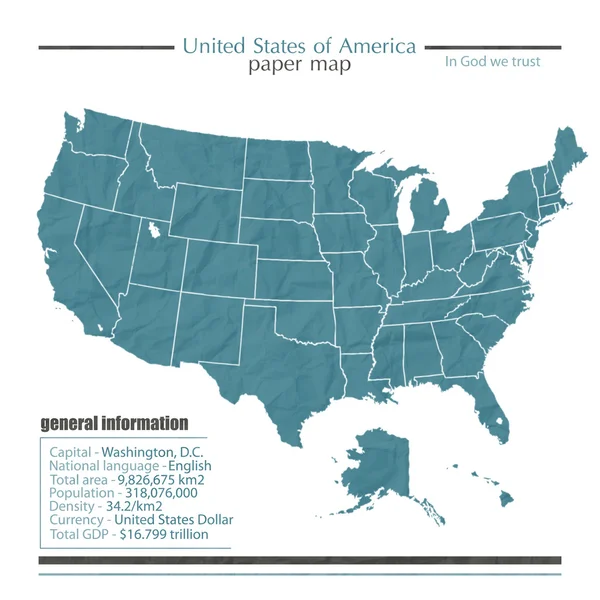
The Detailed Map Of The USA Including Alaska And Hawaii. The United States Of America With The Capitals And The Biggest Cities
Vector, 3.49MB, 5000 × 5000 eps

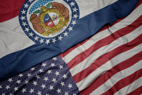
Waving Colorful National Flag Of United States Of America On A Gray Missouri State Map Background.
Image, 9.05MB, 6558 × 4377 jpg
Page 1 >> Next