photo free
Home Images Vectors Videos

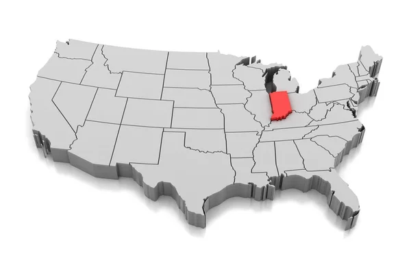
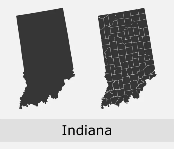
Stock image Us State Indiana Map

stock vector Two versions of the map of US State Indiana, with the flag of Indiana and highlighted in dark grey. Vector map.

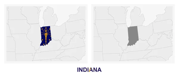
Two Versions Of The Map Of US State Indiana, With The Flag Of Indiana And Highlighted In Dark Grey. Vector Map.

Vector, 0.66MB, 8000 × 3388 eps
stock vector Indiana  communication network map of us state Indiana trendy geometric design on dark background

Indiana Communication Network Map Of Us State Indiana Trendy Geometric Design On Dark Background

Vector, 0.57MB, 4577 × 6579 eps
stock image State of Indiana map

State Of Indiana Map

Image, 0.84MB, 4300 × 2800 jpg
stock vector Map of Indiana

Map Of Indiana

Vector, 0.02MB, 4000 × 5000 eps
stock vector Indiana icon Network map of the us state Round Indiana sign with gradient ring Technology

Indiana Icon Network Map Of The Us State Round Indiana Sign With Gradient Ring Technology

Vector, 0.4MB, 5488 × 5488 eps
stock vector map of the U.S. state  Indiana

Map Of The U.S. State Indiana

Vector, 1.85MB, 5000 × 5000 eps
stock vector USA map with magnified Indiana State. Indiana flag and map.

USA Map With Magnified Indiana State. Indiana Flag And Map.

Vector, 1.9MB, 5000 × 3125 eps
stock vector Indiana Logo Map of Indiana with us state name and flag Elegant vector illustration

Indiana Logo Map Of Indiana With Us State Name And Flag Elegant Vector Illustration

Vector, 0.23MB, 4904 × 6146 eps
stock vector Indiana map on road sign. Wide poster with Indiana us state map on yellow rhomb road sign. Vector illustration.

Indiana Map On Road Sign. Wide Poster With Indiana Us State Map On Yellow Rhomb Road Sign. Vector Illustration.

Vector, 0.28MB, 6930 × 3465 eps
stock vector 19 of 50 sets, US State Posters with name and Information in 3 Design Styles, Detailed vector art print Indiana map

19 Of 50 Sets, US State Posters With Name And Information In 3 Design Styles, Detailed Vector Art Print Indiana Map

Vector, 1.83MB, 8896 × 4168 eps
stock vector Indiana counties vector map with USA map colors national flag

Indiana Counties Vector Map With USA Map Colors National Flag

Vector, 22.48MB, 4680 × 4024 eps
stock vector Indiana State silhouette map

Indiana State Silhouette Map

Vector, 8.07MB, 3504 × 5004 eps
stock vector Colorful USA map

Colorful USA Map

Vector, 5.42MB, 7474 × 5384 eps
stock vector Coronavirus cell with US State Indiana flag and map. Stop COVID-19 sign, slogan save lives stay home with flag of Indiana on abstract medical bacteria background.

Coronavirus Cell With US State Indiana Flag And Map. Stop COVID-19 Sign, Slogan Save Lives Stay Home With Flag Of Indiana On Abstract Medical Bacteria Background.

Vector, 2.36MB, 6000 × 3800 eps
stock vector Map of Indiana

Map Of Indiana

Vector, 0.02MB, 4000 × 5000 eps
stock vector Retro US State illustrations Indiana, Ohio, Michigan

Retro US State Illustrations Indiana, Ohio, Michigan

Vector, 3.16MB, 6600 × 6600 eps
stock vector vector map of United States with indication of Indiana

Vector Map Of United States With Indication Of Indiana

Vector, 1.73MB, 4600 × 3450 eps
stock vector Map United State

Map United State

Vector, 0.48MB, 5000 × 5000 eps
stock vector Set of US states

Set Of US States

Vector, 3.27MB, 5000 × 5000 eps
stock vector Streets of Indianapolis, city map, capital city, Indiana. Streets and urban area. Usa. The city is the capital and most populous city of the U.S. state of Indiana and the seat of Marion County

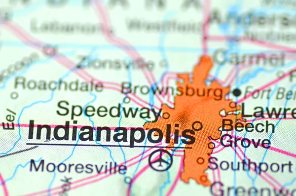
Streets Of Indianapolis, City Map, Capital City, Indiana. Streets And Urban Area. Usa. The City Is The Capital And Most Populous City Of The U.S. State Of Indiana And The Seat Of Marion County

Vector, 4.7MB, 6659 × 4992 eps
stock image Map of Indiana - USA

Map Of Indiana - USA

Image, 9.21MB, 8000 × 9000 jpg
stock vector Detailed USA Map

Detailed USA Map

Vector, 0.43MB, 5000 × 5000 eps
stock image Map of Indiana state, USA

Map Of Indiana State, USA

Image, 2.44MB, 4500 × 2903 jpg
stock image Map of Indiana state, USA

Map Of Indiana State, USA

Image, 2.44MB, 4500 × 2903 jpg
stock vector Map of The United States of America (USA) State of Indiana - Illustration on White Background.

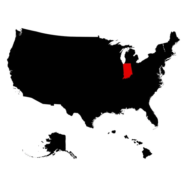
Map Of The United States Of America (USA) State Of Indiana - Illustration On White Background.

Vector, 0.98MB, 5835 × 5001 eps
stock vector Indiana map with capital city

Indiana Map With Capital City

Vector, 1.7MB, 2300 × 2300 eps
stock vector Outline maps of USA states collection, black lined vector map.

Outline Maps Of USA States Collection, Black Lined Vector Map.

Vector, 3.41MB, 5000 × 5000 eps
stock vector set of US states maps

Set Of US States Maps

Vector, 1.82MB, 5000 × 5000 eps
stock vector Indiana vector maps counties, townships, regions, municipalities, departments, borders

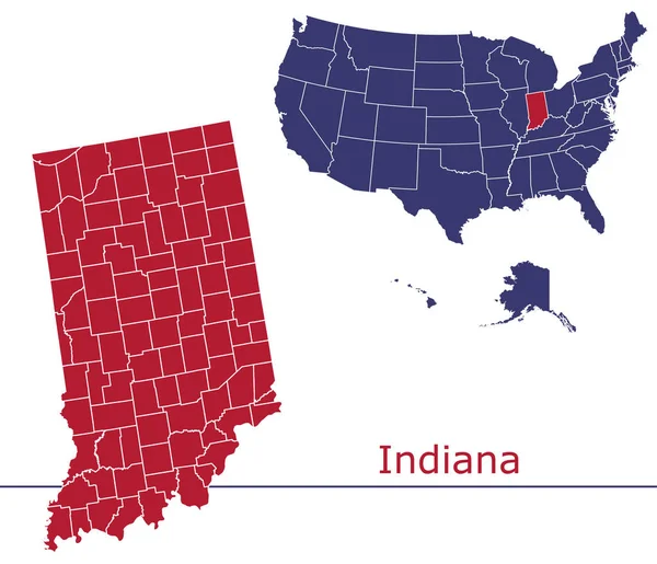
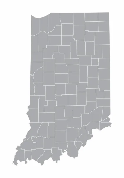
Indiana Vector Maps Counties, Townships, Regions, Municipalities, Departments, Borders

Vector, 5.3MB, 4690 × 4032 eps
stock vector Indiana State on USA Map. Indiana flag and map.

Indiana State On USA Map. Indiana Flag And Map.

Vector, 1.13MB, 5000 × 3663 eps
stock image Indiana

Indiana

Image, 1.31MB, 4300 × 2800 jpg
stock vector set of US states maps

Set Of US States Maps

Vector, 1.8MB, 5000 × 5000 eps
stock vector Indiana state map vector silhouette illustration. United States of America flag over Indiana map. USA, American national symbol of pride and patriotism. Vote election campaign banner.

Indiana State Map Vector Silhouette Illustration. United States Of America Flag Over Indiana Map. USA, American National Symbol Of Pride And Patriotism. Vote Election Campaign Banner.

Vector, 0.27MB, 4556 × 5630 eps
stock vector Vector Map of the U.S. state of Michigan

Vector Map Of The U.S. State Of Michigan

Vector, 0MB, 3996 × 4000 zip
stock vector Indiana, IN, political map, with the capital Indianapolis, and most important cities, rivers and lakes. State in the Midwestern region of the United States of America, nicknamed The Hoosier State.

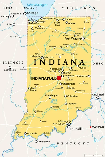
Indiana, IN, Political Map, With The Capital Indianapolis, And Most Important Cities, Rivers And Lakes. State In The Midwestern Region Of The United States Of America, Nicknamed The Hoosier State.

Vector, 3.4MB, 6000 × 9000 eps
stock vector Map of Indiana

Map Of Indiana

Vector, 8.14MB, 3504 × 5004 eps
stock vector Map of Indiana

Map Of Indiana

Vector, 0.07MB, 4000 × 5000 eps
stock vector Indiana black silhouette vector map. Editable high quality illustration of the American state of Indiana simple map

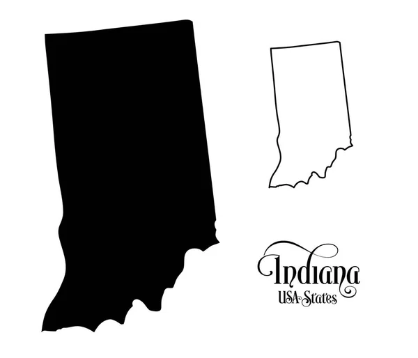
Indiana Black Silhouette Vector Map. Editable High Quality Illustration Of The American State Of Indiana Simple Map

Vector, 0.04MB, 3500 × 3500 eps
stock vector 19 of 50 states of the United States with a name, nickname, and

19 Of 50 States Of The United States With A Name, Nickname, And

Vector, 0.75MB, 7311 × 4112 eps
stock vector Indiana vector map.

Indiana Vector Map.

Vector, 1.68MB, 8333 × 8333 eps
stock image Indianapolis, indiana in the USA on the map

Indianapolis, Indiana In The USA On The Map

Image, 5.02MB, 4928 × 3264 jpg
stock vector Abstract multicolor vector set of political North America map with countries and capital name,border.Detailed modern illustration use for presentation,report,t-shirt,poster,geographical templates.Simplified isolated administrative hand drawn map.

Abstract Multicolor Vector Set Of Political North America Map With Countries And Capital Name,border.Detailed Modern Illustration Use For Presentation,report,t-shirt,poster,geographical Templates.Simplified Isolated Administrative Hand Drawn Map.

Vector, 15.63MB, 11591 × 8006 eps
stock vector Symbol Map of the State Indiana (United States of America) showing the contour of the state buffered inside in rainbow colors

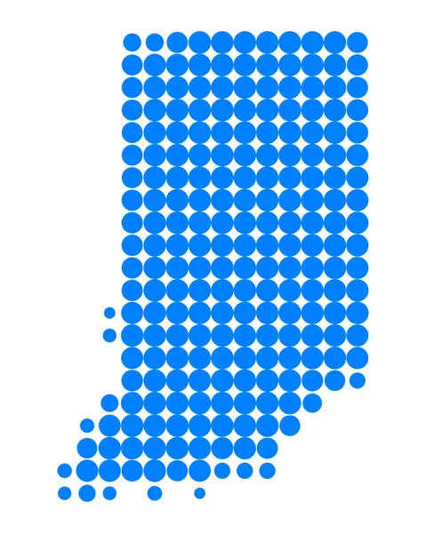
Symbol Map Of The State Indiana (United States Of America) Showing The Contour Of The State Buffered Inside In Rainbow Colors

Vector, 0.68MB, 4019 × 6000 eps
stock image Map of Indiana County in Pennsylvania state on white background. single County map highlighted by black colour on Pennsylvania map. UNITED STATES, US

Map Of Indiana County In Pennsylvania State On White Background. Single County Map Highlighted By Black Colour On Pennsylvania Map. UNITED STATES, US

Image, 4.22MB, 8000 × 5334 jpg
stock image An Indiana State Flag Map Illustration with clipping path

An Indiana State Flag Map Illustration With Clipping Path

Image, 4.06MB, 7000 × 7000 jpg
stock vector Vector illustrations of all fifty states of the united states of america with the names of each state written below

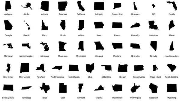
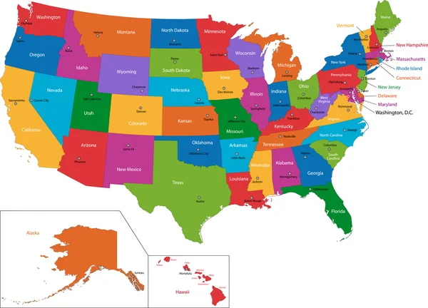
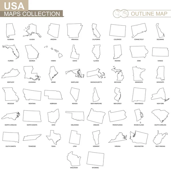
Vector Illustrations Of All Fifty States Of The United States Of America With The Names Of Each State Written Below

Vector, 4.85MB, 2844 × 1600 eps
stock vector Indiana is magnified over a World Map, illustration with airplane, passport, boarding pass, compass and eyeglasses.

Indiana Is Magnified Over A World Map, Illustration With Airplane, Passport, Boarding Pass, Compass And Eyeglasses.

Vector, 5.1MB, 8000 × 4000 eps
stock vector Map with Dot Pattern on flag button of USA Indiana State

Map With Dot Pattern On Flag Button Of USA Indiana State

Vector, 2.2MB, 5526 × 5526 eps
stock vector Outline map of Indiana white background. USA state,  vector map with contour.

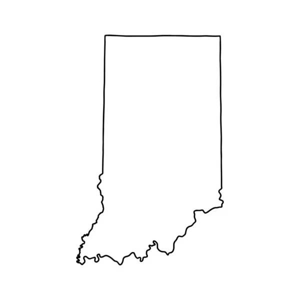
Outline Map Of Indiana White Background. USA State, Vector Map With Contour.

Vector, 5.42MB, 4000 × 4000 eps
stock vector Map of Indiana

Map Of Indiana

Vector, 0.02MB, 4000 × 5000 eps
Page 1 >> Next