photo free
Home Images Vectors Videos

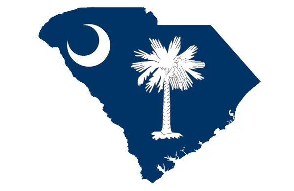
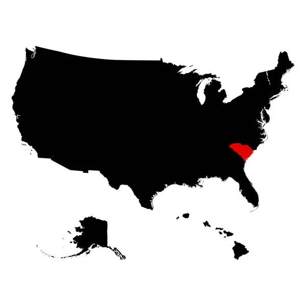
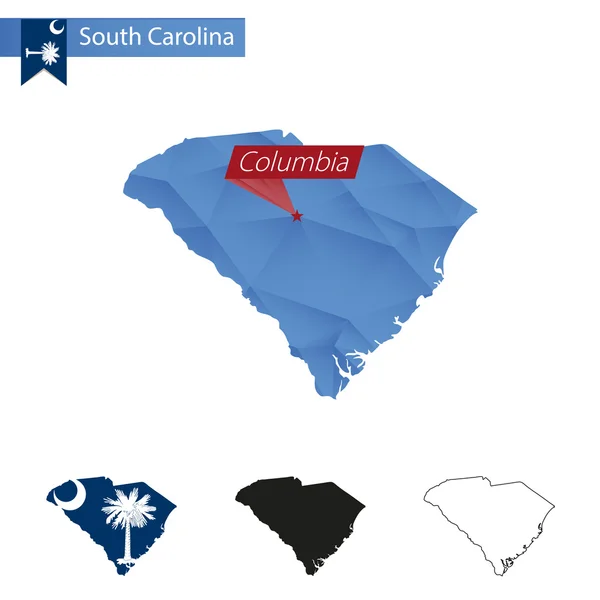
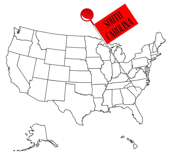
Stock image Us State South Carolina Map

stock vector US state South Carolina map highlighted in South Carolina flag colors

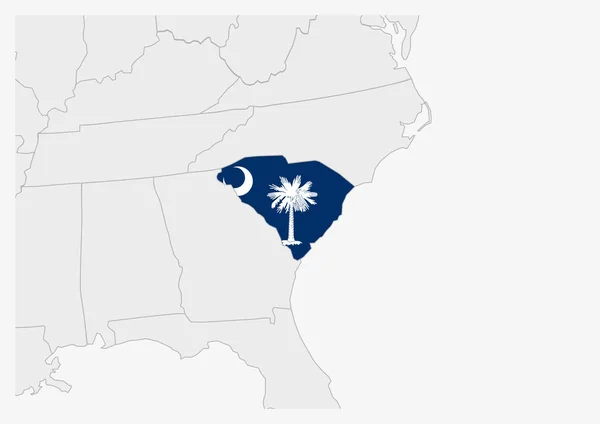
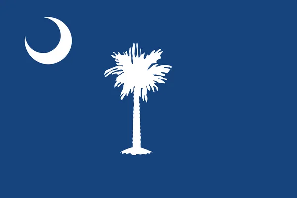
US State South Carolina Map Highlighted In South Carolina Flag Colors

Vector, 0.39MB, 7071 × 5000 eps
stock vector United States Vector Map

United States Vector Map

Vector, 0.49MB, 3300 × 2700 eps
stock image State of South Carolina map

State Of South Carolina Map

Image, 1.21MB, 4300 × 2800 jpg
stock vector Map of South Carolina

Map Of South Carolina

Vector, 0.01MB, 5000 × 4000 eps
stock vector map of the U.S. state  South Carolina

Map Of The U.S. State South Carolina

Vector, 1.84MB, 5000 × 5000 eps
stock vector South Carolina map Map of the us state with beautiful geometric waves in red blue colors Vivid

South Carolina Map Map Of The Us State With Beautiful Geometric Waves In Red Blue Colors Vivid

Vector, 0.37MB, 6159 × 4906 eps
stock vector Abstract square stamp or sign with silhouette and name of US state South Carolina, vector illustration

Abstract Square Stamp Or Sign With Silhouette And Name Of US State South Carolina, Vector Illustration

Vector, 0.41MB, 4724 × 4724 ai
stock vector Set of vector maps of South Carolina Vibrant waves design Bright map of us state in geometric

Set Of Vector Maps Of South Carolina Vibrant Waves Design Bright Map Of Us State In Geometric

Vector, 2.05MB, 5121 × 5889 eps
stock vector Flag of the American State of South Carolina

Flag Of The American State Of South Carolina

Vector, 0.94MB, 5417 × 3622 eps
stock vector Vector South Carolina Map silhouette. Isolated vector Illustration. Black on White background.

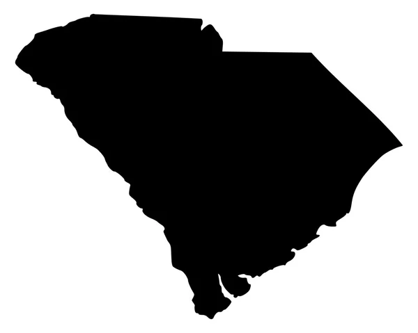
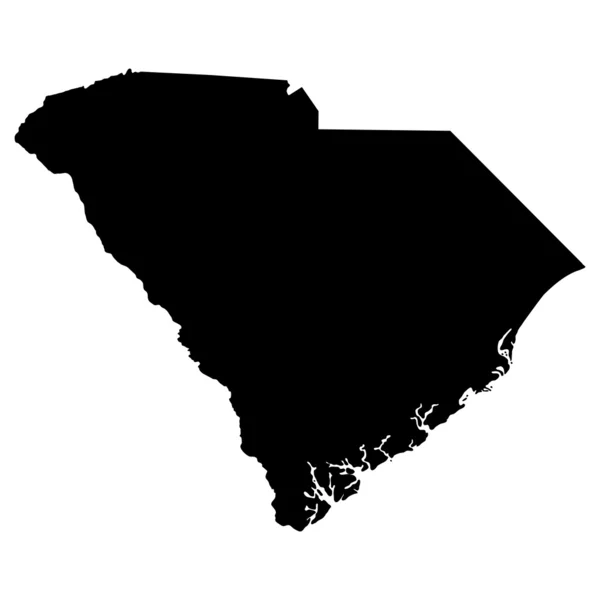
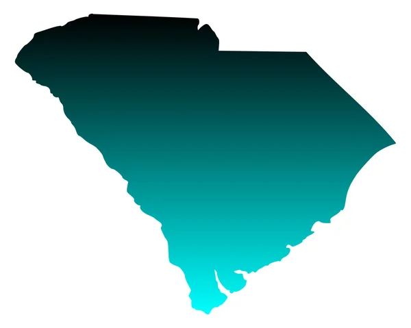
Vector South Carolina Map Silhouette. Isolated Vector Illustration. Black On White Background.

Vector, 2.41MB, 5786 × 4321 eps
stock vector south carolina

South Carolina

Vector, 2.79MB, 5000 × 4000 eps
stock vector Map of South Carolina

Map Of South Carolina

Vector, 0.01MB, 5000 × 4000 eps
stock vector north carolina

North Carolina

Vector, 2.8MB, 5000 × 4000 eps
stock vector Map of the United States

Map Of The United States

Vector, 1.03MB, 4900 × 3673 eps
stock vector South Carolina, SC, political map, with the capital Columbia, largest cities and borders. State in the southeastern region of the United States of America. The Palmetto State.  Illustration. Vector.

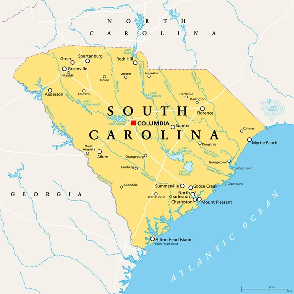
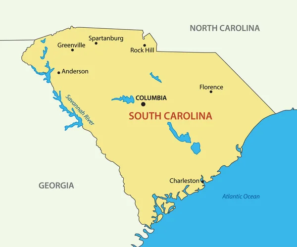
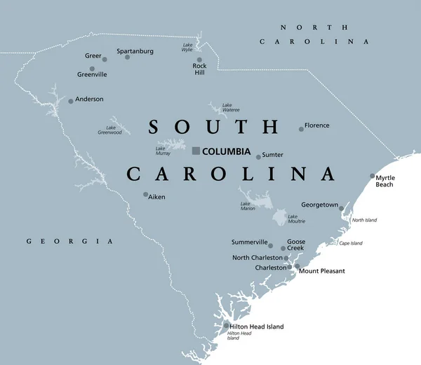
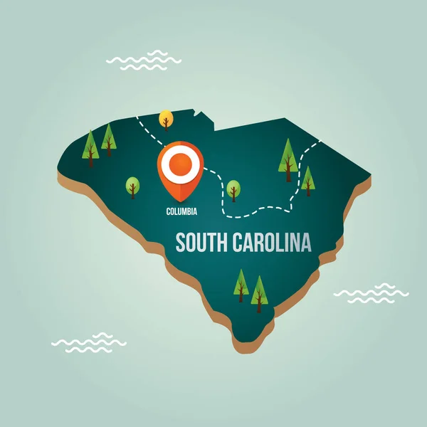
South Carolina, SC, Political Map, With The Capital Columbia, Largest Cities And Borders. State In The Southeastern Region Of The United States Of America. The Palmetto State. Illustration. Vector.

Vector, 4.52MB, 6000 × 6000 eps
stock vector State of South Carolina blue Low Poly map with capital Columbia.

State Of South Carolina Blue Low Poly Map With Capital Columbia.

Vector, 0.51MB, 5000 × 5000 eps
stock vector Sketch map of South Carolina Grayscale hand drawn map of the us state Filled regions with hachure

Sketch Map Of South Carolina Grayscale Hand Drawn Map Of The Us State Filled Regions With Hachure

Vector, 0.82MB, 5627 × 5360 eps
stock vector South Carolina - vector - state of USA

South Carolina - Vector - State Of USA

Vector, 0.28MB, 5427 × 4517 eps
stock image South Carolina Map

South Carolina Map

Image, 0.9MB, 2000 × 2000 jpg
stock vector South Carolina, SC, gray political map, with capital Columbia, largest cities and borders. State in the southeastern region of the United States of America. The Palmetto State.  Illustration. Vector.

South Carolina, SC, Gray Political Map, With Capital Columbia, Largest Cities And Borders. State In The Southeastern Region Of The United States Of America. The Palmetto State. Illustration. Vector.

Vector, 2.61MB, 6906 × 6000 eps
stock image Glowing Map of South Carolina, modern blue outline map, on dark Background

Glowing Map Of South Carolina, Modern Blue Outline Map, On Dark Background

Image, 3.71MB, 7500 × 5000 jpg
stock image South Carolina Thin Blue Line Highway Sign, South Carolina map with thin blue line flag on a highway sign with sky background

South Carolina Thin Blue Line Highway Sign, South Carolina Map With Thin Blue Line Flag On A Highway Sign With Sky Background

Image, 9.15MB, 5184 × 3456 jpg
stock vector South carolina map with sabal palmetto icon

South Carolina Map With Sabal Palmetto Icon

Vector, 3.37MB, 3873 × 3873 eps
stock vector map of the U.S. state of South Carolina

Map Of The U.S. State Of South Carolina

Vector, 0.61MB, 5000 × 5000 eps
stock vector map of south carolina state

Map Of South Carolina State

Vector, 1.42MB, 4925 × 4061 eps
stock image Map of South Carolina

Map Of South Carolina

Image, 0MB, 5000 × 4000 jpg
stock vector South Carolina, Tennessee, Georgia, Alabama, Florida USA state o

South Carolina, Tennessee, Georgia, Alabama, Florida USA State O

Vector, 14.5MB, 5000 × 5000 eps
stock vector Map of South Carolina

Map Of South Carolina

Vector, 0.65MB, 5000 × 4000 eps
stock vector Map of South Carolina

Map Of South Carolina

Vector, 0.01MB, 5000 × 4000 eps
stock vector A Highly detailed map with flag inside of the state of South Car

A Highly Detailed Map With Flag Inside Of The State Of South Car

Vector, 1.47MB, 4167 × 4167 eps
stock image vintage South Carolina state map

Vintage South Carolina State Map

Image, 16.49MB, 6300 × 4205 jpg
stock vector Outline Political US Map with titles of the states. All USA regions are separated and named in a layer panel

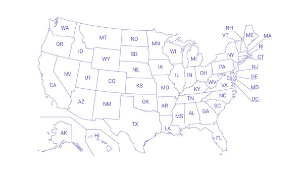
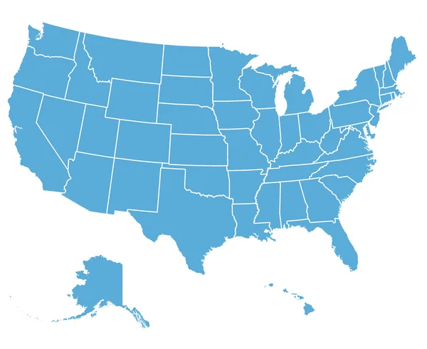
Outline Political US Map With Titles Of The States. All USA Regions Are Separated And Named In A Layer Panel

Vector, 0.61MB, 8192 × 4686 eps
stock vector vector map of the united states of america

Vector Map Of The United States Of America

Vector, 1.37MB, 3000 × 2251 eps
stock vector Map of America. United States Political map. US blueprint with the titles of states and regions. All countries are named in the layer panel.

Map Of America. United States Political Map. US Blueprint With The Titles Of States And Regions. All Countries Are Named In The Layer Panel.

Vector, 0.63MB, 8192 × 3657 eps
stock vector US election map. American Presidential Election results infographics template. All the states are separated and named in the layer panel.

US Election Map. American Presidential Election Results Infographics Template. All The States Are Separated And Named In The Layer Panel.

Vector, 1.51MB, 8192 × 4975 eps
stock vector Knob Pin South Carolina

Knob Pin South Carolina

Vector, 13.66MB, 5161 × 4744 eps
stock vector USA vector map

USA Vector Map

Vector, 0.57MB, 3300 × 2600 eps
stock vector US election map. American Presidential Election results infographics template. All the states are separated and named in the layer panel.

US Election Map. American Presidential Election Results Infographics Template. All The States Are Separated And Named In The Layer Panel.

Vector, 1.5MB, 8192 × 4975 eps
stock image Map of South Carolina state, USA

Map Of South Carolina State, USA

Image, 2.81MB, 4651 × 3000 jpg
stock image Map of South Carolina state, USA

Map Of South Carolina State, USA

Image, 2.81MB, 4651 × 3000 jpg
stock vector Black United States Of America map. US background template. Map of America with separated countries and interstate borders. All states and regions are named in the layer panel.

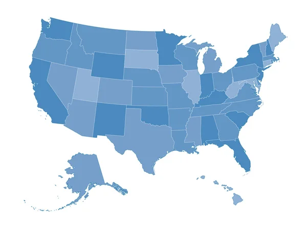
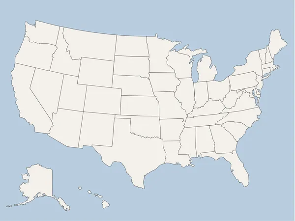
Black United States Of America Map. US Background Template. Map Of America With Separated Countries And Interstate Borders. All States And Regions Are Named In The Layer Panel.

Vector, 1.41MB, 5000 × 3200 eps
stock vector North Carolina, NC, political map. With the capital Raleigh and largest cities. State in the southeastern region of the United States of America. Old North State. Tar Heel State. Illustration. Vector.

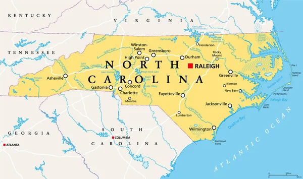
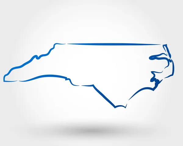
North Carolina, NC, Political Map. With The Capital Raleigh And Largest Cities. State In The Southeastern Region Of The United States Of America. Old North State. Tar Heel State. Illustration. Vector.

Vector, 5.04MB, 9000 × 5331 eps
stock vector USA map  vector

USA Map Vector

Vector, 1.35MB, 3160 × 2234 eps
stock vector Map of South Carolina

Map Of South Carolina

Vector, 0.01MB, 5000 × 4000 eps
stock vector South carolina map with capital city

South Carolina Map With Capital City

Vector, 2.01MB, 2300 × 2300 eps
stock vector Map of South Carolina

Map Of South Carolina

Vector, 0.01MB, 5000 × 4000 eps
stock vector USA map

USA Map

Vector, 1.54MB, 3160 × 2236 eps
stock vector Map of South Carolina

Map Of South Carolina

Vector, 0.65MB, 5000 × 4000 eps
stock image South Carolina(USA) map

South Carolina(USA) Map

Image, 1.17MB, 3485 × 2992 jpg
stock vector South Carolina SC state Map USA. Black silhouette and outline isolated maps on a white background. EPS Vector

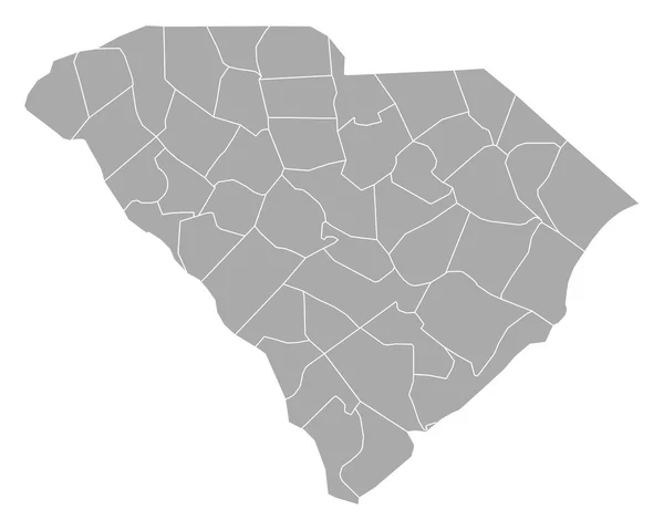
South Carolina SC State Map USA. Black Silhouette And Outline Isolated Maps On A White Background. EPS Vector

Vector, 5.62MB, 8334 × 12501 eps
Page 1 >> Next