photo free
Home Images Vectors Videos

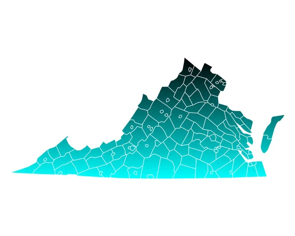
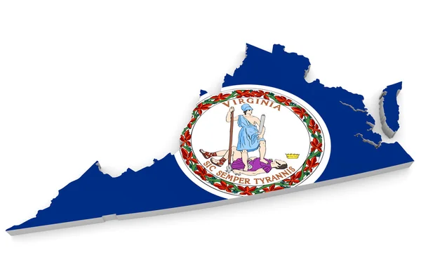
Stock image Virginia Region

stock vector virginia

Virginia

Vector, 2.81MB, 5000 × 4000 eps
stock vector Accurate map of Virginia

Accurate Map Of Virginia

Vector, 0.76MB, 5000 × 4000 eps
stock vector Accurate map of Virginia

Accurate Map Of Virginia

Vector, 0.76MB, 5000 × 4000 eps
stock vector Accurate map of Virginia

Accurate Map Of Virginia

Vector, 0.7MB, 5000 × 4000 eps
stock vector Accurate map of Virginia

Accurate Map Of Virginia

Vector, 0.71MB, 5000 × 4000 eps
stock vector Accurate map of Virginia

Accurate Map Of Virginia

Vector, 0.76MB, 5000 × 4000 eps
stock vector Accurate map of Virginia

Accurate Map Of Virginia

Vector, 0.76MB, 5000 × 4000 eps
stock vector Accurate map of Virginia

Accurate Map Of Virginia

Vector, 0.72MB, 5000 × 4000 eps
stock vector Accurate map of Virginia

Accurate Map Of Virginia

Vector, 0.71MB, 5000 × 4000 eps
stock vector Accurate map of Virginia

Accurate Map Of Virginia

Vector, 0.71MB, 5000 × 4000 eps
stock vector Virginia state map silhouette icon

Virginia State Map Silhouette Icon

Vector, 0.41MB, 5000 × 5000 eps
stock vector Map of West Virginia

Map Of West Virginia

Vector, 0.67MB, 5000 × 4000 eps
stock vector Map of West Virginia

Map Of West Virginia

Vector, 0.67MB, 5000 × 4000 eps
stock image Hiking Trail in the Fall, On the property of Monticello, hiking trail down to Jefferson's grave

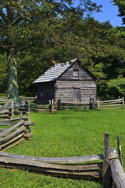
Hiking Trail In The Fall, On The Property Of Monticello, Hiking Trail Down To Jefferson's Grave

Image, 16.02MB, 5616 × 3744 jpg
stock image Old Log Cabin

Old Log Cabin

Image, 15.68MB, 3744 × 5616 jpg
stock vector High Quality map of Virginia is a state of United States of America with borders of the counties

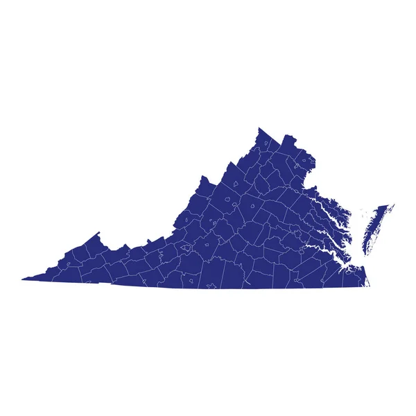
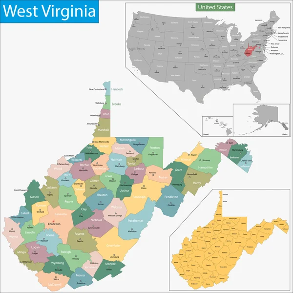
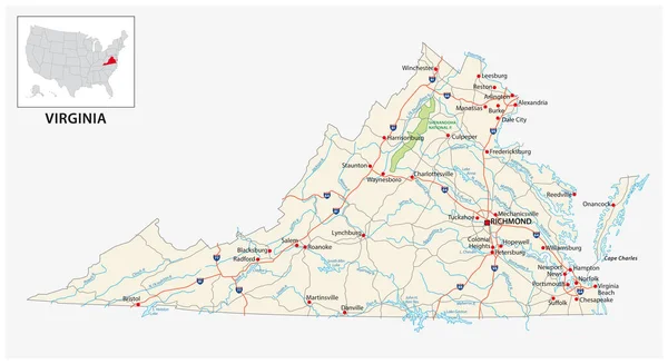
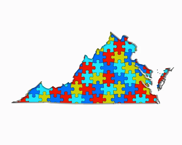
High Quality Map Of Virginia Is A State Of United States Of America With Borders Of The Counties

Vector, 2.34MB, 4000 × 4000 eps
stock vector Map of The United States of America USA with territories and Islands. Different map variations for your design. Stock Vector illustration isolated on white background.

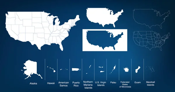
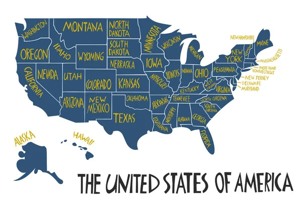
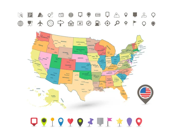
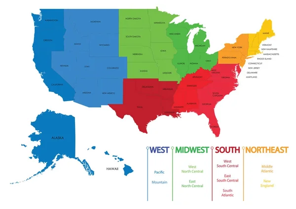
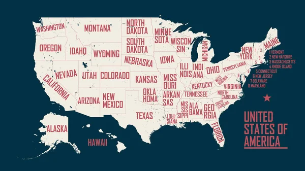
Map Of The United States Of America USA With Territories And Islands. Different Map Variations For Your Design. Stock Vector Illustration Isolated On White Background.

Vector, 5.9MB, 6000 × 3164 eps
stock image Old Log Cabin

Old Log Cabin

Image, 21.85MB, 4724 × 3744 jpg
stock vector West Virginia map with shapes of regions Blank vector map of the Us State with counties Borders of

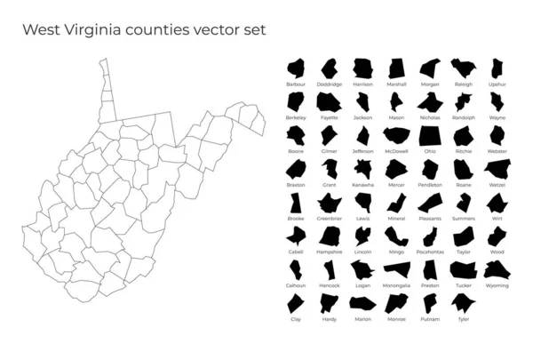
West Virginia Map With Shapes Of Regions Blank Vector Map Of The Us State With Counties Borders Of

Vector, 0.49MB, 6836 × 4412 eps
stock vector US election map. American Presidential Election results infographics template. All the states are separated and named in the layer panel.

US Election Map. American Presidential Election Results Infographics Template. All The States Are Separated And Named In The Layer Panel.

Vector, 1.51MB, 8192 × 4975 eps
stock vector Vector hand drawn stylized map of The United States of America. Travel illustration of USA states. Hand drawn lettering illustration. North America map element

Vector Hand Drawn Stylized Map Of The United States Of America. Travel Illustration Of USA States. Hand Drawn Lettering Illustration. North America Map Element

Vector, 0.64MB, 6000 × 4000 eps
stock vector U.S. state of West Virginia

U.S. State Of West Virginia

Vector, 0.62MB, 5000 × 5000 eps
stock image Australia wooden sign

Australia Wooden Sign

Image, 4.88MB, 4100 × 2662 jpg
stock vector Virginia map

Virginia Map

Vector, 11.84MB, 7002 × 7002 eps
stock vector Detailed vintage map of United States of America with names of 5

Detailed Vintage Map Of United States Of America With Names Of 5

Vector, 25.88MB, 7296 × 4104 eps
stock vector Vector Contour Dotted Map of West Virginia State with Name

Vector Contour Dotted Map Of West Virginia State With Name

Vector, 0.38MB, 5450 × 3600 eps
stock vector US election map. American Presidential Election results infographics template. All the states are separated and named in the layer panel.

US Election Map. American Presidential Election Results Infographics Template. All The States Are Separated And Named In The Layer Panel.

Vector, 1.5MB, 8192 × 4975 eps
stock image Australia Flag wooden sign

Australia Flag Wooden Sign

Image, 5.22MB, 4100 × 2662 jpg
stock vector Map of the United States of America

Map Of The United States Of America

Vector, 2.33MB, 5000 × 3123 ai
stock image A truss bridge crosses the Potomac River and connects the historic town of Harpers Ferry, West Virginia, to Maryland Heights in the state of Maryland, Harpers Ferry National Historical Park

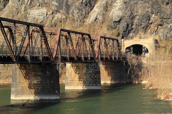
A Truss Bridge Crosses The Potomac River And Connects The Historic Town Of Harpers Ferry, West Virginia, To Maryland Heights In The State Of Maryland, Harpers Ferry National Historical Park

Image, 12.72MB, 5184 × 3456 jpg
stock vector West Virginia map

West Virginia Map

Vector, 8.19MB, 7002 × 7002 eps
stock vector West Virginia WV state Map USA with Capital City Star at Charleston. Black silhouette and outline isolated maps on a white background. EPS Vector

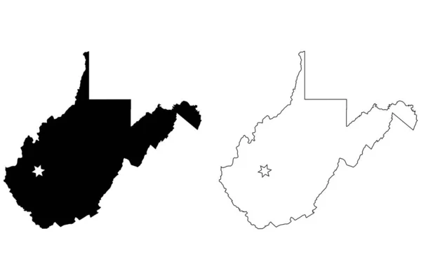
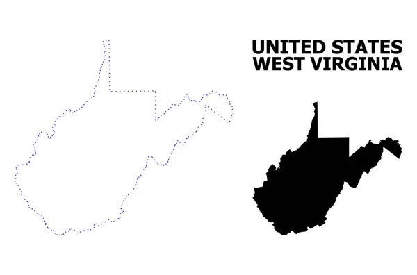
West Virginia WV State Map USA With Capital City Star At Charleston. Black Silhouette And Outline Isolated Maps On A White Background. EPS Vector

Vector, 5.63MB, 12501 × 8334 eps
stock vector Virginia vector map silhouette isolated on white background. High detailed illustration. United state of America country.

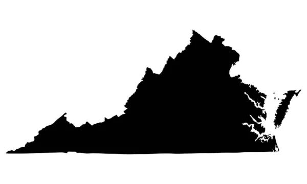
Virginia Vector Map Silhouette Isolated On White Background. High Detailed Illustration. United State Of America Country.

Vector, 0.32MB, 5000 × 3000 eps
stock image Church on the Hill in Brunswick Maryland USA

Church On The Hill In Brunswick Maryland USA

Image, 17.68MB, 6016 × 4016 jpg
stock image Geographic border map and flag of Virginia, Old Dominion state

Geographic Border Map And Flag Of Virginia, Old Dominion State

Image, 1.19MB, 4000 × 2600 jpg
stock image Landscape of New River Gorge West Virginia

Landscape Of New River Gorge West Virginia

Image, 6.68MB, 8219 × 3667 jpg
stock image American Culdesac Aerial

American Culdesac Aerial

Image, 3.32MB, 2600 × 1733 jpg
stock vector Map of West Virginia

Map Of West Virginia

Vector, 0.65MB, 5000 × 4000 eps
stock vector USA map with flag and navigation icons

USA Map With Flag And Navigation Icons

Vector, 3.03MB, 8192 × 6357 eps
stock vector map of the U.S. state of West Virginia

Map Of The U.S. State Of West Virginia

Vector, 0.61MB, 5000 × 5000 eps
stock vector road map of the US American State of Virginia

Road Map Of The US American State Of Virginia

Vector, 1.53MB, 5680 × 3100 eps
stock image Charlottesville, Virginia, USA - October 20, 2016.  Monticello, Thomas Jefferson's home in Virginia, from the West Lawn and flower garden, built 1772

Charlottesville, Virginia, USA - October 20, 2016. Monticello, Thomas Jefferson's Home In Virginia, From The West Lawn And Flower Garden, Built 1772

Image, 16.3MB, 5431 × 3504 jpg
stock vector Map of US regions. Maps USA

Map Of US Regions. Maps USA

Vector, 3.51MB, 7087 × 5011 eps
stock vector Vector hand drawn stylized map of The United States of America with states names. Travel illustration of USA shape. North America map element

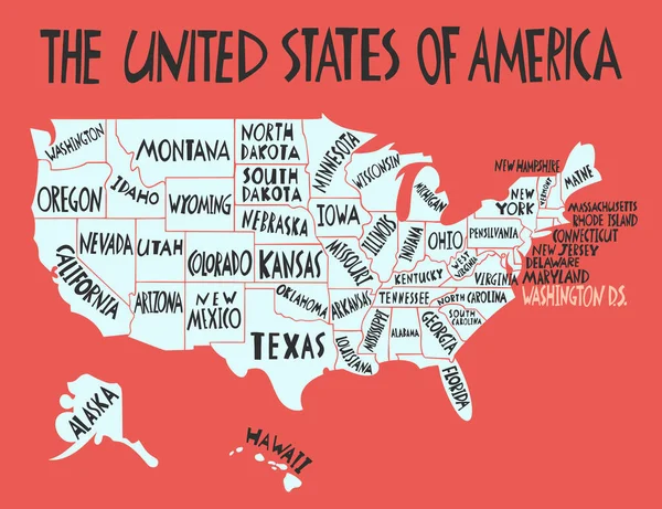
Vector Hand Drawn Stylized Map Of The United States Of America With States Names. Travel Illustration Of USA Shape. North America Map Element

Vector, 0.85MB, 5200 × 4000 eps
stock image Silhouette of Virginia full of puzzle pieces on white background

Silhouette Of Virginia Full Of Puzzle Pieces On White Background

Image, 4.04MB, 5000 × 4000 jpg
stock vector Icons States map. America states map icons on a white background

Icons States Map. America States Map Icons On A White Background

Vector, 1.51MB, 5000 × 5000 eps
stock image Charlottesville, Virginia, USA - October 20, 2016. Monticello, Thomas Jefferson's home in Virginia, from the West Lawn, built 1772

Charlottesville, Virginia, USA - October 20, 2016. Monticello, Thomas Jefferson's Home In Virginia, From The West Lawn, Built 1772

Image, 10.48MB, 5464 × 3360 jpg
stock image Young deer in the meadow at highlands, Scotland

Young Deer In The Meadow At Highlands, Scotland

Image, 3.65MB, 2592 × 1728 jpg
stock vector Map of the United States of America, with borders and state name

Map Of The United States Of America, With Borders And State Name

Vector, 25.9MB, 7296 × 4104 eps
stock vector Icons States map. America states map icons on a white background

Icons States Map. America States Map Icons On A White Background

Vector, 1.55MB, 5000 × 5000 eps
Page 1 >> Next