photo free
Home Images Vectors Videos

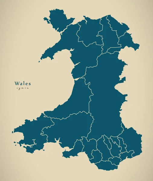
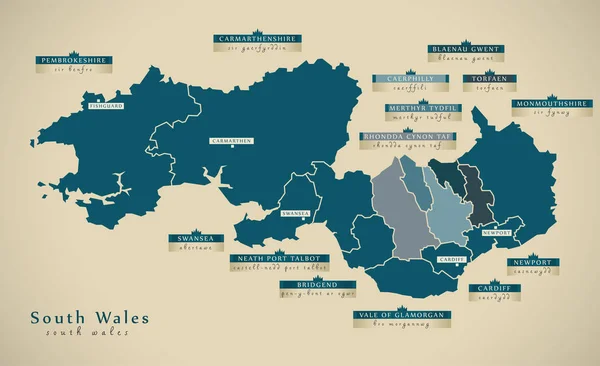
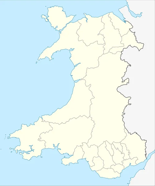
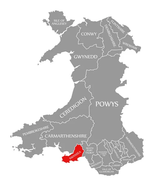
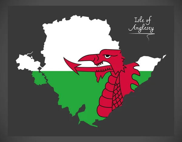
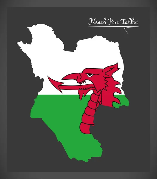
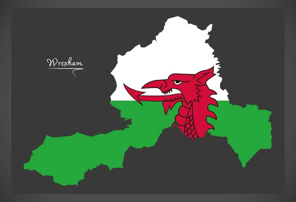
Stock image Wales Counties

stock vector Wales Map labelled black

Wales Map Labelled Black

Vector, 4.76MB, 5500 × 6651 eps
stock vector Map of counties of Great Britain

Map Of Counties Of Great Britain

Vector, 2.47MB, 4300 × 6100 eps
stock image Modern Map - Wales with regions UK

Modern Map - Wales With Regions UK

Image, 3.2MB, 4700 × 5552 jpg
stock vector Political Map of United Kingdom

Political Map Of United Kingdom

Vector, 6.55MB, 4000 × 5990 eps
stock vector Outline vector map of the six metropolitan counties of England, United Kingdom

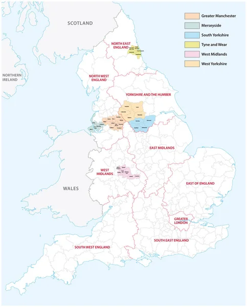
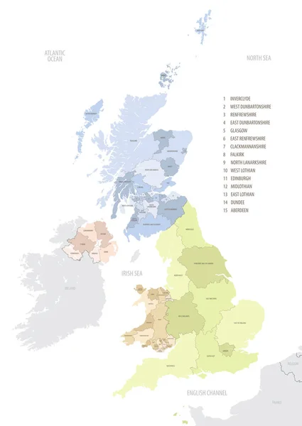
Outline Vector Map Of The Six Metropolitan Counties Of England, United Kingdom

Vector, 2.31MB, 3575 × 4440 eps
stock image Modern Map - South Wales UK

Modern Map - South Wales UK

Image, 4.7MB, 7456 × 4556 jpg
stock image Modern Map - North Wales UK

Modern Map - North Wales UK

Image, 3.1MB, 5409 × 4544 jpg
stock vector united kingdom administrative and political map with flag

United Kingdom Administrative And Political Map With Flag

Vector, 2.45MB, 3271 × 4739 eps
stock vector United Kingdom Map grey isolated

United Kingdom Map Grey Isolated

Vector, 4.51MB, 5000 × 6991 eps
stock vector Wales Map grey isolated

Wales Map Grey Isolated

Vector, 3.93MB, 5000 × 6046 eps
stock vector Location map of United Kingdom in Europe with administrative divisions, detailed vector illustration

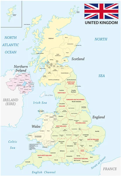
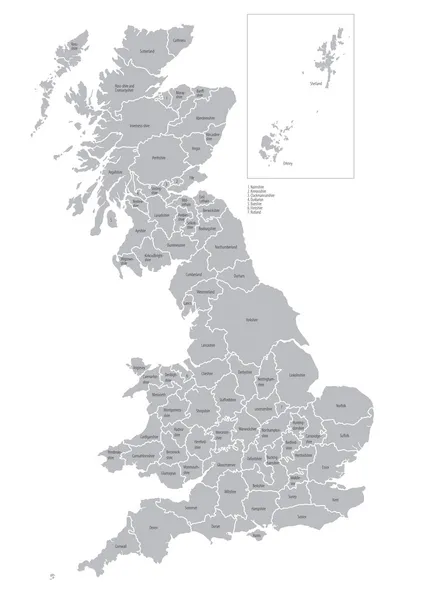
Location Map Of United Kingdom In Europe With Administrative Divisions, Detailed Vector Illustration

Vector, 4.61MB, 5453 × 7677 eps
stock image Map of Wales

Map Of Wales

Image, 1.4MB, 3000 × 3588 jpg
stock vector UK map and flags

UK Map And Flags

Vector, 0.68MB, 4000 × 4000 eps
stock image New South Wales red highlighted in map of Australia

New South Wales Red Highlighted In Map Of Australia

Image, 0.34MB, 5653 × 5100 jpg
stock image Swansea red highlighted in map of Wales

Swansea Red Highlighted In Map Of Wales

Image, 3.61MB, 5600 × 6773 jpg
stock vector United Kingdom Map with countries grey isolated

United Kingdom Map With Countries Grey Isolated

Vector, 4.59MB, 5000 × 6991 eps
stock vector Isle of Anglesey Wales map with Welsh national flag illustration

Isle Of Anglesey Wales Map With Welsh National Flag Illustration

Vector, 6.52MB, 6393 × 5000 eps
stock vector Swansea Wales map with Welsh national flag illustration

Swansea Wales Map With Welsh National Flag Illustration

Vector, 7.13MB, 6013 × 5000 eps
stock vector Neath Port Talbot Wales map with Welsh national flag illustratio

Neath Port Talbot Wales Map With Welsh National Flag Illustratio

Vector, 6.22MB, 5000 × 5693 eps
stock vector Australia

Australia

Vector, 0.86MB, 4693 × 4261 eps
stock vector Wrexham Wales map with Welsh national flag illustration

Wrexham Wales Map With Welsh National Flag Illustration

Vector, 7.25MB, 7318 × 5000 eps
stock image Preserved counties (Wales)

Preserved Counties (Wales)

Image, 11.13MB, 4288 × 2848 jpg
stock image Map of Prince of Wales Hyder borough in Alaska state on white background. single County map highlighted by black colour on Alaska map. UNITED STATES, US

Map Of Prince Of Wales Hyder Borough In Alaska State On White Background. Single County Map Highlighted By Black Colour On Alaska Map. UNITED STATES, US

Image, 4.36MB, 8000 × 6667 jpg
Page 1 >> Next