Home
Images
Vectors
Videos
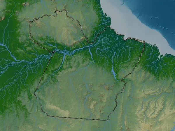
Stock image Amapa, state of Brazil. Colored elevation map with lakes and rivers
Published:
Sep.16, 2022 19:08:41
Author:
Yarr65
Views:
2
Downloads:
0
File type:
image
/
jpg
File size:
7.81 MB
Orginal size:
3840
x
2880
px
Available sizes:
S
(500 x 375)
M
(1000 x 750)
L
(2000 x 1500)
XL
(3840 x 2880)
EL0
(3840 x 2880)
Level:
bronze
Download Image
Image topics:
Shape
Nature
Border
Contour
Earth
Planet
World
Ocean
Science
Capital
Outline
Country
Map
Geography
Continent
Land
Zoom
State
Region
Brazil
Territory
Atlas
Legend
Brasilia
Stereographic
Macapa
South America
Amapá
Alvorada
Araguaina
Arraias
Administrative Division
Gurupi
Miracema Do Tocantins
Taguatinga
Similar stock images
Amapa, State Of Brazil. Elevation Map Colored In Wiki Style With Lakes And Rivers
3840 × 2880
Para, State Of Brazil. Colored Elevation Map With Lakes And Rivers
3840 × 2880
Piaui, State Of Brazil. Colored Elevation Map With Lakes And Rivers
3840 × 2880
Cayenne, Arrondissement Of French Guiana. Colored Elevation Map With Lakes And Rivers
3840 × 2880
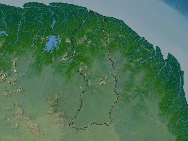
Cayenne, Arrondissement Of French Guiana. Elevation Map Colored In Wiki Style With Lakes And Rivers
3840 × 2880
Saint-Laurent-du-Maroni, Arrondissement Of French Guiana. Colored Elevation Map With Lakes And Rivers
3840 × 2880
Barima-Waini, Region Of Guyana. Colored Elevation Map With Lakes And Rivers
3840 × 2880
Maranhao, State Of Brazil. Elevation Map Colored In Wiki Style With Lakes And Rivers
3840 × 2880