Home
Images
Vectors
Videos
Stock image Batticaloa, district of Sri Lanka. Low resolution satellite map
Published:
Feb.24, 2023 13:43:13
Author:
Yarr65
Views:
1
Downloads:
0
File type:
image
/
jpg
File size:
6.19 MB
Orginal size:
3840
x
2880
px
Available sizes:
S
(500 x 375)
M
(1000 x 750)
L
(2000 x 1500)
XL
(3840 x 2880)
EL0
(3840 x 2880)
Level:
bronze
Download Image
Image topics:
Shape
Nature
Border
Contour
Earth
Planet
World
Ocean
Science
Capital
Outline
Country
District
Map
Geography
Continent
Land
Zoom
Asia
Region
Territory
Atlas
Legend
Colombo
Stereographic
Sri Lanka
Batticaloa
Lka
Administrative Division
Kattankudy
Similar stock images
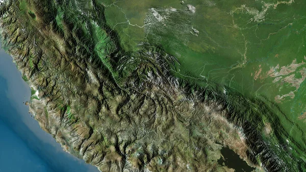
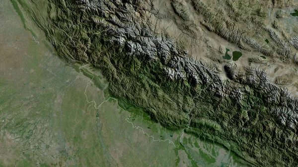
Cusco, Region Of Peru. Satellite Imagery. Shape Outlined Against Its Country Area. 3D Rendering
2880 × 1620
Manawatu-Wanganui, Regional Council Of New Zealand. Satellite Imagery. Shape Outlined Against Its Country Area. 3D Rendering
2880 × 1620
'Asir, Region Of Saudi Arabia. Low Resolution Satellite Map
3840 × 2880
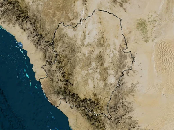
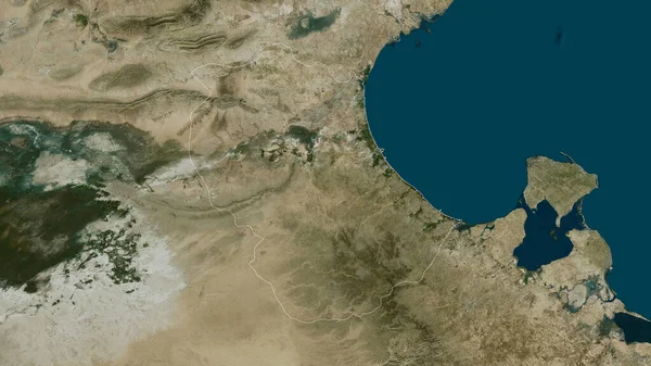
Hormozgan, Province Of Iran. Satellite Imagery. Shape Outlined Against Its Country Area. 3D Rendering
2880 × 1620
Uttarakhand, State Of India. Satellite Imagery. Shape Outlined Against Its Country Area. 3D Rendering
2880 × 1620
Chiapas, State Of Mexico. Colored Shader Data With Lakes And Rivers. Shape Outlined Against Its Country Area. 3D Rendering
2880 × 1620
Mudug, Region Of Somalia. Colored Elevation Map With Lakes And Rivers
3840 × 2880
Gabes, Governorate Of Tunisia. Satellite Imagery. Shape Outlined Against Its Country Area. 3D Rendering
2880 × 1620