Home
Images
Vectors
Videos
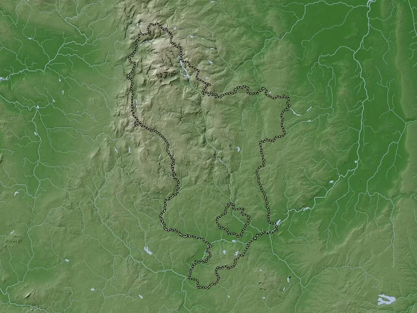
Stock image Brandenburg, state of Germany. Elevation map colored in wiki style with lakes and rivers
Published:
Oct.04, 2022 10:03:20
Author:
Yarr65
Views:
2
Downloads:
0
File type:
image
/
jpg
File size:
8.35 MB
Orginal size:
3840
x
2880
px
Available sizes:
S
(500 x 375)
M
(1000 x 750)
L
(2000 x 1500)
XL
(3840 x 2880)
EL0
(3840 x 2880)
Level:
bronze
Download Image
Image topics:
Shape
Nature
Border
Contour
Earth
Planet
World
Ocean
Science
Capital
Europe
Outline
Country
Map
Geography
Continent
Germany
Land
Zoom
State
Berlin
Region
Territory
Atlas
Legend
Brandenburg
Weimar
Potsdam
Stereographic
Gotha
DEU
Gera
Eisenach
Jena
Ilmenau
Altenburg
Suhl
Meiningen
Nordhausen
Greiz
Sonneberg
Muehlhausen
Sondershausen
Schmalkalden
Administrative Division
Similar stock images
Sachsen-Anhalt, State Of Germany. Elevation Map Colored In Wiki Style With Lakes And Rivers
3840 × 2880
Derbyshire, Administrative County Of England - Great Britain. Elevation Map Colored In Wiki Style With Lakes And Rivers
3840 × 2880
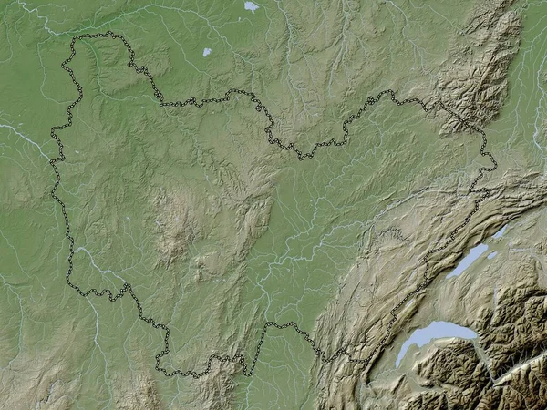
Marijampoles, County Of Lithuania. Elevation Map Colored In Wiki Style With Lakes And Rivers
3840 × 2880
Bourgogne-Franche-Comte, Region Of France. Elevation Map Colored In Wiki Style With Lakes And Rivers
3840 × 2880
Sachsen, State Of Germany. Elevation Map Colored In Wiki Style With Lakes And Rivers
3840 × 2880
Nordrhein-Westfalen, State Of Germany. Elevation Map Colored In Wiki Style With Lakes And Rivers
3840 × 2880
Kayes, Region Of Mali. Colored Elevation Map With Lakes And Rivers
3840 × 2880
Panevezio, County Of Lithuania. Elevation Map Colored In Wiki Style With Lakes And Rivers
3840 × 2880