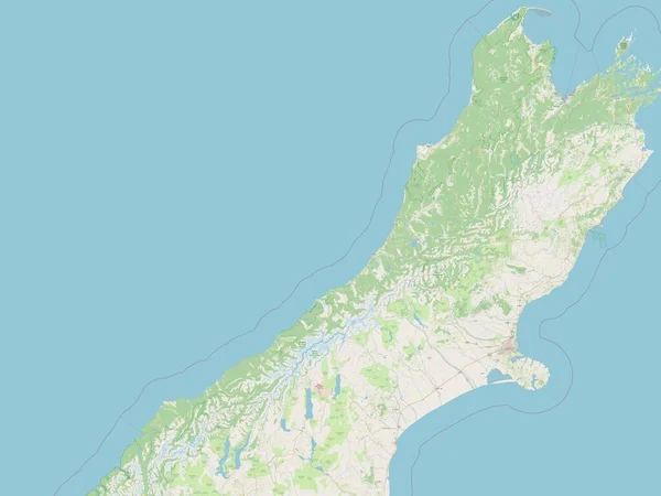
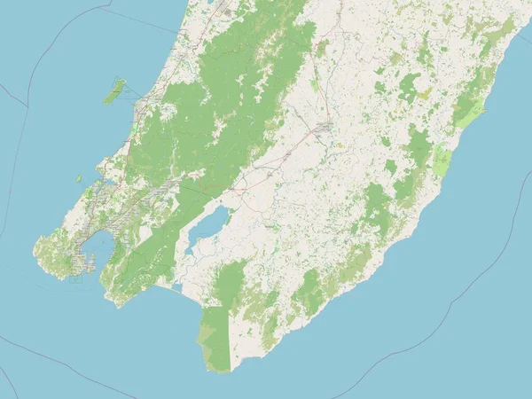
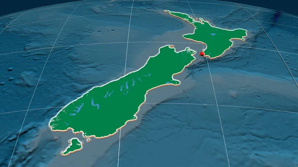
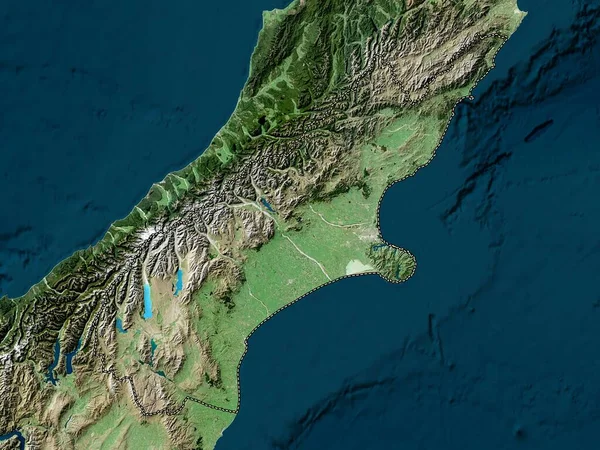
Stock image Canterbury, regional council of New Zealand. Open Street Map

Published: Nov.02, 2022 14:14:19
Author: Yarr65
Views: 1
Downloads: 0
File type: image / jpg
File size: 3.52 MB
Orginal size: 3840 x 2880 px
Available sizes:
Level: bronze