photo free
Home Images Vectors Videos

Stock image West Coast, regional council of New Zealand. Open Street Map
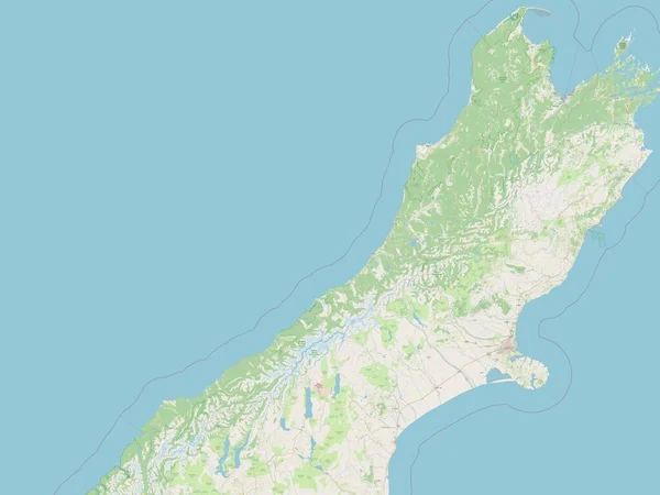
Stock image West Coast, regional council of New Zealand. Open Street Map
Published: Nov.02, 2022 14:15:32
Author: Yarr65
Views: 2
Downloads: 0
File type: image / jpg
File size: 2.94 MB
Orginal size: 3840 x 2880 px
Available sizes:
S
(500 x 375)
M
(1000 x 750)
L
(2000 x 1500)
XL
(3840 x 2880)
EL0
(3840 x 2880)
Level: bronze
Download Image
Image topics:

Similar stock images

stock image Canterbury, regional council of New Zealand. Open Street Map

Canterbury, Regional Council Of New Zealand. Open Street Map

3840 × 2880
stock image Marlborough, unitary authority of New Zealand. Open Street Map

Marlborough, Unitary Authority Of New Zealand. Open Street Map

3840 × 2880
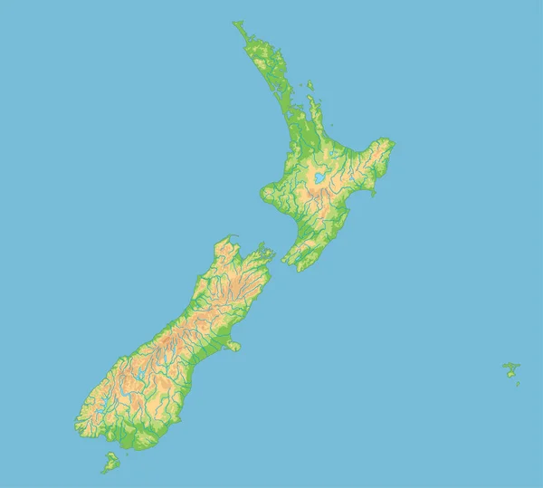
stock vector High detailed New Zealand physical map.

High Detailed New Zealand Physical Map.

5670 × 5100
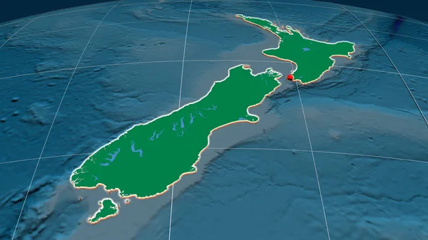
stock image New Zealand extruded on the physical orthographic map. Capital, administrative borders and graticule

New Zealand Extruded On The Physical Orthographic Map. Capital, Administrative Borders And Graticule

3840 × 2160
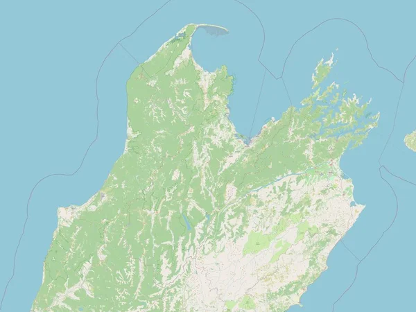
stock image Nelson, unitary authority of New Zealand. Open Street Map

Nelson, Unitary Authority Of New Zealand. Open Street Map

3840 × 2880
stock vector Map of New Zealand black thick outline highlighted with neighbor countries

Map Of New Zealand Black Thick Outline Highlighted With Neighbor Countries

6000 × 6000