Home
Images
Vectors
Videos
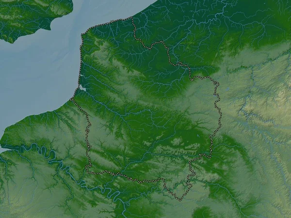
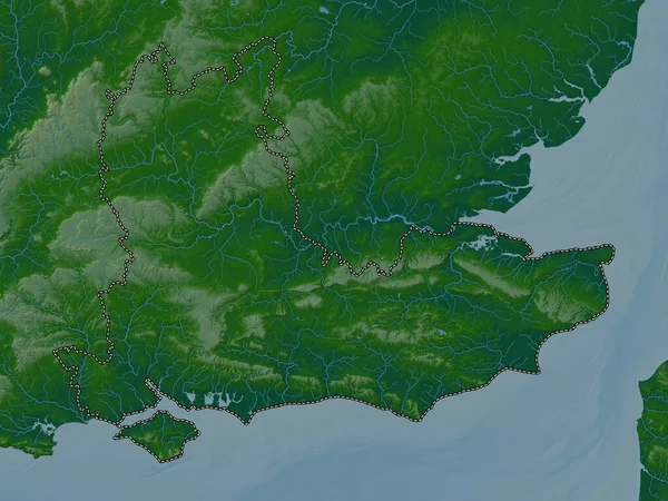
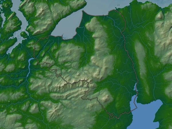
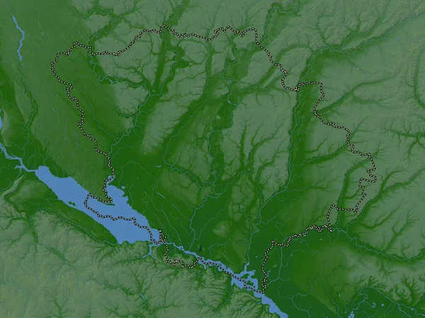
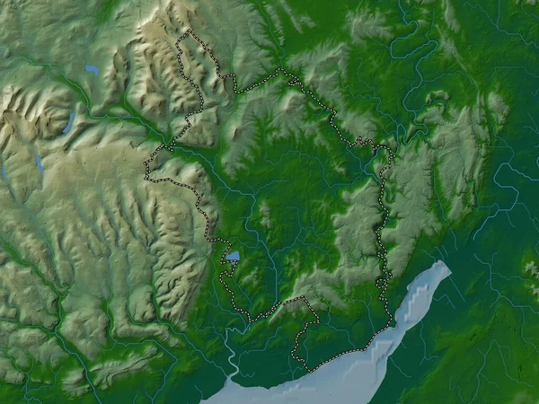
Stock image Carmarthenshire, region of Wales - Great Britain. Colored elevation map with lakes and rivers
Published:
Apr.21, 2023 13:55:48
Author:
Yarr65
Views:
1
Downloads:
0
File type:
image
/
jpg
File size:
6.58 MB
Orginal size:
3840
x
2880
px
Available sizes:
S
(500 x 375)
M
(1000 x 750)
L
(2000 x 1500)
XL
(3840 x 2880)
EL0
(3840 x 2880)
Level:
bronze
Download Image
Image topics:
Shape
Nature
Border
Contour
Earth
Planet
World
Ocean
Science
Capital
Europe
Outline
Country
Map
Geography
Continent
Land
Zoom
Region
Territory
Atlas
Tumble
Legend
Stereographic
Cardiff
GBR
Cross Hands
Carmarthen
Carmarthenshire
Burry Port
Llanelli
Llandovery
Administrative Division
Llandeilo
Ammanford
Pontyberem
Llangeler
Tycroes
Llangennech
Llandybie
Wales Great Britain
Brynaman
Cydweli
Trimsaran
Similar stock images
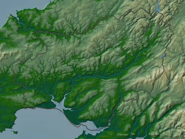
Carmarthenshire, Region Of Wales - Great Britain. Elevation Map Colored In Wiki Style With Lakes And Rivers
3840 × 2880
Hauts-de-France, Region Of France. Colored Elevation Map With Lakes And Rivers
3840 × 2880
South East, Region Of United Kingdom. Colored Elevation Map With Lakes And Rivers
3840 × 2880
Londonderry, Region Of Northern Ireland. Colored Elevation Map With Lakes And Rivers
3840 × 2880
Poltava, Region Of Ukraine. Colored Elevation Map With Lakes And Rivers
3840 × 2880
Monmouthshire, Region Of Wales - Great Britain. Colored Elevation Map With Lakes And Rivers
3840 × 2880
Poltava, Region Of Ukraine. Colored Elevation Map With Lakes And Rivers
3840 × 2880
Donets'k, Region Of Ukraine. Colored Shader Data With Lakes And Rivers. Shape Outlined Against Its Country Area. 3D Rendering
2880 × 1620