Home
Images
Vectors
Videos
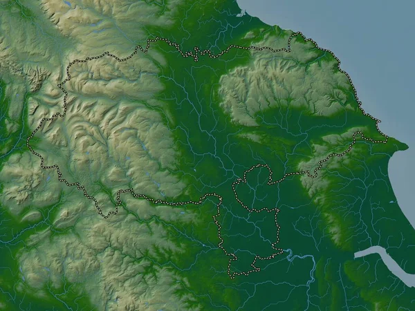
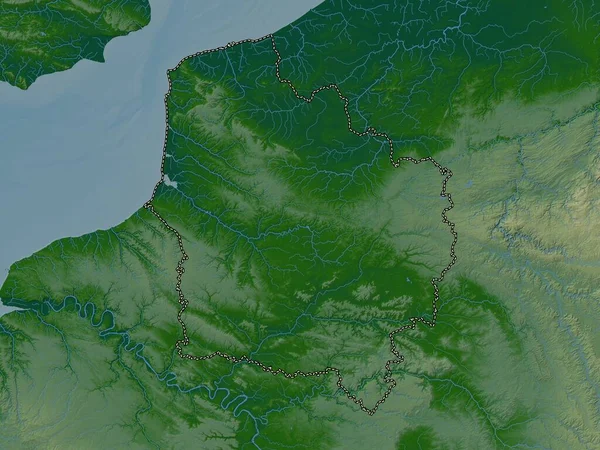
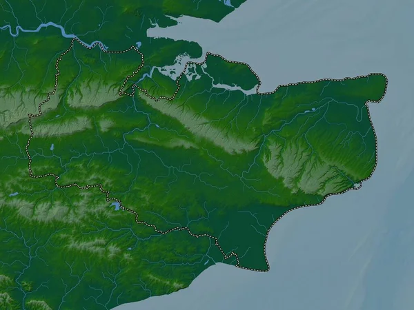
Stock image Hauts-de-France, region of France. Colored elevation map with lakes and rivers
Published:
Oct.04, 2022 10:48:37
Author:
Yarr65
Views:
1
Downloads:
0
File type:
image
/
jpg
File size:
7.43 MB
Orginal size:
3840
x
2880
px
Available sizes:
S
(500 x 375)
M
(1000 x 750)
L
(2000 x 1500)
XL
(3840 x 2880)
EL0
(3840 x 2880)
Level:
bronze
Download Image
Image topics:
Shape
Nature
Border
Nice
Contour
Earth
Planet
World
France
Ocean
Science
Capital
Europe
Outline
Country
Map
Geography
Continent
Land
Zoom
Paris
Region
Territory
Atlas
Legend
Antibes
Avignon
Fra
LILLE
Stereographic
Hyeres
Aix En Provence
Arles
Grasse
Toulon
Frejus
Hauts De France
Administrative Division
Similar stock images
Donets'k, Region Of Ukraine. Colored Elevation Map With Lakes And Rivers
3840 × 2880
Ruse, Province Of Bulgaria. Colored Elevation Map With Lakes And Rivers
3840 × 2880
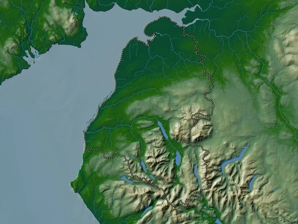
Monmouthshire, Region Of Wales - Great Britain. Colored Elevation Map With Lakes And Rivers
3840 × 2880
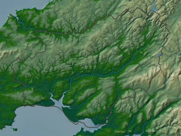
Kent, Administrative County Of England - Great Britain. Colored Elevation Map With Lakes And Rivers
3840 × 2880
North Yorkshire, Administrative County Of England - Great Britain. Colored Elevation Map With Lakes And Rivers
3840 × 2880
Osjecko-Baranjska, County Of Croatia. Colored Elevation Map With Lakes And Rivers
3840 × 2880
Allerdale, Non Metropolitan District Of England - Great Britain. Colored Elevation Map With Lakes And Rivers
3840 × 2880
Carmarthenshire, Region Of Wales - Great Britain. Colored Elevation Map With Lakes And Rivers
3840 × 2880