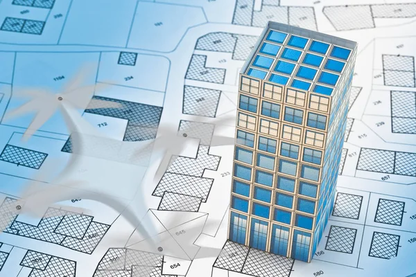
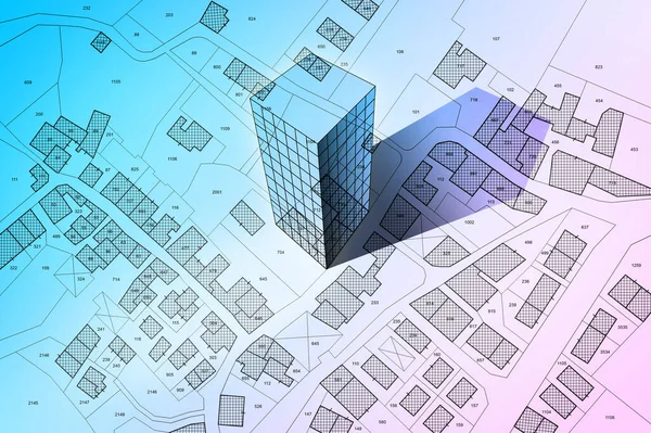
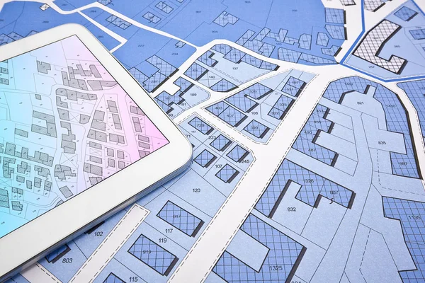
Stock image Cityscape and residential building over an imaginary city map of territory with buildings and roads - 3D rendering.

Published: Apr.18, 2023 06:50:30
Author: Francescoscatena
Views: 2
Downloads: 0
File type: image / jpg
File size: 10.2 MB
Orginal size: 4096 x 6589 px
Available sizes:
Level: bronze
Similar stock images
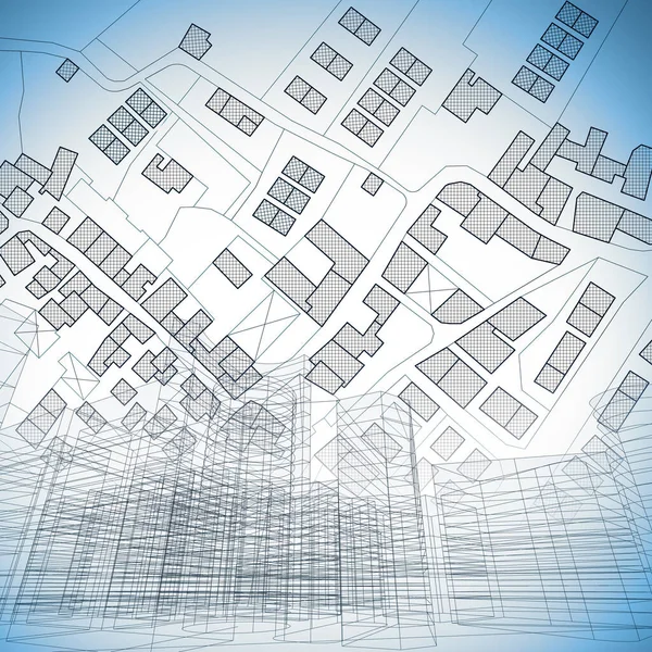
Imaginary Cadastral Map Of Territory With Buildings, Roads And Urban Skyline - Concept Illustration
5000 × 5000