Home
Images
Vectors
Videos
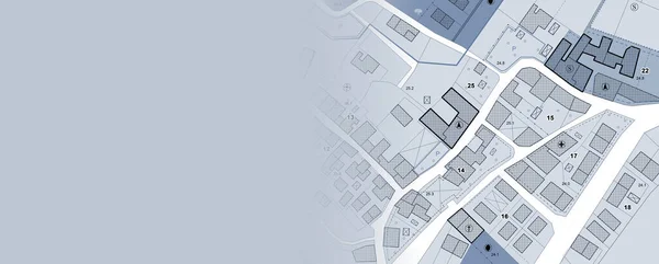
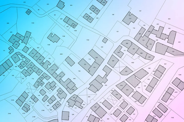
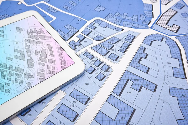
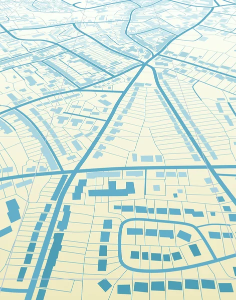
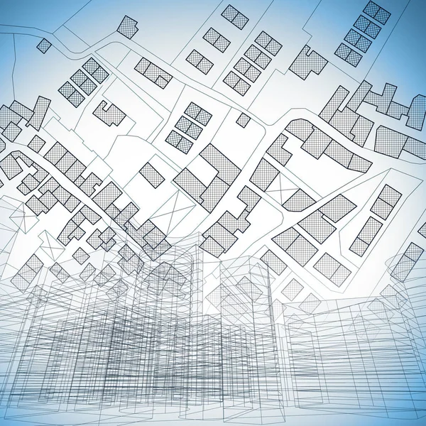
Stock image Imaginary cadastral map of territory with buildings, roads and urban skyline - concept illustration
Published:
Jun.17, 2020 07:58:14
Author:
Francescoscatena
Views:
10
Downloads:
1
File type:
image
/
jpg
File size:
15.15 MB
Orginal size:
5000
x
5000
px
Available sizes:
S
(500 x 500)
M
(1000 x 1000)
L
(2000 x 2000)
XL
(5000 x 5000)
EL0
(5000 x 5000)
Level:
bronze
Download Image
Image topics:
Illustration
Concepts
Ideas
Silhouette
Modern
Concept
Architecture
Building
City
Construction
Downtown
Skyscraper
Planning
Street
Relief
Cityscape
Town
Outline
Engineering
District
Map
Cartography
Geography
Plan
Apartment
Residential
Engineer
Metropolis
Chart
Topography
Skyscrapers
Blueprint
Territory
Civil
Metropolitan
Midtown
Cartographer
Cartographic
Cadastre
Building Exterior
Residential District
Civil Engineering
City Landscape
Construction Industry
Urban Road
Cadastral
Building Activity
Plan Document
Cadastral Parcel
Cadastral Map
Similar stock images
Imaginary General Urban Plan With Urban Destinations, Roads, Buildable Areas And Land Plot - Banner Design With Copy Space - Note: The Map Is Totally Invented And Does Not Represent Any Real Place
7872 × 3168
Imaginary Cadastral Map Of Territory With Buildings, Roads And Land Parcel - Land Registry Concept Illustration - Note: The Map Background Is Totally Invented And Does Not Represent Any Real Place.
5284 × 3520
Buildings Permit Concept With Imaginary Cadastral On Digital Tablet - Building Activity And Construction Industry With General Urban Plan
5760 × 3840
Minimal Geometrical Shapes, Architectural Lines
2400 × 2902
Digital Blue Abstract Background. City Plan In The Form Of Microcircuits. Stripes And Lines
6000 × 4800
Land Plot Management - Real Estate Concept With A Vacant Land On A Green Residential Area Available For Building Construction With Hand Holding A Postcard About An Imaginary Cadastral Map
6992 × 4992
Modern Architecture Of City, 3d Illustration
6000 × 3085
Blue Town
3300 × 4200