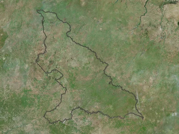
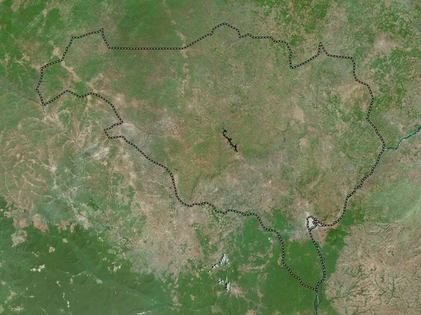
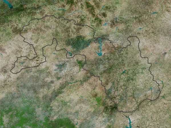
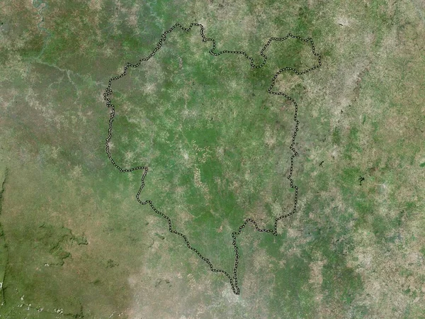
Stock image Denguele, district of Cote d'Ivoire. High resolution satellite map
Published: Sep.28, 2022 16:05:17
Author: Yarr65
Views: 2
Downloads: 0
File type: image / jpg
File size: 10.25 MB
Orginal size: 3840 x 2880 px
Available sizes:
Level: bronze