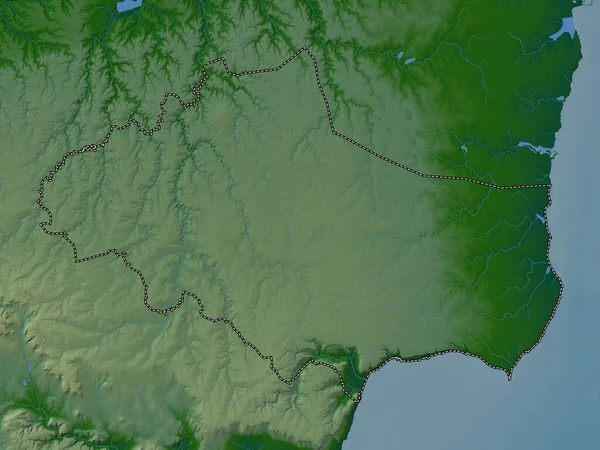
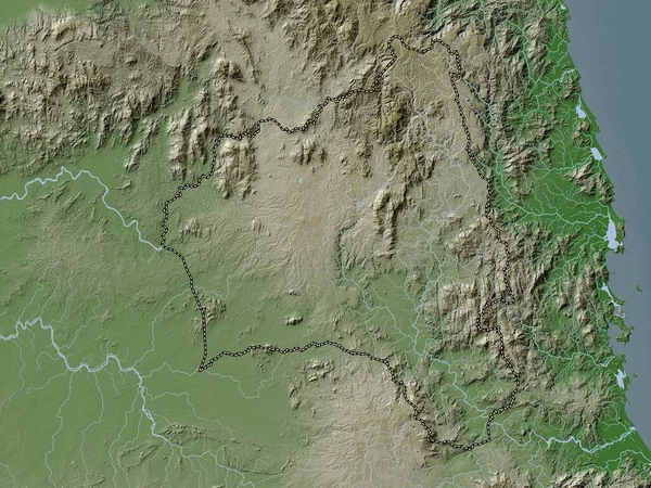
Stock image Dobrich, province of Bulgaria. Colored elevation map with lakes and rivers
Published: Sep.19, 2022 06:16:25
Author: Yarr65
Views: 2
Downloads: 0
File type: image / jpg
File size: 6.32 MB
Orginal size: 3840 x 2880 px
Available sizes:
Level: bronze
Similar stock images
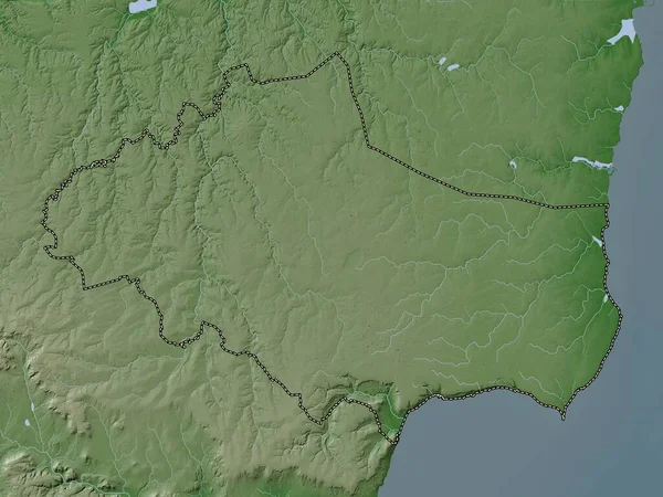
Dobrich, Province Of Bulgaria. Elevation Map Colored In Wiki Style With Lakes And Rivers
3840 × 2880
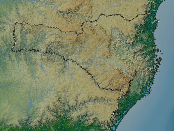

Santa Catarina, State Of Brazil. Elevation Map Colored In Wiki Style With Lakes And Rivers
3840 × 2880

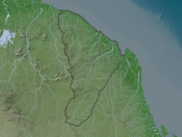
North, Governorate Of Lebanon. Elevation Map Colored In Wiki Style With Lakes And Rivers
3840 × 2880