Home
Images
Vectors
Videos
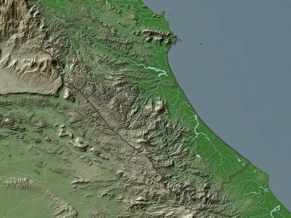
Stock image Gia Lai, province of Vietnam. Elevation map colored in wiki style with lakes and rivers
Published:
Apr.21, 2023 13:02:25
Author:
Yarr65
Views:
0
Downloads:
0
File type:
image
/
jpg
File size:
9.3 MB
Orginal size:
3840
x
2880
px
Available sizes:
S
(500 x 375)
M
(1000 x 750)
L
(2000 x 1500)
XL
(3840 x 2880)
EL0
(3840 x 2880)
Level:
bronze
Download Image
Image topics:
Shape
Nature
Border
Contour
Earth
Planet
World
Ocean
Science
Capital
Outline
Country
Map
Geography
Continent
Land
Zoom
Asia
Vietnam
Hanoi
Region
Territory
Atlas
Province
Legend
Stereographic
Gia Lai
Pleiku
Vnm
An Khe
Administrative Division
Kon Pne
Ayun Pa
Similar stock images
Gia Lai, Province Of Vietnam. Colored Elevation Map With Lakes And Rivers
3840 × 2880
Dobrich, Province Of Bulgaria. Colored Elevation Map With Lakes And Rivers
3840 × 2880
Santa Catarina, State Of Brazil. Elevation Map Colored In Wiki Style With Lakes And Rivers
3840 × 2880
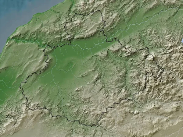
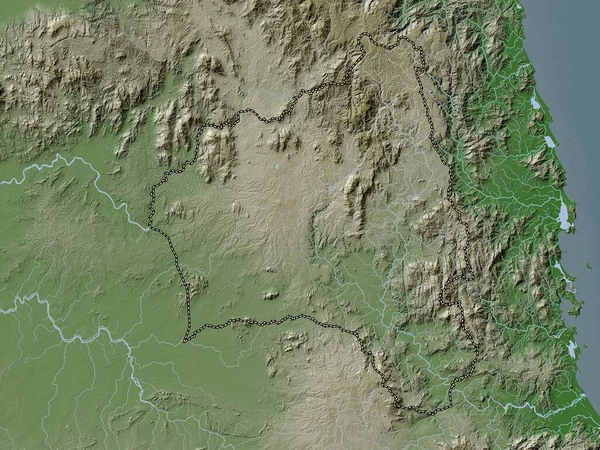
Relizane, Province Of Algeria. Elevation Map Colored In Wiki Style With Lakes And Rivers
3840 × 2880
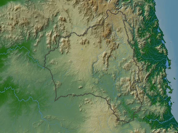
Dobrich, Province Of Bulgaria. Elevation Map Colored In Wiki Style With Lakes And Rivers
3840 × 2880
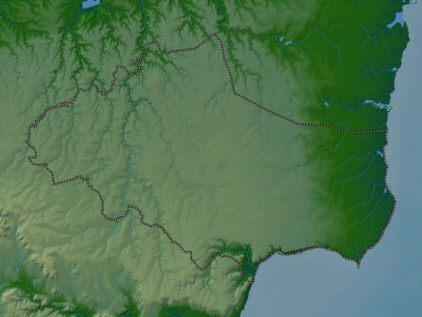
Kaoh Kong, Province Of Cambodia. Elevation Map Colored In Wiki Style With Lakes And Rivers
3840 × 2880
Ain Temouchent, Province Of Algeria. Elevation Map Colored In Wiki Style With Lakes And Rivers
3840 × 2880
Quang Binh, Province Of Vietnam. Elevation Map Colored In Wiki Style With Lakes And Rivers
3840 × 2880