photo free
Home Images Vectors Videos

Stock image East Lothian, region of Scotland - Great Britain. Colored elevation map with lakes and rivers
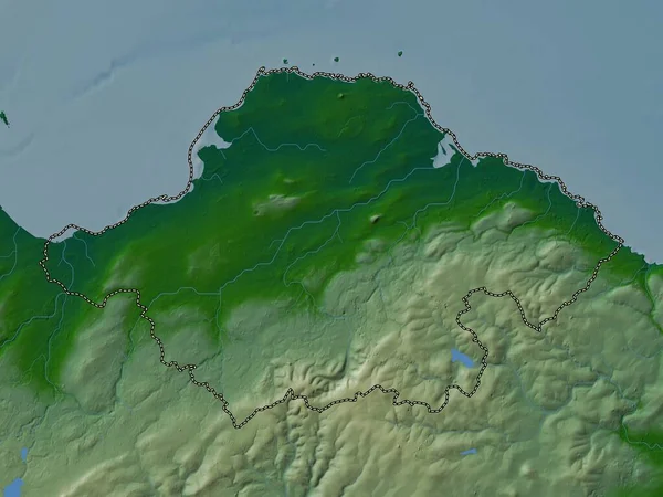
Stock image East Lothian, region of Scotland - Great Britain. Colored elevation map with lakes and rivers
Published: Apr.21, 2023 13:49:25
Author: Yarr65
Views: 0
Downloads: 0
File type: image / jpg
File size: 4.82 MB
Orginal size: 3840 x 2880 px
Available sizes:
S
(500 x 375)
M
(1000 x 750)
L
(2000 x 1500)
XL
(3840 x 2880)
EL0
(3840 x 2880)
Level: bronze
Download Image
Image topics:

Similar stock images

stock image East Lothian, region of Scotland - Great Britain. Elevation map colored in wiki style with lakes and rivers

East Lothian, Region Of Scotland - Great Britain. Elevation Map Colored In Wiki Style With Lakes And Rivers

3840 × 2880
stock image Wicklow, county of Ireland. Elevation map colored in wiki style with lakes and rivers

Wicklow, County Of Ireland. Elevation Map Colored In Wiki Style With Lakes And Rivers

3840 × 2880
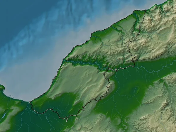
stock image Mostaganem, province of Algeria. Colored elevation map with lakes and rivers

Mostaganem, Province Of Algeria. Colored Elevation Map With Lakes And Rivers

3840 × 2880
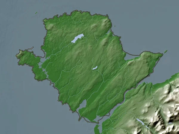
stock image Isle Of Anglesey, region of Wales - Great Britain. Elevation map colored in wiki style with lakes and rivers

Isle Of Anglesey, Region Of Wales - Great Britain. Elevation Map Colored In Wiki Style With Lakes And Rivers

3840 × 2880
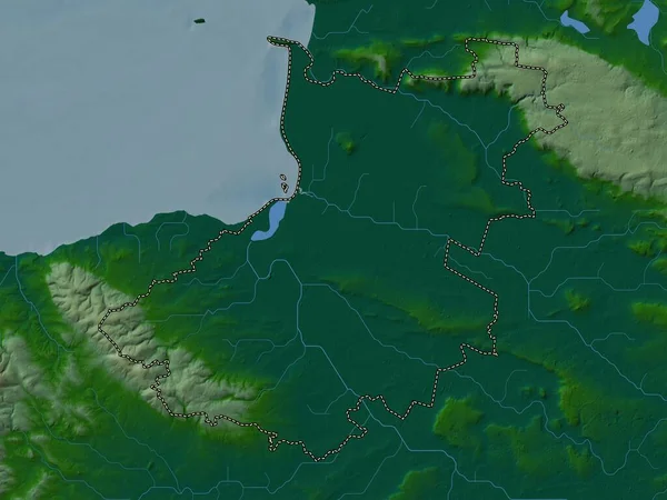
stock image North Devon, non metropolitan district of England - Great Britain. Colored elevation map with lakes and rivers

North Devon, Non Metropolitan District Of England - Great Britain. Colored Elevation Map With Lakes And Rivers

3840 × 2880
stock image Sedgemoor, non metropolitan district of England - Great Britain. Colored elevation map with lakes and rivers

Sedgemoor, Non Metropolitan District Of England - Great Britain. Colored Elevation Map With Lakes And Rivers

3840 × 2880
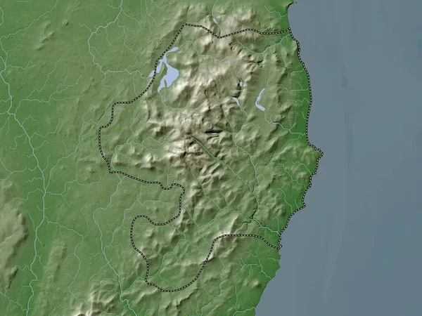
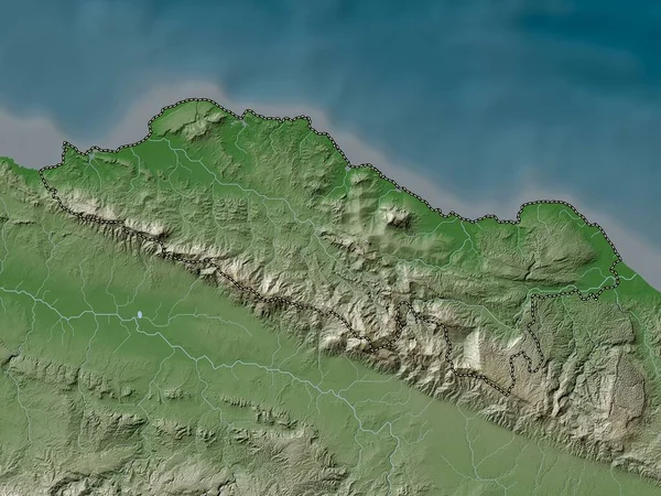
stock image Puerto Plata, province of Dominican Republic. Elevation map colored in wiki style with lakes and rivers

Puerto Plata, Province Of Dominican Republic. Elevation Map Colored In Wiki Style With Lakes And Rivers

3840 × 2880
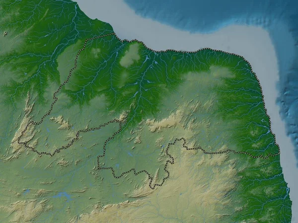
stock image Rio Grande do Norte, state of Brazil. Colored elevation map with lakes and rivers

Rio Grande Do Norte, State Of Brazil. Colored Elevation Map With Lakes And Rivers

3840 × 2880