Home
Images
Vectors
Videos
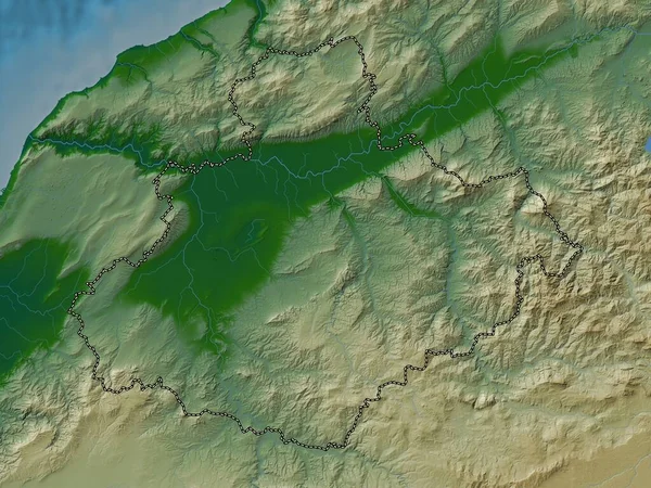
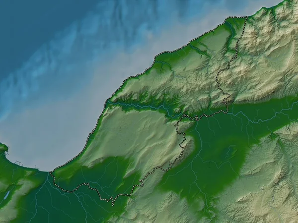
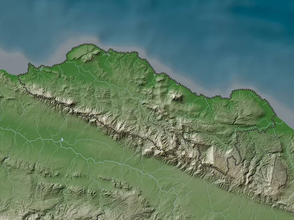
Stock image Mostaganem, province of Algeria. Colored elevation map with lakes and rivers
Published:
Sep.12, 2022 09:41:57
Author:
Yarr65
Views:
1
Downloads:
0
File type:
image
/
jpg
File size:
5.49 MB
Orginal size:
3840
x
2880
px
Available sizes:
S
(500 x 375)
M
(1000 x 750)
L
(2000 x 1500)
XL
(3840 x 2880)
EL0
(3840 x 2880)
Level:
bronze
Download Image
Image topics:
Shape
Nature
Border
Contour
Earth
Planet
World
Ocean
Science
Capital
Outline
Country
Map
Geography
Africa
Algeria
Continent
Land
Zoom
Region
Territory
Atlas
Province
Legend
Algiers
Stereographic
Mostaganem
Mansoura
Dza
Administrative Division
Remchi
Bensekrane
Hennaya
Ouled Mimoun
Nedroma
Sidi Senoussi
Sidi Abdelli
Beni Mester
Chetouane
Similar stock images
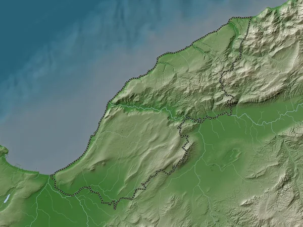
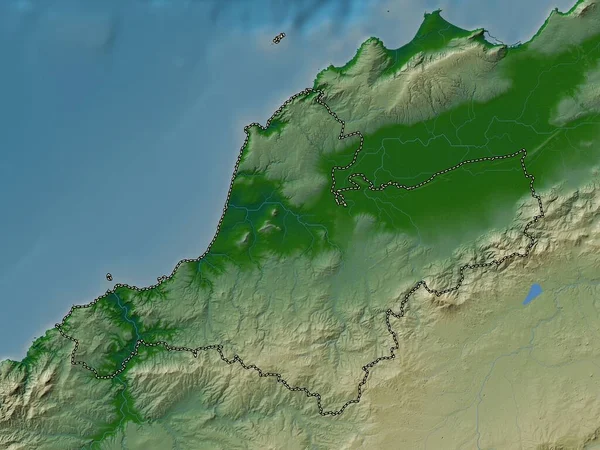
Mostaganem, Province Of Algeria. Elevation Map Colored In Wiki Style With Lakes And Rivers
3840 × 2880
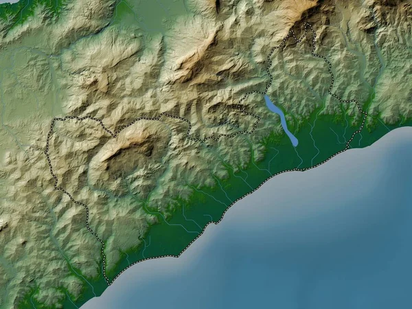
East Lothian, Region Of Scotland - Great Britain. Colored Elevation Map With Lakes And Rivers
3840 × 2880
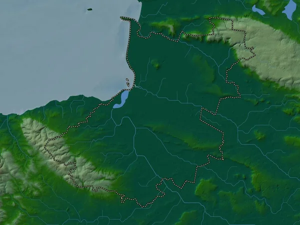
Puerto Plata, Province Of Dominican Republic. Elevation Map Colored In Wiki Style With Lakes And Rivers
3840 × 2880
Relizane, Province Of Algeria. Colored Elevation Map With Lakes And Rivers
3840 × 2880
Ain Temouchent, Province Of Algeria. Colored Elevation Map With Lakes And Rivers
3840 × 2880
Sedgemoor, Non Metropolitan District Of England - Great Britain. Colored Elevation Map With Lakes And Rivers
3840 × 2880
Covalima, Municipality Of East Timor. Colored Elevation Map With Lakes And Rivers
3840 × 2880
Annaba, Province Of Algeria. Colored Elevation Map With Lakes And Rivers
3840 × 2880