Home
Images
Vectors
Videos
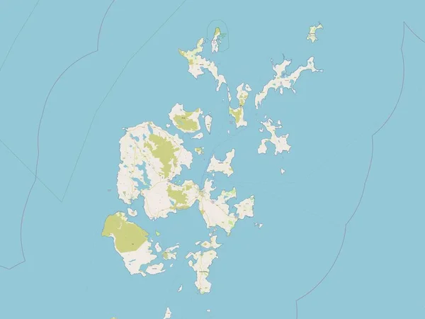
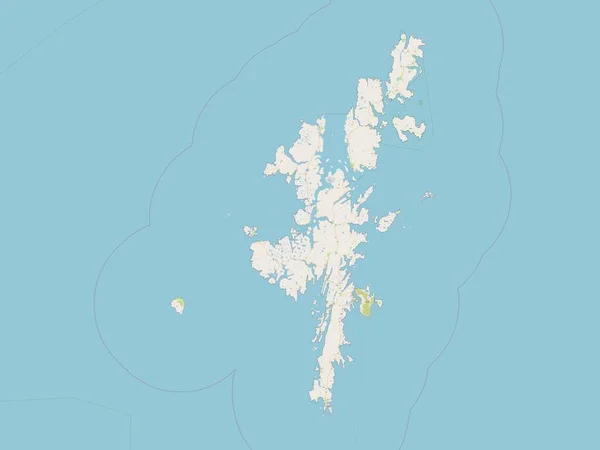
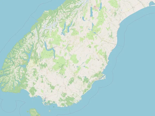
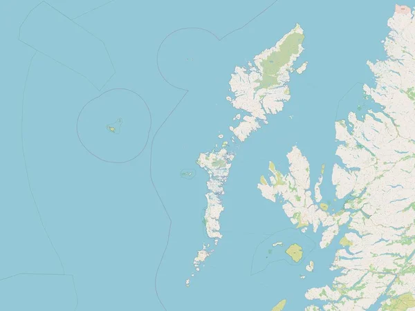
Stock image Faroe Islands outlined on a topographic, OSM standard style map
Published:
Dec.28, 2023 13:26:03
Author:
zelwanka
Views:
0
Downloads:
0
File type:
image
/
jpg
File size:
0.61 MB
Orginal size:
2688
x
1512
px
Available sizes:
S
(500 x 281)
M
(1000 x 563)
L
(2000 x 1125)
XL
(2688 x 1512)
EL0
(2688 x 1512)
Level:
beginner
Download Image
Image topics:
Shape
Nature
Standard
Border
Contour
Earth
Planet
World
Ocean
Science
Capital
Europe
Outline
Country
Map
Geography
Continent
Land
Zoom
Stroke
Region
Territory
Atlas
Stereographic
Torshavn
Fro
Faroe Islands
OSM
Administrative Division
Openstreet
Similar stock images
Orkney Islands, Region Of Scotland - Great Britain. Open Street Map
3840 × 2880
Shetland Islands, Region Of Scotland - Great Britain. Open Street Map
3840 × 2880
Otago, Regional Council Of New Zealand. Open Street Map
3840 × 2880
Falkland Islands Area On The Annual Precipitation Map In The Stereographic Projection - Raw Composition Of Raster Layers
2880 × 1620
Falkland Islands Area On The Topographic Relief Map In The Stereographic Projection - Raw Composition Of Raster Layers With Light Glowing Outline
2880 × 1620
Precipitation Of Driest Quarter Within The Falkland Islands Area In The Stereographic Projection With Legend - Raw Composition Of Raster Layers
2880 × 1620
Falkland Islands Area On The Satellite D Map In The Stereographic Projection - Raw Composition Of Raster Layers
2880 × 1620
Na H-Eileanan Siar, Region Of Scotland - Great Britain. Open Street Map
3840 × 2880