Home
Images
Vectors
Videos
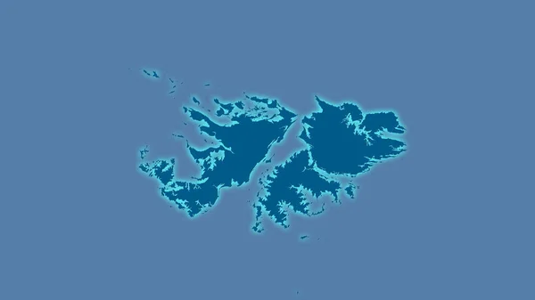
Stock image Falkland Islands area on the annual precipitation map in the stereographic projection - raw composition of raster layers
Published:
Aug.18, 2020 11:17:37
Author:
Yarr65
Views:
0
Downloads:
0
File type:
image
/
jpg
File size:
0.62 MB
Orginal size:
2880
x
1620
px
Available sizes:
S
(500 x 281)
M
(1000 x 563)
L
(2000 x 1125)
XL
(2880 x 1620)
EL0
(2880 x 1620)
Level:
bronze
Download Image
Image topics:
Isolated
Shape
Nature
Texture
Sea
Border
Global
Earth
Planet
World
Science
Capital
Elevation
Outline
Country
Map
Geography
Area
Land
Political
Projection
Shoreline
Territory
Atlas
Graticule
Bumped
Cartographic
Stereographic
Stanley
South America
Bathymetry
Falkland Islands
Raw Data
Annual Precipitation
Similar stock images
Falkland Islands Area On The Annual Precipitation Map In The Stereographic Projection - Raw Composition Of Raster Layers With Dark Glowing Outline
2880 × 1620
Map Of The Hebrides With Shadow
5000 × 4000
Aland, Region Of Finland. Solid Color Shape
3840 × 2880
Falkland Islands. Close-up Perspective Of The Country - No Outline. Shapes Only - Land/ocean Mask
2880 × 1620
Guernsey. Close-up Perspective Of The Country - No Outline. Shapes Only - Land/ocean Mask
2880 × 1620
Map Of The Shetlands With Shadow
5000 × 4000
Isometric Political Map Of Eurasia
8000 × 6000
Falkland Islands Area On The Solid Map In The Stereographic Projection - Raw Composition Of Raster Layers With Light Glowing Outline
2880 × 1620