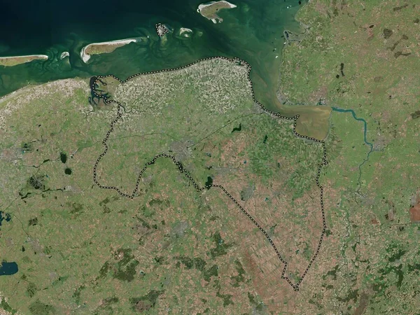
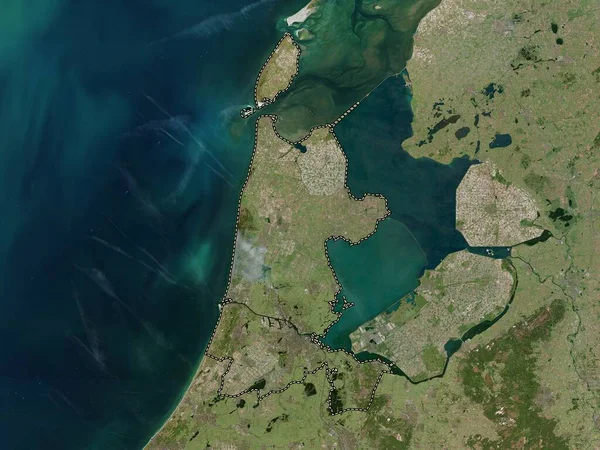
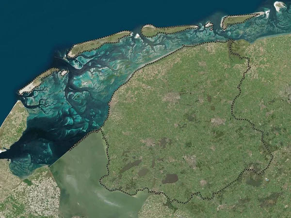
Stock image Friesland, province of Netherlands. High resolution satellite map

Published: Nov.02, 2022 15:16:44
Author: Yarr65
Views: 2
Downloads: 0
File type: image / jpg
File size: 7.94 MB
Orginal size: 3840 x 2880 px
Available sizes:
Level: bronze
Similar stock images
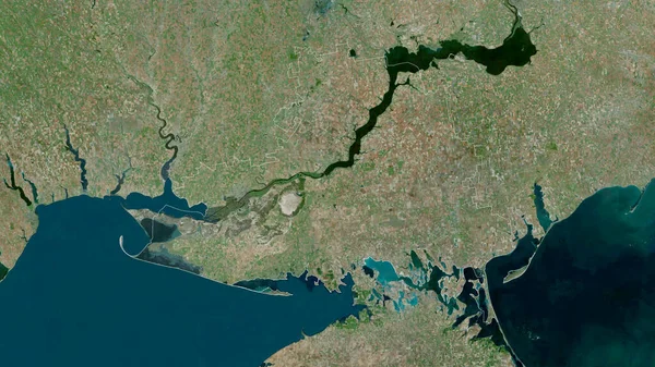
Kherson, Region Of Ukraine. Satellite Imagery. Shape Outlined Against Its Country Area. 3D Rendering
2880 × 1620