Home
Images
Vectors
Videos
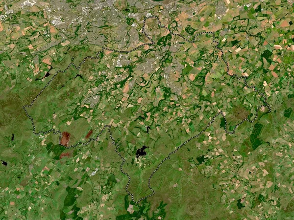
Stock image Gloucestershire, administrative county of England - Great Britain. Low resolution satellite map
Published:
May.05, 2023 12:04:42
Author:
Yarr65
Views:
0
Downloads:
0
File type:
image
/
jpg
File size:
10.01 MB
Orginal size:
3840
x
2880
px
Available sizes:
S
(500 x 375)
M
(1000 x 750)
L
(2000 x 1500)
XL
(3840 x 2880)
EL0
(3840 x 2880)
Level:
bronze
Download Image
Image topics:
Shape
Nature
Border
Contour
Earth
Planet
World
Ocean
Science
Capital
Europe
Outline
Country
Map
Geography
Continent
Land
Zoom
London
Region
Territory
Atlas
Legend
Gloucestershire
Stereographic
Gloucester
Cheltenham
Tetbury
Tewkesbury
GBR
Stroud
Stonehouse
Cirencester
Lydney
Wotton Under Edge
Dursley
Administrative Division
Chalford
Coleford
Cinderford
Administrative County
England Great Britain
Charlton Kings
Similar stock images
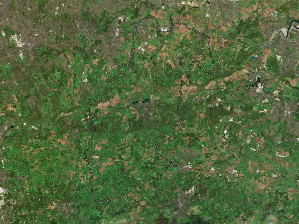
Staffordshire Moorlands, Non Metropolitan District Of England - Great Britain. Low Resolution Satellite Map
3840 × 2880
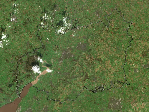
Ryedale, Non Metropolitan District Of England - Great Britain. Low Resolution Satellite Map
3840 × 2880
Rutland, Unitary Authority Of England - Great Britain. Low Resolution Satellite Map
3840 × 2880
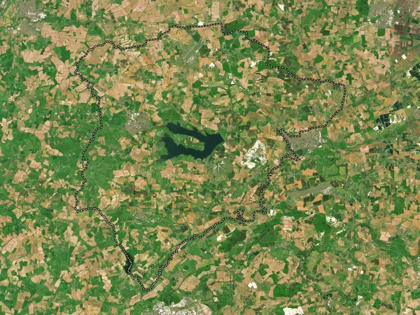
Harrogate, Non Metropolitan District Of England - Great Britain. Low Resolution Satellite Map
3840 × 2880
Sevenoaks, Non Metropolitan District Of England - Great Britain. Low Resolution Satellite Map
3840 × 2880
Midlothian, Region Of Scotland - Great Britain. Low Resolution Satellite Map
3840 × 2880
Darlington, Unitary Authority Of England - Great Britain. Low Resolution Satellite Map
3840 × 2880
Gyor-Moson-Sopron, County Of Hungary. High Resolution Satellite Map
3840 × 2880