Home
Images
Vectors
Videos
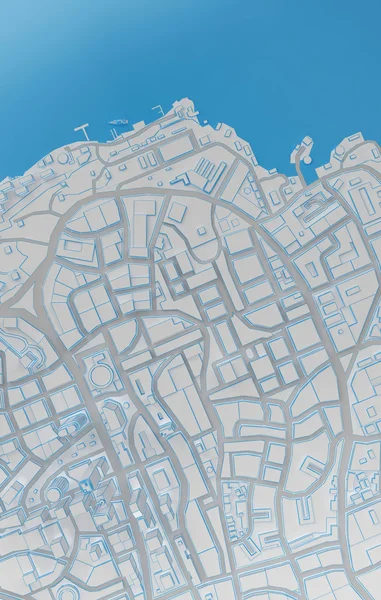
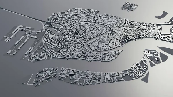
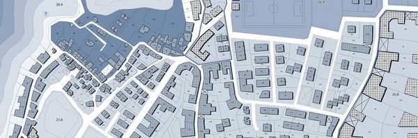
Stock image Imaginary cadastral map of territory with buildings, roads and land parcel - Imaginary cadastral map of territory with buildings, roads and land parcel - Web banner design concept
Published:
Dec.12, 2022 10:02:41
Author:
Francescoscatena
Views:
5
Downloads:
3
File type:
image
/
jpg
File size:
28.29 MB
Orginal size:
15000
x
5000
px
Available sizes:
S
(500 x 167)
M
(1000 x 333)
L
(2000 x 667)
XL
(15000 x 5000)
EL0
(15000 x 5000)
Level:
bronze
Download Image
Image topics:
Concepts
Ideas
Concept
Building
City
Construction
Urban
Planning
Copyspace
Relief
Town
Map
Cartography
Plan
Land
Apartment
Housing
Quarter
Planner
Topography
Place
Blueprint
Plot
Survey
Territory
Surveyor
Accomodation
Cartographer
Urbanism
Topographic
Surveying
Valuation
Cadastre
Copy Space
Construction Industry
City Planning
City Map
Cadastral
Fractionation
Buildable
Building Activity
Cadastral Parcel
Cadastral Map
Cadastral Survey
Zoning Plan
Similar stock images
Imaginary Cadastral Map Of Territory With Buildings, Roads And Land Parcel - Imaginary Cadastral Map Of Territory With Buildings, Roads And Land Parcel - Web Banner Design Concept
15000 × 5000
Coast City Top View. 3d Rendering
3500 × 5500
Retro Dutch City Map Of Dussen Located In Noord-Brabant. Vintage Street Map.
4724 × 7086
Venice 3d Map. 3d Illustration
10000 × 5625
A Generic City Map Illustration
7182 × 3499
Retro Dutch City Map Of Houwerzijl Located In Groningen. Vintage Street Map.
4724 × 7086