Home
Images
Vectors
Videos
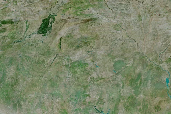
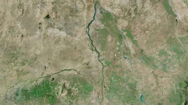
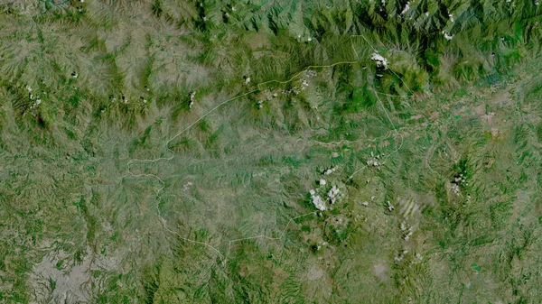
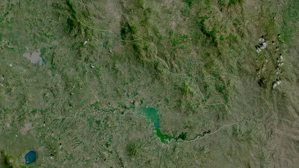
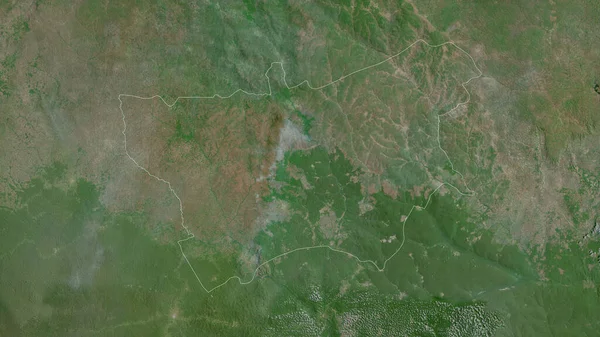
Stock image Jalapa, department of Guatemala. Satellite imagery. Shape outlined against its country area. 3D rendering
Published:
Jun.26, 2020 07:36:17
Author:
Yarr65
Views:
1
Downloads:
0
File type:
image
/
jpg
File size:
8.51 MB
Orginal size:
2880
x
1620
px
Available sizes:
S
(500 x 281)
M
(1000 x 563)
L
(2000 x 1125)
XL
(2880 x 1620)
EL0
(2880 x 1620)
Level:
bronze
Download Image
Image topics:
View
Shape
Travel
Nature
Border
Landscape
Glow
Contour
Scale
Earth
Planet
World
Ocean
Science
Capital
Profile
Outline
Country
Map
Cartography
Geography
Continent
Land
Zoom
Satellite
Department
Region
Territory
Outlined
Atlas
Legend
Overlay
Guatemala
Jalapa
3d Rendering
North America
Guatemala City
Subregion
Gtm
Administrative Division
Similar stock images
El Progreso, Department Of Guatemala. Satellite Imagery. Shape Outlined Against Its Country Area. 3D Rendering
2880 × 1620
Chiquimula, Department Of Guatemala. Satellite Imagery. Shape Outlined Against Its Country Area. 3D Rendering
2880 × 1620
Chalatenango, Department Of El Salvador. Satellite Imagery. Shape Outlined Against Its Country Area. 3D Rendering
2880 × 1620
Mambr-Kadei, Prefecture Of Central African Republic. Satellite Imagery. Shape Outlined Against Its Country Area. 3D Rendering
2880 × 1620
L'viv, Region Of Ukraine. Satellite Imagery. Shape Outlined Against Its Country Area. 3D Rendering
2880 × 1620
Extended Area Of Burkina Faso. Satellite Imagery. 3D Rendering
3000 × 2000
Kayes, Region Of Mali. Satellite Imagery. Shape Outlined Against Its Country Area. 3D Rendering
2880 × 1620
White Nile, State Of Sudan. Satellite Imagery. Shape Outlined Against Its Country Area. 3D Rendering
2880 × 1620