Home
Images
Vectors
Videos
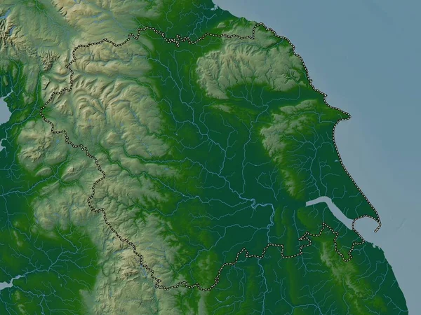
Stock image Lincolnshire, administrative county of England - Great Britain. Elevation map colored in wiki style with lakes and rivers
Published:
May.04, 2023 12:13:14
Author:
Yarr65
Views:
0
Downloads:
0
File type:
image
/
jpg
File size:
6.15 MB
Orginal size:
3840
x
2880
px
Available sizes:
S
(500 x 375)
M
(1000 x 750)
L
(2000 x 1500)
XL
(3840 x 2880)
EL0
(3840 x 2880)
Level:
bronze
Download Image
Image topics:
Shape
Nature
Border
Contour
Earth
Planet
World
Ocean
Science
Capital
Europe
Outline
Country
Map
Geography
Continent
Land
Zoom
London
Region
Territory
Atlas
Lincoln
Boston
Legend
Bourne
Stereographic
Spalding
Louth
Grantham
Lincolnshire
Gainsborough
GBR
Stamford
Waddington
Skegness
Mablethorpe
Administrative Division
Holbeach
Horncastle
Administrative County
England Great Britain
Similar stock images
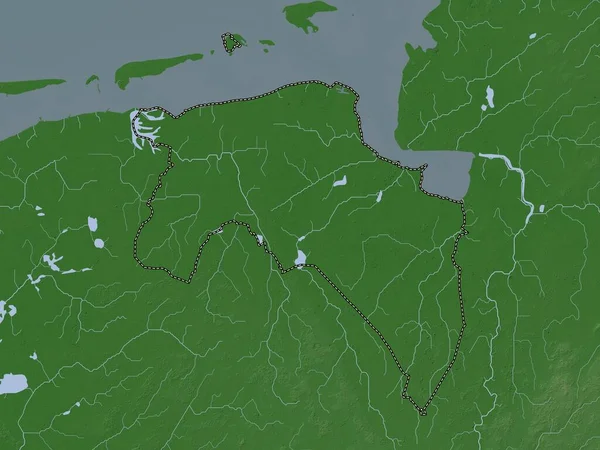
East Midlands, Region Of United Kingdom. Elevation Map Colored In Wiki Style With Lakes And Rivers
3840 × 2880
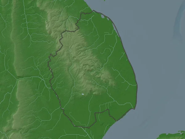
Pomeroon-Supenaam, Region Of Guyana. Elevation Map Colored In Wiki Style With Lakes And Rivers
3840 × 2880
East Lindsey, Non Metropolitan District Of England - Great Britain. Elevation Map Colored In Wiki Style With Lakes And Rivers
3840 × 2880
Norfolk, Administrative County Of England - Great Britain. Elevation Map Colored In Wiki Style With Lakes And Rivers
3840 × 2880
East Riding Of Yorkshire, Unitary Authority Of England - Great Britain. Elevation Map Colored In Wiki Style With Lakes And Rivers
3840 × 2880
Somerset West And Taunton, Non Metropolitan District Of England - Great Britain. Elevation Map Colored In Wiki Style With Lakes And Rivers
3840 × 2880
Yorkshire And The Humber, Region Of United Kingdom. Colored Elevation Map With Lakes And Rivers
3840 × 2880
Groningen, Province Of Netherlands. Elevation Map Colored In Wiki Style With Lakes And Rivers
3840 × 2880