Home
Images
Vectors
Videos
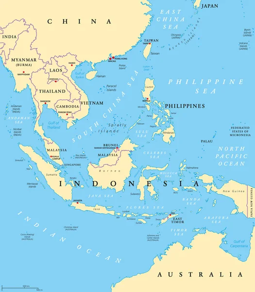
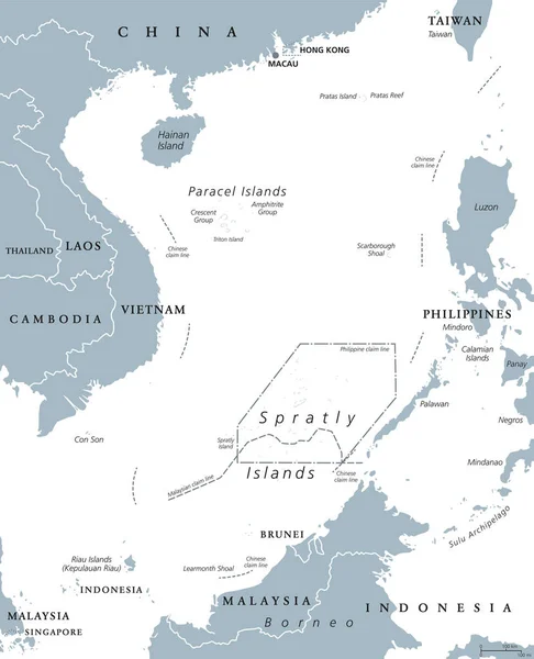
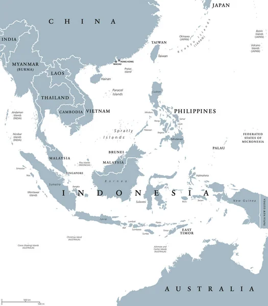
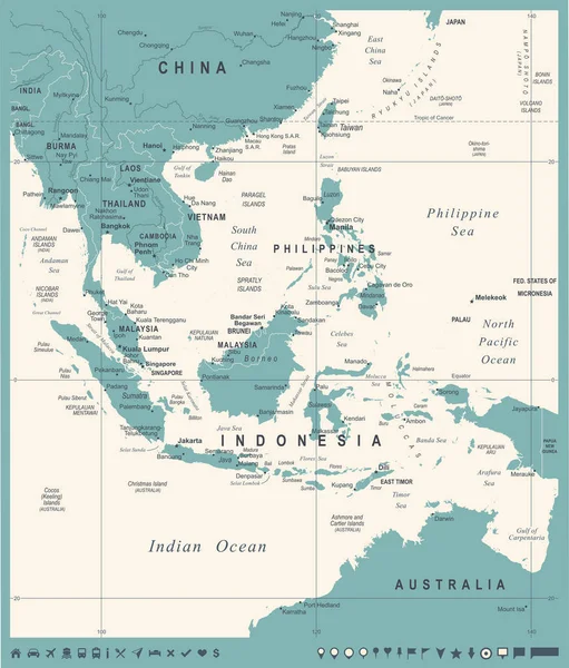
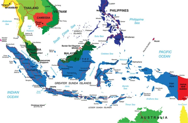
Stock image Map of Indonesia
Published:
May.31, 2012 07:29:39
Author:
lina0486
Views:
826
Downloads:
3
File type:
image
/
jpg
File size:
1.53 MB
Orginal size:
2700
x
3200
px
Available sizes:
S
(422 x 500)
M
(844 x 1000)
L
(1688 x 2000)
XL
(2700 x 3200)
EL0
(2700 x 3200)
Level:
bronze
Download Image
Image topics:
Blue
Background
Illustration
New
Travel
Border
Text
With
China
South
Map
Cartography
Geography
Land
Asia
Vietnam
Thailand
Topography
Countries
Australia
Of
Java
Islands
The
Malaysia
Patriotic
Taiwan
Nation
Indonesia
Inscriptions
GUINEA
Cambodia
Malaysian
Philippines
Laos
Burma
Sudeste
Asiatico
Similar stock images
Southeast Asia, Political Map With Capitals And Borders. Subregion Of Asia With Countries South Of China, East Of India, West Of New Guinea, North Of Australia. English Labeling. Illustration. Vector.
7292 × 8333
East Asia Political Map
7303 × 8766
South China Sea Islands Political Map
7209 × 8888
Southeast Asia Political Map
7486 × 8555
Southeast Asia Map - Vintage Vector Illustration
5500 × 6450
Southeast Asia Political Divisions
5257 × 6014
Indonesia Detailed Vector Map With Country Borders, County Names, Main Roads And A Highly Detailed State Silhouette.
5000 × 3273
Oceania, Political Map. Australia And The Pacific, Including New Zealand. Geographic Region, Southeast Of The Asia-Pacific Region, Including Australasia, Melanesia, Micronesia And Polynesia. Vector.
9000 × 6000