Home
Images
Vectors
Videos
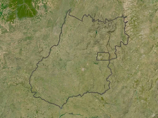
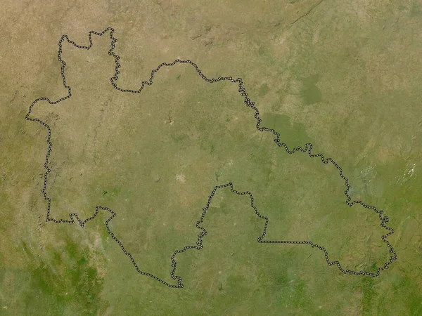
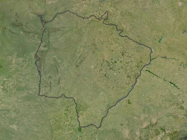
Stock image Mato Grosso do Sul, state of Brazil. Low resolution satellite map
Published:
Sep.19, 2022 06:12:06
Author:
Yarr65
Views:
2
Downloads:
0
File type:
image
/
jpg
File size:
9.19 MB
Orginal size:
3840
x
2880
px
Available sizes:
S
(500 x 375)
M
(1000 x 750)
L
(2000 x 1500)
XL
(3840 x 2880)
EL0
(3840 x 2880)
Level:
bronze
Download Image
Image topics:
Shape
Nature
Border
Contour
Earth
Planet
World
Ocean
Science
Capital
Outline
Country
Map
Geography
Continent
Land
Zoom
State
Region
Brazil
Territory
Atlas
Legend
Brasilia
Stereographic
South America
Campo Grande
Mato Grosso Do Sul
Alvorada
Araguaina
Arraias
Administrative Division
Gurupi
Miracema Do Tocantins
Taguatinga
Similar stock images
Vallee Du Bandama, District Of Cote D'Ivoire. High Resolution Satellite Map
3840 × 2880
Hrodna, Region Of Belarus. Low Resolution Satellite Map
3840 × 2880
North East, Region Of Ghana. High Resolution Satellite Map
3840 × 2880
Bamingui-Bangoran, Prefecture Of Central African Republic. Low Resolution Satellite Map
3840 × 2880
Sachsen-Anhalt, State Of Germany. Low Resolution Satellite Map
3840 × 2880
Kakamega, County Of Kenya. High Resolution Satellite Map
3840 × 2880
Goias, State Of Brazil. Low Resolution Satellite Map
3840 × 2880
Savanes, District Of Cote D'Ivoire. Low Resolution Satellite Map
3840 × 2880