Home
Images
Vectors
Videos
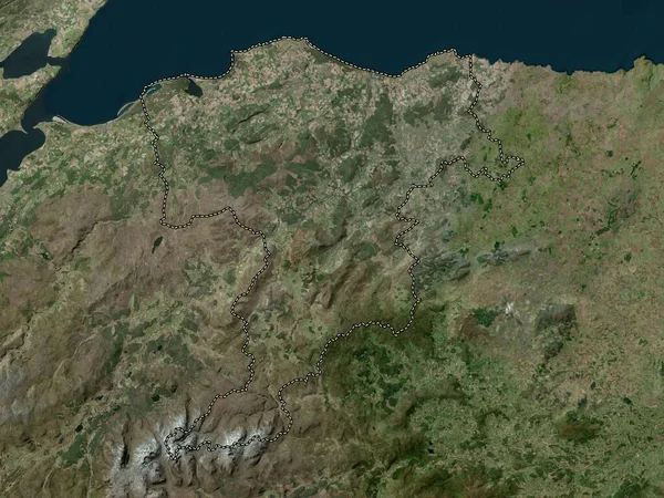
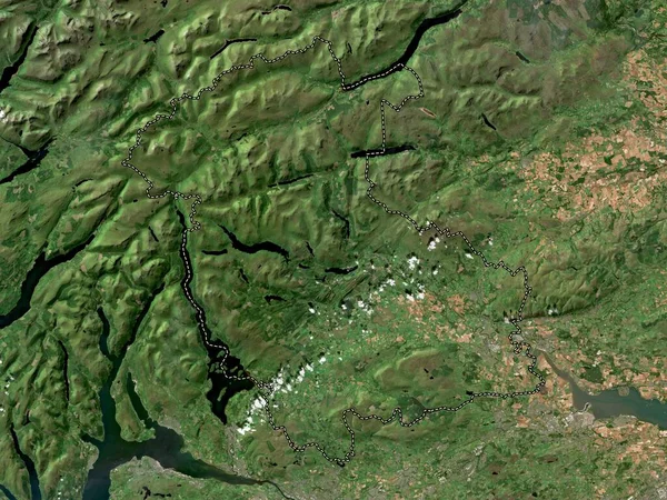
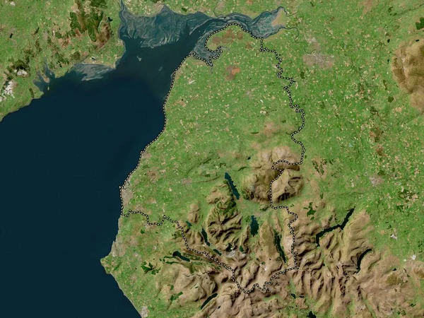
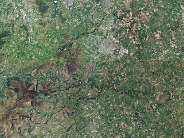
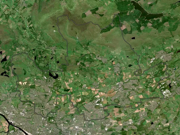
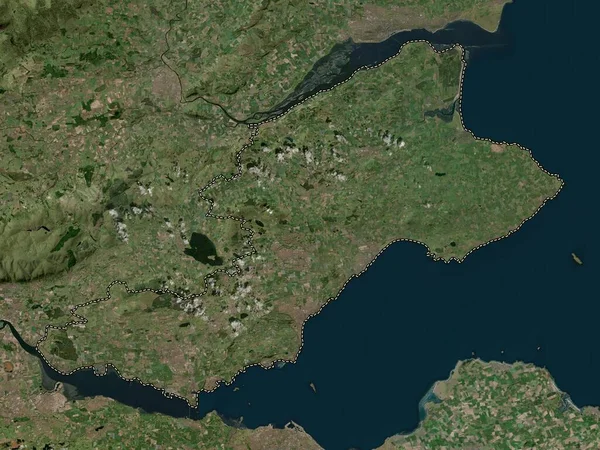
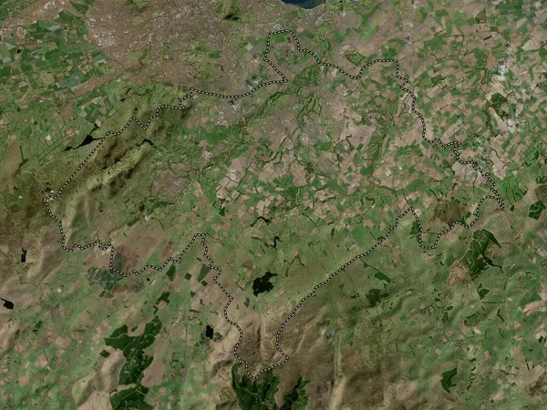
Stock image Midlothian, region of Scotland - Great Britain. High resolution satellite map
Published:
Apr.21, 2023 13:51:31
Author:
Yarr65
Views:
0
Downloads:
0
File type:
image
/
jpg
File size:
6.79 MB
Orginal size:
3840
x
2880
px
Available sizes:
S
(500 x 375)
M
(1000 x 750)
L
(2000 x 1500)
XL
(3840 x 2880)
EL0
(3840 x 2880)
Level:
bronze
Download Image
Image topics:
Shape
Nature
Border
Contour
Earth
Planet
World
Ocean
Science
Capital
Europe
Outline
Country
Map
Geography
Continent
Land
Zoom
Region
Territory
Atlas
Legend
Edinburgh
Stereographic
Mayfield
Fala
Midlothian
GBR
Administrative Division
Penicuik
Pathhead
Dalkeith
Bonnyrigg
Gorebridge
Loanhead
Bilston
Scotland Great Britain
Howgate
Danderhall
Polton
Newton Village
Rosewell
Millerhill
Similar stock images
Moray, Region Of Scotland - Great Britain. High Resolution Satellite Map
3840 × 2880
Stirling, Region Of Scotland - Great Britain. Low Resolution Satellite Map
3840 × 2880
Allerdale, Non Metropolitan District Of England - Great Britain. High Resolution Satellite Map
3840 × 2880
Wrexham, Region Of Wales - Great Britain. High Resolution Satellite Map
3840 × 2880
Monmouthshire, Region Of Wales - Great Britain. High Resolution Satellite Map
3840 × 2880
East Dunbartonshire, Region Of Scotland - Great Britain. Low Resolution Satellite Map
3840 × 2880
Renfrewshire, Region Of Scotland - Great Britain. Low Resolution Satellite Map
3840 × 2880
Fife, Region Of Scotland - Great Britain. High Resolution Satellite Map
3840 × 2880