Home
Images
Vectors
Videos
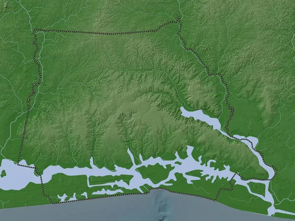
Stock image New Forest, non metropolitan district of England - Great Britain. Elevation map colored in wiki style with lakes and rivers
Published:
Apr.21, 2023 14:59:27
Author:
Yarr65
Views:
1
Downloads:
0
File type:
image
/
jpg
File size:
6.2 MB
Orginal size:
3840
x
2880
px
Available sizes:
S
(500 x 375)
M
(1000 x 750)
L
(2000 x 1500)
XL
(3840 x 2880)
EL0
(3840 x 2880)
Level:
bronze
Download Image
Image topics:
Shape
Nature
Border
Contour
Earth
Planet
World
Ocean
Science
Capital
Europe
Outline
Country
Map
Geography
Continent
Land
Zoom
London
Region
Sway
Territory
Atlas
Legend
Stereographic
GBR
New Forest
Lyndhurst
Milford On Sea
Lymington
Ringwood
Brockenhurst
Fordingbridge
Administrative Division
New Milton
Totton
Marchwood
England Great Britain
Non Metropolitan District
Copythorne
Bransgore
Similar stock images
Braintree, Non Metropolitan District Of England - Great Britain. Elevation Map Colored In Wiki Style With Lakes And Rivers
3840 × 2880
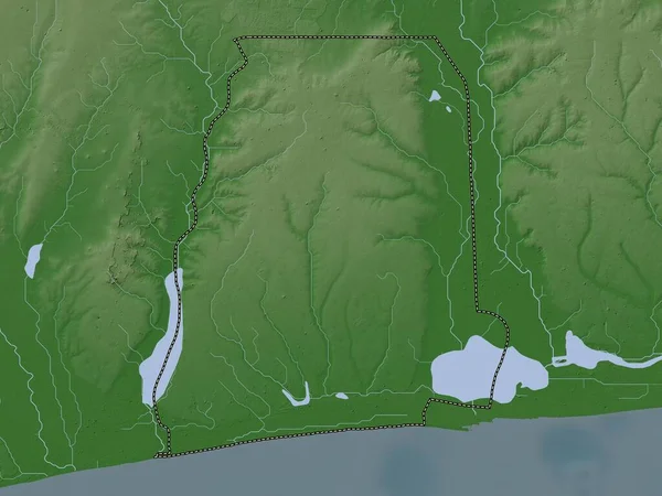
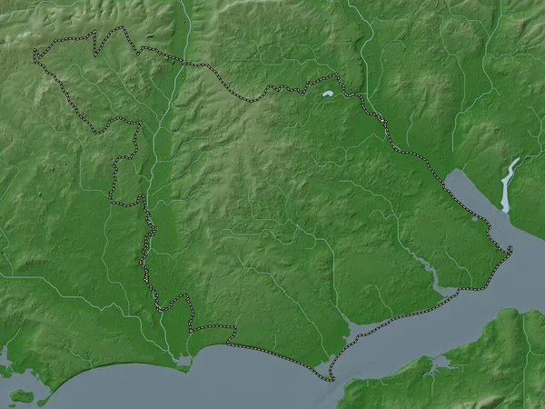
Abidjan, Autonomous District Of Cote D'Ivoire. Elevation Map Colored In Wiki Style With Lakes And Rivers
3840 × 2880
Atlantique, Department Of Benin. Elevation Map Colored In Wiki Style With Lakes And Rivers
3840 × 2880
East Lindsey, Non Metropolitan District Of England - Great Britain. Elevation Map Colored In Wiki Style With Lakes And Rivers
3840 × 2880
Mono, Department Of Benin. Elevation Map Colored In Wiki Style With Lakes And Rivers
3840 × 2880
Lincolnshire, Administrative County Of England - Great Britain. Elevation Map Colored In Wiki Style With Lakes And Rivers
3840 × 2880
Bremen, State Of Germany. Elevation Map Colored In Wiki Style With Lakes And Rivers
3840 × 2880
Chichester, Non Metropolitan District Of England - Great Britain. Elevation Map Colored In Wiki Style With Lakes And Rivers
3840 × 2880