Home
Images
Vectors
Videos
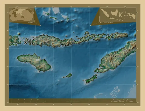
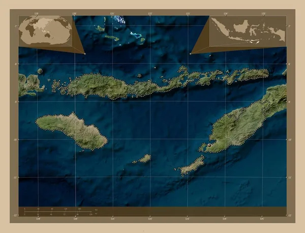
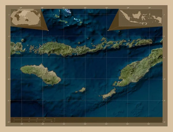
Stock image Nusa Tenggara Timur, province of Indonesia. Low resolution satellite map. Corner auxiliary location maps
Published:
Oct.11, 2022 10:18:43
Author:
Yarr65
Views:
3
Downloads:
0
File type:
image
/
jpg
File size:
6.29 MB
Orginal size:
4930
x
3770
px
Available sizes:
S
(500 x 382)
M
(1000 x 765)
L
(2000 x 1529)
XL
(4930 x 3770)
EL0
(4930 x 3770)
Level:
bronze
Download Image
Image topics:
Shape
Nature
Border
Contour
Earth
Planet
World
Ocean
Science
Capital
Outline
Country
Map
Geography
Continent
Land
Zoom
Asia
Region
Territory
Atlas
Province
Indonesia
Legend
Jakarta
Stereographic
Kupang
Idn
Nusa Tenggara Timur
Administrative Division
Similar stock images
Nusa Tenggara Timur, Province Of Indonesia. Low Resolution Satellite Map. Locations Of Major Cities Of The Region. Corner Auxiliary Location Maps
4930 × 3770
Nusa Tenggara Timur, Province Of Indonesia. Low Resolution Satellite Map. Locations And Names Of Major Cities Of The Region. Corner Auxiliary Location Maps
4930 × 3770
Maluku Utara, Province Of Indonesia. Low Resolution Satellite Map. Locations Of Major Cities Of The Region. Corner Auxiliary Location Maps
4930 × 3770
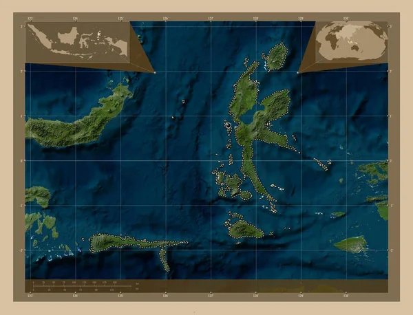
Maluku Utara, Province Of Indonesia. Low Resolution Satellite Map. Corner Auxiliary Location Maps
4930 × 3770
Nusa Tenggara Timur, Province Of Indonesia. Colored Elevation Map With Lakes And Rivers. Locations Of Major Cities Of The Region. Corner Auxiliary Location Maps
4930 × 3770
Nusa Tenggara Timur, Province Of Indonesia. High Resolution Satellite Map. Corner Auxiliary Location Maps
4930 × 3770
Maluku Utara, Province Of Indonesia. High Resolution Satellite Map. Locations Of Major Cities Of The Region. Corner Auxiliary Location Maps
4930 × 3770
Nusa Tenggara Timur, Province Of Indonesia. Colored Elevation Map With Lakes And Rivers. Locations And Names Of Major Cities Of The Region. Corner Auxiliary Location Maps
4930 × 3770