Home
Images
Vectors
Videos
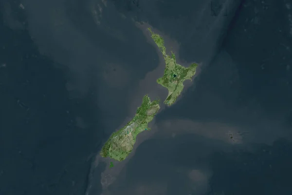
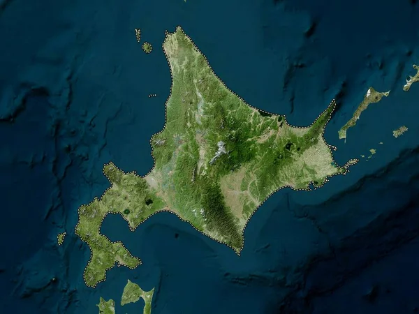
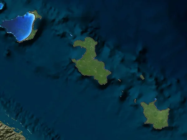
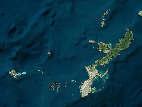
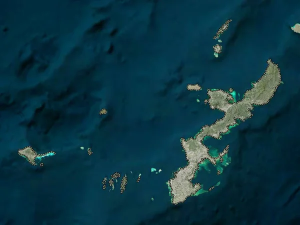
Stock image Okinawa, prefecture of Japan. Low resolution satellite map
Published:
Oct.13, 2022 10:01:29
Author:
Yarr65
Views:
1
Downloads:
0
File type:
image
/
jpg
File size:
3.34 MB
Orginal size:
3840
x
2880
px
Available sizes:
S
(500 x 375)
M
(1000 x 750)
L
(2000 x 1500)
XL
(3840 x 2880)
EL0
(3840 x 2880)
Level:
bronze
Download Image
Image topics:
Shape
Nature
Border
Contour
Earth
Planet
World
Ocean
Science
Capital
Outline
Country
Map
Geography
Continent
Land
Zoom
Asia
Japan
Tokyo
Region
Prefecture
Territory
Atlas
Legend
Okinawa
Stereographic
Naha
Jpn
Nambu
Fujikawaguchiko
Fujiyoshida
Nirasaki
Otsuki
Oshino
Hokuto
Administrative Division
Hayakawa
Uenohara
Enzan
Similar stock images
Okinawa, Prefecture Of Japan. High Resolution Satellite Map
3840 × 2880
Hokkaido, Circuit Of Japan. Elevation Map Colored In Wiki Style With Lakes And Rivers
3840 × 2880
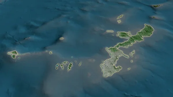
Okinawa - Prefecture Of Japan Zoomed And Highlighted With Capital. Satellite Imagery. 3D Rendering
2880 × 1620
Shape Of New Zealand Separated By The Desaturation Of Neighboring Areas. Satellite Imagery. 3D Rendering
3000 × 2000
Hokkaido, Circuit Of Japan. High Resolution Satellite Map
3840 × 2880
Crete, Decentralized Administration Of Greece. Satellite Imagery. Shape Outlined Against Its Country Area. 3D Rendering
2880 × 1620
Extended Area Of Outlined New Zealand. Topographic Relief Map. 3D Rendering
3000 × 2000
Iles Loyaute, Province Of New Caledonia. Low Resolution Satellite Map
3840 × 2880