Home
Images
Vectors
Videos
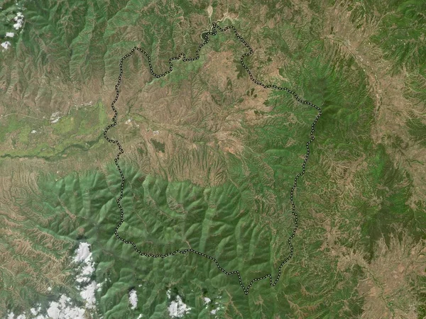
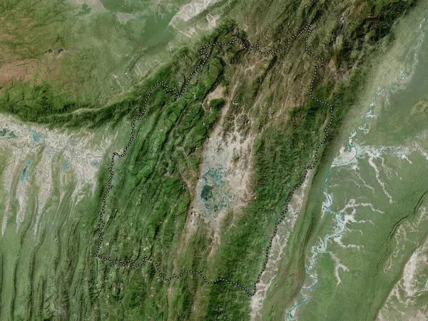
Stock image Phu Tho, province of Vietnam. High resolution satellite map
Published:
Apr.21, 2023 13:16:01
Author:
Yarr65
Views:
0
Downloads:
0
File type:
image
/
jpg
File size:
10.7 MB
Orginal size:
3840
x
2880
px
Available sizes:
S
(500 x 375)
M
(1000 x 750)
L
(2000 x 1500)
XL
(3840 x 2880)
EL0
(3840 x 2880)
Level:
bronze
Download Image
Image topics:
Shape
Nature
Border
Contour
Earth
Planet
World
Ocean
Science
Capital
Outline
Country
Map
Geography
Continent
Land
Zoom
Asia
Vietnam
Hanoi
Region
Territory
Atlas
Province
Legend
Stereographic
Vnm
Administrative Division
Viet Tri
Phu Tho
Similar stock images
Thai Nguyen, Province Of Vietnam. High Resolution Satellite Map
3840 × 2880
Ha Noi City Of Vietnam. Satellite Imagery. Shape Outlined Against Its Country Area. 3D Rendering
2880 × 1620
Vinitsa, Municipality Of Macedonia. High Resolution Satellite Map
3840 × 2880
Phu Tho, Province Of Vietnam. Satellite Imagery. Shape Outlined Against Its Country Area. 3D Rendering
2880 × 1620
Bolikhamxai, Province Of Laos. High Resolution Satellite Map
3840 × 2880
Hoa Binh, Province Of Vietnam. High Resolution Satellite Map
3840 × 2880
Manipur, State Of India. High Resolution Satellite Map
3840 × 2880
Kaesong, Special Administrative Region Of North Korea. Low Resolution Satellite Map
3840 × 2880