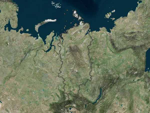
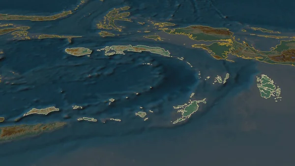
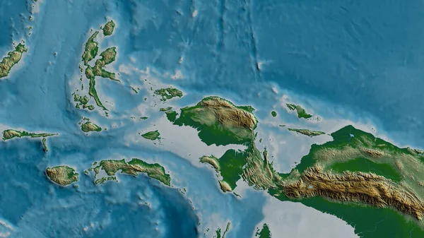
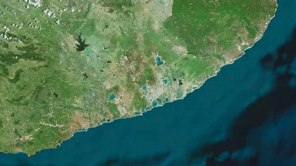
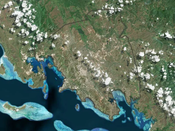
Stock image Port Moresby, district of Papua New Guinea. Low resolution satellite map
Published: Jan.30, 2023 14:24:40
Author: Yarr65
Views: 10
Downloads: 0
File type: image / jpg
File size: 7.05 MB
Orginal size: 3840 x 2880 px
Available sizes:
Level: bronze