photo free
Home Images Vectors Videos

Stock image Pulau Kur in the Banda Sea - belonging to Indonesia. Described location diagram with yellow shape of the island and sample maps of its surroundings

Stock image Pulau Kur in the Banda Sea - belonging to Indonesia. Described location diagram with yellow shape of the island and sample maps of its surroundings
Published: Sep.11, 2024 14:31:44
Author: zelwanka
Views: 0
Downloads: 0
File type: image / jpg
File size: 1.88 MB
Orginal size: 3840 x 2160 px
Available sizes:
S
(500 x 281)
M
(1000 x 563)
L
(2000 x 1125)
XL
(3840 x 2160)
EL0
(3840 x 2160)
Level: beginner
Download Image
Image topics:

Similar stock images

stock image Ainaro, municipality of East Timor. Diagram showing the location of the region on larger-scale maps. Composition of vector frames and PNG shapes on a solid background

Ainaro, Municipality Of East Timor. Diagram Showing The Location Of The Region On Larger-scale Maps. Composition Of Vector Frames And PNG Shapes On A Solid Background

4930 × 3770
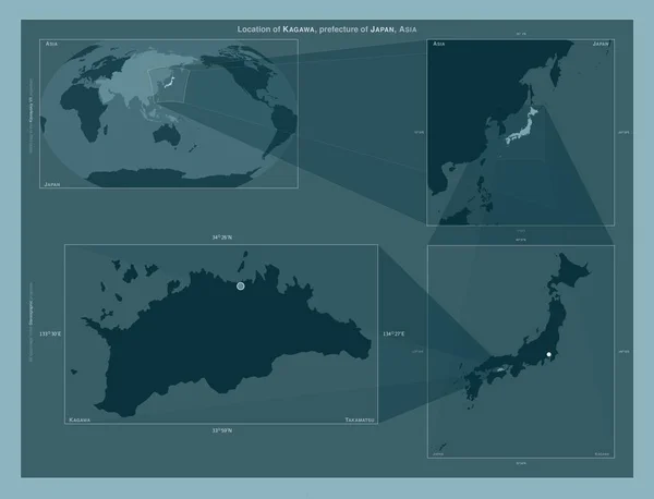
stock image Kagawa, prefecture of Japan. Diagram showing the location of the region on larger-scale maps. Composition of vector frames and PNG shapes on a solid background

Kagawa, Prefecture Of Japan. Diagram Showing The Location Of The Region On Larger-scale Maps. Composition Of Vector Frames And PNG Shapes On A Solid Background

4930 × 3770
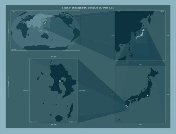
stock image Kagoshima, prefecture of Japan. Diagram showing the location of the region on larger-scale maps. Composition of vector frames and PNG shapes on a solid background

Kagoshima, Prefecture Of Japan. Diagram Showing The Location Of The Region On Larger-scale Maps. Composition Of Vector Frames And PNG Shapes On A Solid Background

4930 × 3770
stock image Grenada highlighted on a high resolution satellite map map with the country's capital point, cartographic grid, distance scale and map border coordinates

Grenada Highlighted On A High Resolution Satellite Map Map With The Country's Capital Point, Cartographic Grid, Distance Scale And Map Border Coordinates

2880 × 1620
stock image Ialoveni, district of Moldova. Diagram showing the location of the region on larger-scale maps. Composition of vector frames and PNG shapes on a solid background

Ialoveni, District Of Moldova. Diagram Showing The Location Of The Region On Larger-scale Maps. Composition Of Vector Frames And PNG Shapes On A Solid Background

4930 × 3770
stock image Grenada highlighted on a low resolution satellite map map with the country's capital point, cartographic grid, distance scale and map border coordinates

Grenada Highlighted On A Low Resolution Satellite Map Map With The Country's Capital Point, Cartographic Grid, Distance Scale And Map Border Coordinates

2880 × 1620
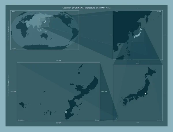
stock image Okinawa, prefecture of Japan. Diagram showing the location of the region on larger-scale maps. Composition of vector frames and PNG shapes on a solid background

Okinawa, Prefecture Of Japan. Diagram Showing The Location Of The Region On Larger-scale Maps. Composition Of Vector Frames And PNG Shapes On A Solid Background

4930 × 3770
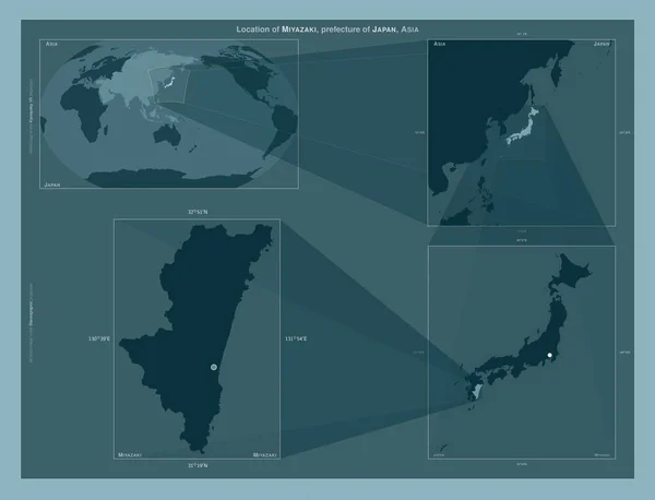
stock image Miyazaki, prefecture of Japan. Diagram showing the location of the region on larger-scale maps. Composition of vector frames and PNG shapes on a solid background

Miyazaki, Prefecture Of Japan. Diagram Showing The Location Of The Region On Larger-scale Maps. Composition Of Vector Frames And PNG Shapes On A Solid Background

4930 × 3770