photo free
Home Images Vectors Videos

Stock image Pulau Roon in the South Pacific Ocean, belonging to Indonesia, isolated on a topographic, OSM Humanitarian style map, with distance scale

Stock image Pulau Roon in the South Pacific Ocean, belonging to Indonesia, isolated on a topographic, OSM Humanitarian style map, with distance scale
Published: Sep.11, 2024 14:01:59
Author: zelwanka
Views: 0
Downloads: 0
File type: image / jpg
File size: 0.31 MB
Orginal size: 2160 x 2160 px
Available sizes:
S
(500 x 500)
M
(1000 x 1000)
L
(2000 x 2000)
XL
(2160 x 2160)
EL0
(2160 x 2160)
Level: beginner
Download Image
Image topics:

Similar stock images

stock image Shape of a topographic, OSM standard style map of the North Korea, with distance scale and map border coordinates, isolated on white

Shape Of A Topographic, OSM Standard Style Map Of The North Korea, With Distance Scale And Map Border Coordinates, Isolated On White

2032 × 2214
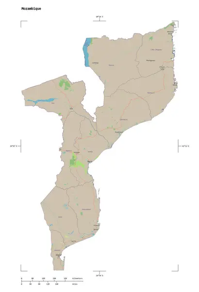
stock image Shape of a topographic, OSM standard style map of the Mozambique, with distance scale and map border coordinates, isolated on white

Shape Of A Topographic, OSM Standard Style Map Of The Mozambique, With Distance Scale And Map Border Coordinates, Isolated On White

1755 × 2564
stock image Shape of a topographic, OSM standard style map of the Morocco, with distance scale and map border coordinates, isolated on white

Shape Of A Topographic, OSM Standard Style Map Of The Morocco, With Distance Scale And Map Border Coordinates, Isolated On White

2120 × 2121
stock image Shape of a topographic, OSM standard style map of the Laos, with distance scale and map border coordinates, isolated on white

Shape Of A Topographic, OSM Standard Style Map Of The Laos, With Distance Scale And Map Border Coordinates, Isolated On White

1970 × 2283
stock image Shape of a topographic, OSM standard style map of the Tajikistan, with distance scale and map border coordinates, isolated on white

Shape Of A Topographic, OSM Standard Style Map Of The Tajikistan, With Distance Scale And Map Border Coordinates, Isolated On White

2467 × 1823
stock image Shape of a topographic, OSM Humanitarian style map of the North Korea, with distance scale and map border coordinates, isolated on black

Shape Of A Topographic, OSM Humanitarian Style Map Of The North Korea, With Distance Scale And Map Border Coordinates, Isolated On Black

2032 × 2214
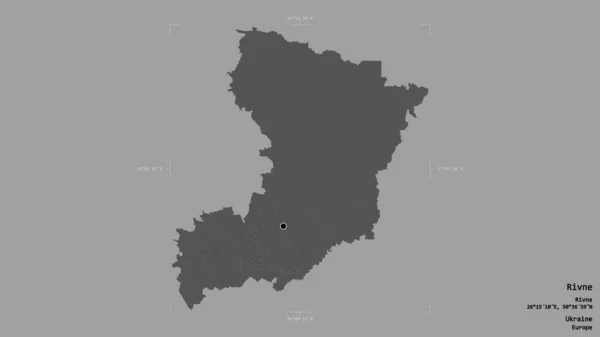
stock image Area of Rivne, region of Ukraine, isolated on a solid background in a georeferenced bounding box. Labels. Bilevel elevation map. 3D rendering

Area Of Rivne, Region Of Ukraine, Isolated On A Solid Background In A Georeferenced Bounding Box. Labels. Bilevel Elevation Map. 3D Rendering

2880 × 1620
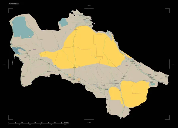
stock image Shape of a topographic, OSM France style map of the Turkmenistan, with distance scale and map border coordinates, isolated on black

Shape Of A Topographic, OSM France Style Map Of The Turkmenistan, With Distance Scale And Map Border Coordinates, Isolated On Black

2494 × 1804