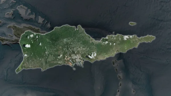
Stock image Saint Martin area enlarged and glowed on a darkened background of its surroundings. Satellite imagery

Published: Jun.19, 2020 13:17:21
Author: Yarr65
Views: 0
Downloads: 0
File type: image / jpg
File size: 1.69 MB
Orginal size: 3840 x 2160 px
Available sizes:
Level: bronze
Similar stock images
Saint Croix Island Area Enlarged And Glowed On A Darkened Background Of Its Surroundings. Satellite Imagery
3840 × 2160
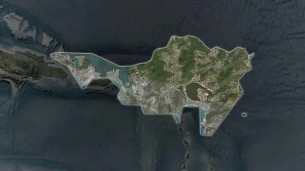
Sint Maarten Area Enlarged And Glowed On A Darkened Background Of Its Surroundings. Satellite Imagery
3840 × 2160