Home
Images
Vectors
Videos
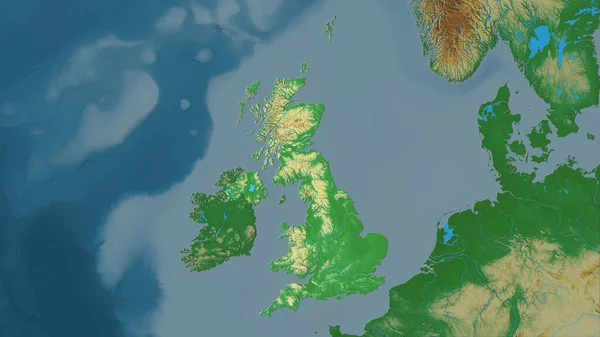
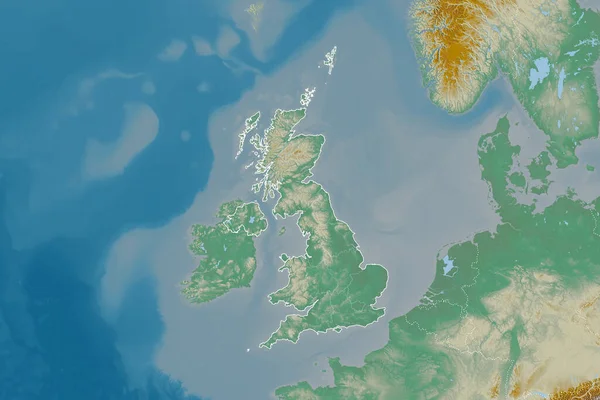
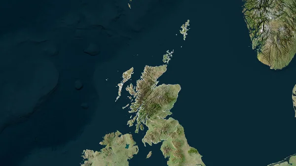
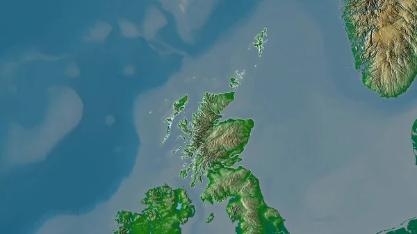
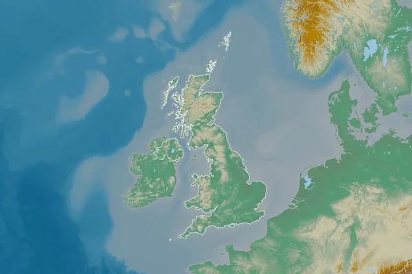
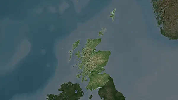
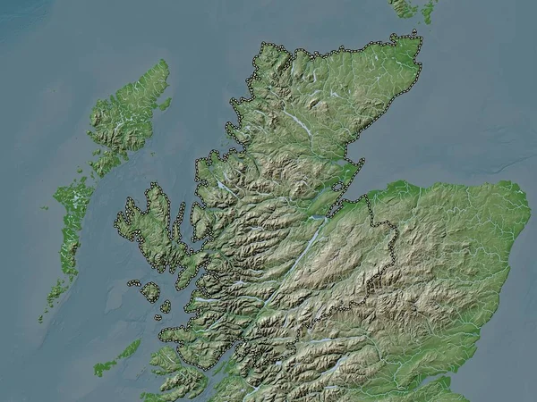
Stock image Scotland - Great Britain highlighted on a Pale colored elevation map with lakes and rivers
Published:
Mar.04, 2024 11:04:00
Author:
zelwanka
Views:
0
Downloads:
0
File type:
image
/
jpg
File size:
2.64 MB
Orginal size:
2688
x
1512
px
Available sizes:
S
(500 x 281)
M
(1000 x 563)
L
(2000 x 1125)
XL
(2688 x 1512)
EL0
(2688 x 1512)
Level:
beginner
Download Image
Image topics:
Shape
Nature
Border
Pale
Contour
Earth
Planet
World
Ocean
Science
Capital
Europe
Elevation
Outline
Country
Map
Geography
Continent
Land
Zoom
Region
Territory
Atlas
Highlighted
Overlay
Edinburgh
Stereographic
GBR
Administrative Division
Scotland Great Britain
Similar stock images
Zoom In On Scotland (region Of United Kingdom) Outlined. Oblique Perspective. Topographic Relief Map With Surface Waters. 3D Rendering
3840 × 2160
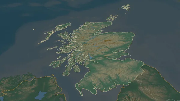
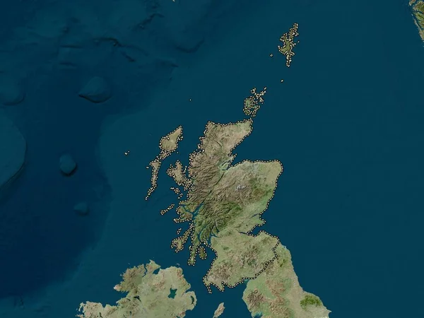
Highland, Region Of Scotland - Great Britain. Elevation Map Colored In Wiki Style With Lakes And Rivers
3840 × 2880
United Kingdom Area On The Topographic Relief Map In The Stereographic Projection - Raw Composition Of Raster Layers
2880 × 1620
Extended Area Of United Kingdom With Country Outline, International And Regional Borders. Topographic Relief Map. 3D Rendering
3000 × 2000
Scotland, Region Of United Kingdom. Satellite Imagery. Shape Outlined Against Its Country Area. 3D Rendering
2880 × 1620
Scotland, Region Of United Kingdom. High Resolution Satellite Map
3840 × 2880
Scotland, Region Of United Kingdom. Colored Shader Data With Lakes And Rivers. Shape Outlined Against Its Country Area. 3D Rendering
2880 × 1620
Extended Area Of Outlined United Kingdom. Topographic Relief Map. 3D Rendering
3000 × 2000