Home
Images
Vectors
Videos
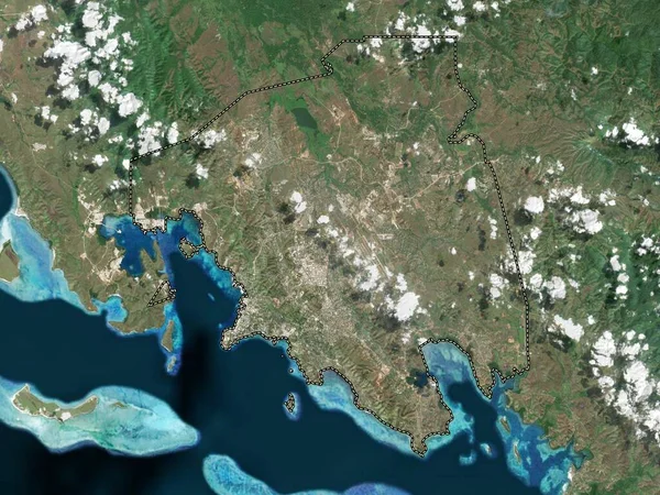
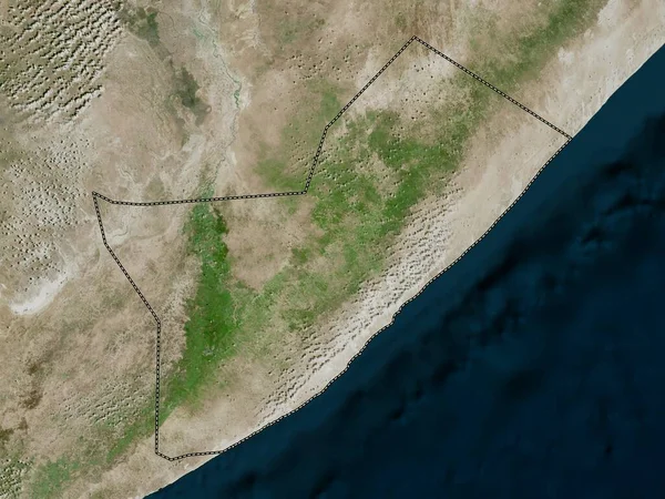
Stock image Shabeellaha Dhexe, region of Somalia. High resolution satellite map
Published:
Feb.24, 2023 13:26:26
Author:
Yarr65
Views:
0
Downloads:
0
File type:
image
/
jpg
File size:
7.13 MB
Orginal size:
3840
x
2880
px
Available sizes:
S
(500 x 375)
M
(1000 x 750)
L
(2000 x 1500)
XL
(3840 x 2880)
EL0
(3840 x 2880)
Level:
bronze
Download Image
Image topics:
Shape
Nature
Border
Contour
Earth
Planet
World
Ocean
Science
Capital
Outline
Country
Map
Geography
Africa
Continent
Land
Zoom
Region
Territory
Atlas
Legend
Som
Somalia
Mogadishu
Stereographic
Administrative Division
Jowhar
Shabeellaha Dhexe
Mahadaay
Cali Deer
Cadale
Similar stock images
Sinaloa, State Of Mexico. Colored Shader Data With Lakes And Rivers. Shape Outlined Against Its Country Area. 3D Rendering
2880 × 1620
Port Moresby, District Of Papua New Guinea. Low Resolution Satellite Map
3840 × 2880
Zoom In On Oued El Dahab (province Of Western Sahara) Extruded. Oblique Perspective. Satellite Imagery. 3D Rendering
3840 × 2160
Ica, Region Of Peru. Grayscaled Map With Lakes And Rivers. Shape Outlined Against Its Country Area. 3D Rendering
2880 × 1620
Zoom In On Krong Pailin (municipality Of Cambodia) Extruded. Oblique Perspective. Topographic Relief Map With Surface Waters. 3D Rendering
3840 × 2160
Israel. Close-up Perspective Of The Country - No Outline. Satellite Imagery
2880 × 1620
Senegal Zoomed And Neighborhood. Satellite Imagery. 3D Rendering
2880 × 1620