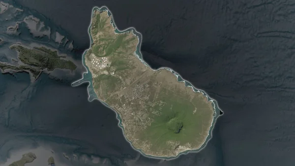
Stock image Sint Eustatius area enlarged and glowed on a darkened background of its surroundings. Satellite imagery
Published: Aug.26, 2020 13:59:05
Author: Yarr65
Views: 0
Downloads: 0
File type: image / jpg
File size: 1.8 MB
Orginal size: 3840 x 2160 px
Available sizes:
Level: bronze
Similar stock images

Sint Eustatius Area Enlarged And Glowed On A Darkened Background Of Its Surroundings. Satellite Imagery
3840 × 2160
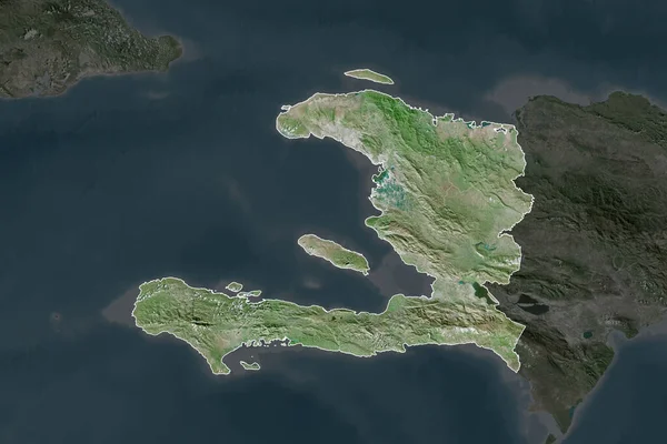
Shape Of Haiti Separated By The Desaturation Of Neighboring Areas. Borders. Satellite Imagery. 3D Rendering
3000 × 2000

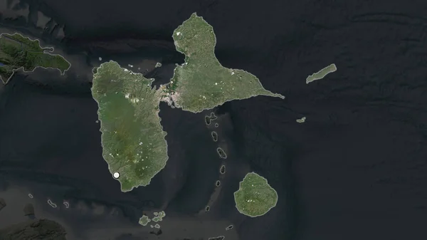
Guadeloupe Area Enlarged And Glowed On A Darkened Background Of Its Surroundings. Satellite Imagery
3840 × 2160

Montserrat Area Enlarged And Glowed On A Darkened Background Of Its Surroundings. Satellite Imagery
3840 × 2160